Devoted hiker Boudewijn de Roo knows a great map when he sees one. He explains why he rates Tracks4Africa’s maps tops and how he came to add a wealth of hiking trails to the database. By Arnold Ras
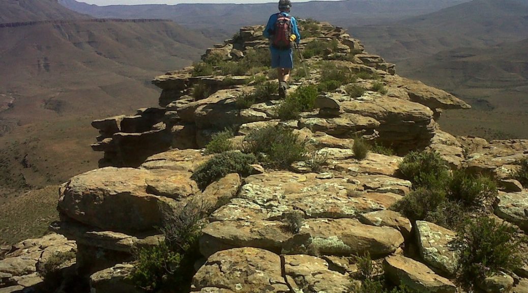
It takes a certain commitment to contribute a hiking trail to Tracks4Africa’s GPS maps. For a start, you have to hike the length of the route, taking steep hills, overgrown bushes and changing weather in your stride. Then you have to upload your GPS points to the T4A database. And while this is quick and easy to do, it’s still up to you to sit down and do it.
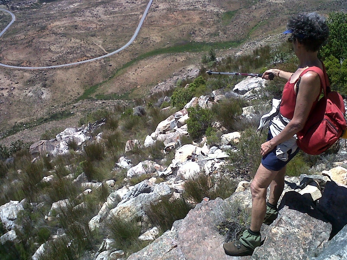
Now imagine doing that not just once, but more than 100 times. That takes the kind of passion that characterises Boudewijn de Roo, retiree from Cape Town. Over the years he’s made multiple routes available to T4A users, from trails that were known to just a select few to ones that had been long forgotten.
But Boudewijn is much more than one of Tracks4Africa’s most dedicated hiking trail contributors. After more than 40 years of experiencing nature on foot, his hiking background is a bubbly fountain of inspiring, and sometimes comical, tales.
An incurable passion for hiking
When he answers the phone, Boudewijn is impressed by my timing: “Exactly three-o-clock! Very professional. Ask whatever you want to ask.”
The intrepid hiker was born in India, grew up in Kenya and Zimbabwe, attended high school and university in Holland, and finally settled in South Africa in 1974. “I’m an outdoor person, but Holland is crowded. The only place you can be outdoors and free is on the water. So, those days, I took up sailing.”
After moving to South Africa, the hiking bug bit Boudewijn in 1980. His passion for hiking would prove incurable. “After studying hundreds of maps, I found all sorts of secret spots. Hiking gives you a new dimension of freedom – to get up in the morning and decide which way to go. Every Sunday, almost religiously, I would go somewhere. If not the Sunday, then the Saturday, or any day of the week.”
The quest for new routes
The passion for hiking went hand in hand with Boudewijn’s passion for maps. “When I bought my first Tracks4Africa map, I was really impressed. After a while, it becomes a challenge to find routes that are not already on these maps. The T4A maps are very comprehensive.”
Thanks to all his time on the trail, he knew where he could fill in the picture. “At first, I would only submit my track logs, but later I started adding useful comments for future hikers. I break up the track logs so that the T4A team knows exactly which section is a tarred or gravel path, an MTB trail or hiking route. Useful information also includes waypoints where one might find a peak, waterfalls, viewpoints and more.”
Ask Boudewijn why sharing this information so diligently with T4A is so important to him, and his answer is simple. Every time he updates his T4A GPS Maps, or opens a new edition of one of T4A’s paper maps, he bursts with pride to see his newly-added hiking trails.
These days, he uses T4A GPS Maps almost “exclusively”. He explains that no other available GPS maps on the market give you the same level of information and accuracy. Whether it’s a pan crossing, secluded stream or hidden route, you will always know where you are.
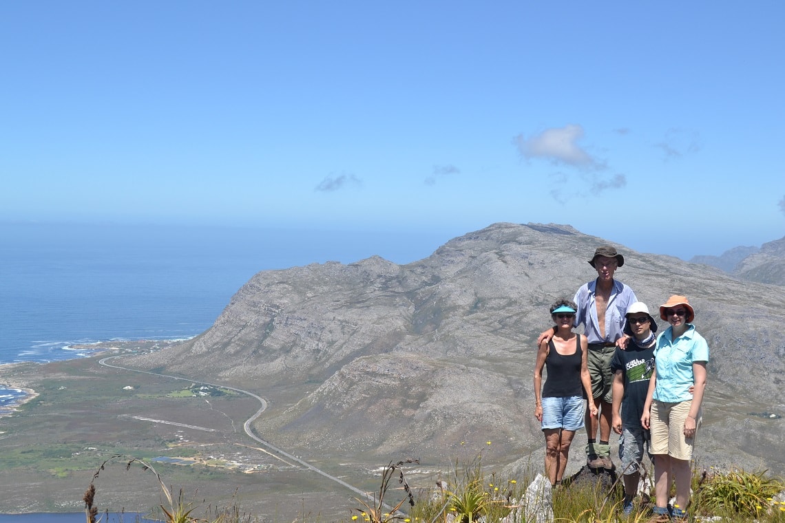
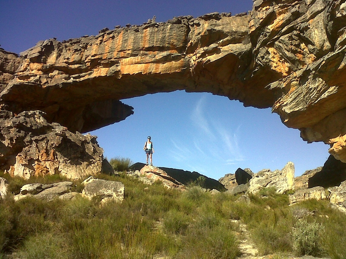
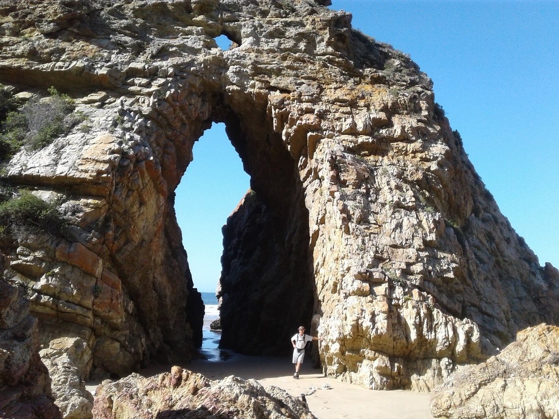
With so many hiking routes under his belt, he must have a few favourite locations? “I enjoy rock formations. I like to sit on a peak, by a waterfall or any other scenic spot at 10:00 for my coffee break with cake. Anywhere in the Cederberg. Also, our plan is to return to the Drakensberg in May – I love it there. Top locations are places where I feel lost. That you can achieve in the Cederberg and the Drakensberg.”
Memories, sweet memories
Although Boudewijn readily admits that he’s no philosopher, he does become emotional when recalling one of his fondest hiking memories. “It was the era after our daughter was born. It wasn’t long before she went along on my back with spare nappies and all. So, after heavy snowfall on the most perfect day imaginable, we went to La Rochelle Nature Reserve – Perdeberg in the Franschhoek Mountains. I remember wiping a rock clear of snow to get a flat surface for a nappy change! Child welfare would not have been impressed!”
Share your data
Did you know that T4A’s data community lies at the very heart of the business’s navigation success and accuracy? As T4A’s GPS maps are built from travellers’ collective travel experience, your data matters! But what to share?
Some common types of contributions include:
- Send GPS files with your GPS track logs and waypoints.
- Use Google Earth to share place markers
- Upload photos for a known point of interest directly to the T4A website.
- Leave comments about a place on the T4A website.
- Submit a description or contact details for a place found on T4A’s maps.
- Found mistakes? Don’t hesitate to submit corrections.
Find out more about how to submit your travel experiences to Tracks4Africa.
