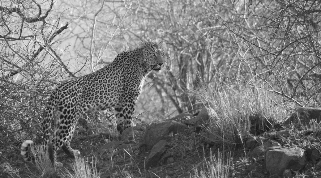
We did the last of our last shopping in Malelane, a town with good facilities, before we entered Kruger at Crocodile Bridge in the south-east of the park. We were heading for Pafuri in the far north of the park and opted to stay at smaller rustic camps where possible.
Our first stop, Crocodile Bridge Restcamp, is a quaint, well-shaded medium-sized camp with excellent facilities. It offers camping with neat ablutions and lodging in pre-erected tents or self-catering rondavels. Facilities include a fuel station, well-stocked shop, ATM, coffee shop and indigenous nursery. Continue reading Kruger NP south to north and beyond…→
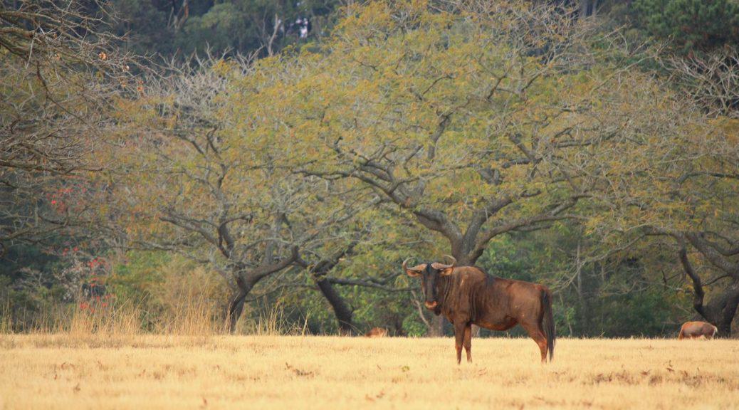
As we were heading for the Kruger National Park from the Golden Gate NP in the Free State, we had the choice of either sticking to the beaten track or driving through Swaziland. I was quite keen to explore the latter route since I was curious to get a feel for the smallest country in the Southern Hemisphere. By Karin Theron
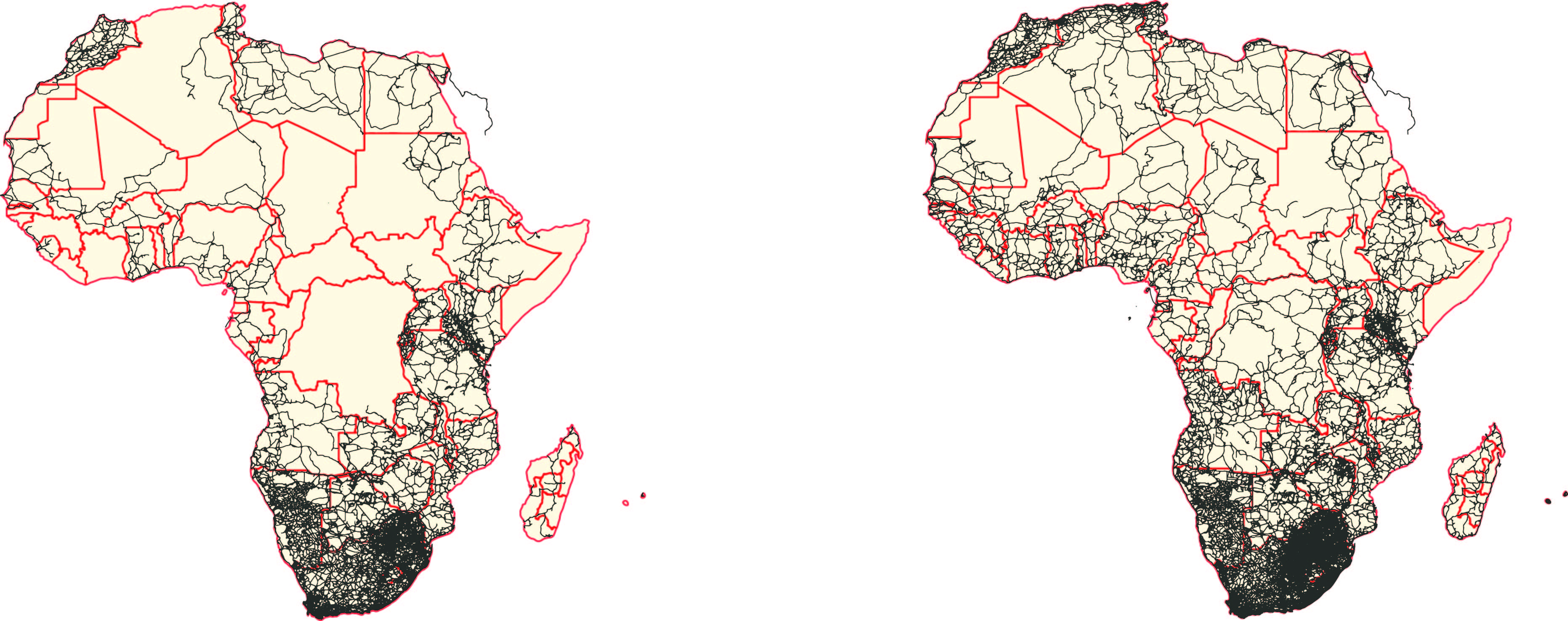
This October we are celebrating 10 years of selling GPS maps in the retail market. We actually started with our first commercial maps back in 2005 but it was only until 2006 that we launched the first maps on a CD and then later migrated to SD card.
While designing the new cover I thought about the last decade and how things have changed. At the heart of T4A maps is community mapping but the technology made it possible to do so much more than what we used to ten years ago.
The basic idea
Tracks4Africa started out by sharing tracks and waypoints and from this data we later started building a map which grows organically as people travel and contribute data or comment on aspects of the maps which needs to be updated. Continue reading How we make maps→