Category Archives: About us

LAND LOVER to become a Sea Gypsy

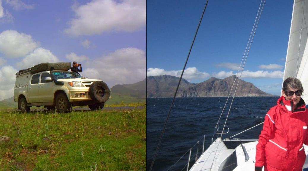
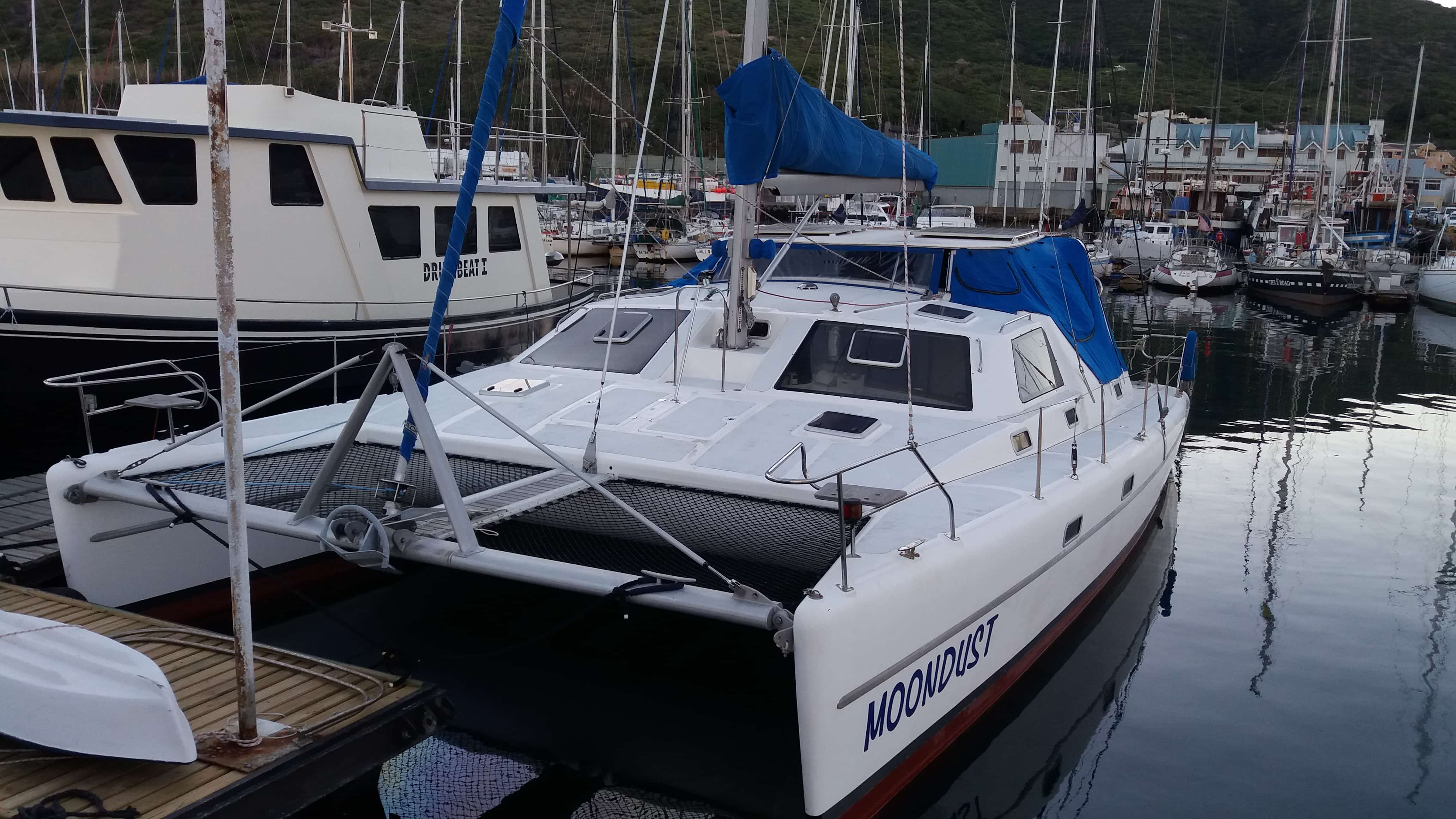
The wind conducts a tinkling symphony, tapping lines against the masts, and I marvel at the interesting names as I walk down the jetty: Cape Dawn, Kind of Magic, Ariel, St Augustine, African Dream, Sea Born, Le Murls, Rosie Dry, Wind Song, Tenacity, Figaro, Sweet Waters and Maximillien to name a few. I realise that I have grown to love our marina since we sailed into Hout Bay with Moondust in October 2016…

Moondust…

Shortly after returning from our seven month trip to Ethiopia in 2015, Pete was reminded of his dream to go sailing. For me sailing was quite foreign as I grew up in the Transvaal and was never really exposed to it.  However, I am always up for adventure and so, when Pete asked if I would like to accompany him I didn’t have to think hard about joining him on an extended cruise. Continue reading LAND LOVER to become a Sea Gypsy

How we make maps

Map growth over the last couple of years

This October we are celebrating 10 years of selling GPS maps in the retail market.  We actually started with our first commercial maps back in 2005 but it was only until 2006 that we launched the first maps on a CD and then later migrated to SD card.

While designing the new cover I thought about the last decade and how things have changed.  At the heart of T4A maps is  community mapping but the technology made it possible to do so much more than what we used to ten years ago.

The basic idea

Tracks4Africa started out by sharing tracks and waypoints and from this data we later started building a map which grows organically as people travel and contribute data or comment on aspects of the maps which needs to be updated. Continue reading How we make maps

Finding the roots of Tracks4Africa

By Johann Groenewald (co-owner of Tracks4Africa)

People often wonder how Tracks4Africa started out.   Today’s company with twenty-odd employees and product representation all over the world started out as a simple quest for information.  I asked founder, Wouter Brand, to take me on a trip to see where it all began.  The mode of transport would be Wouter’s only manner of travel these days – motorbikes and the destination would be nowhere specific, other than the remote Namibian landscape.

The bikes with Brandberg in the distance.
Our destination was remote Namibia.

Around the year 2000, GPS equipment became available for the recreational user and a few technically minded travellers quickly seized the opportunity to better orientate themselves to their surroundings.  Wouter recalls a trip to Namibia around that time with friends in  Kaokoland, which is a very remote part of Namibia and where getting lost is easy.  Knowing where you are is only part of the navigation story; knowing where to go is also vitally important. Continue reading Finding the roots of Tracks4Africa