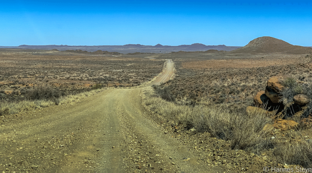
The N1 is the quickest way from Gauteng to Cape Town, but to see more of South Africa, swap tar for gravel roads and take a meandering route. Hannes Steyn shares the trip report of his 10-day journey.
When lockdowns and border restrictions prevented Hannes Steyn from setting off on his 28-day planned trip to Lake Malawi, he settled on a different idea. He’d read a magazine article outlining a 4-day gravel trip from Johannesburg to Cape Town. Departing from Pretoria, Hannes decided to spend 10 days in December 2020 travelling from north to south and exploring lesser-known towns along the way. This is a condensed report of his adventure.
Day 1: Visit to a ghost town
Planned route: Pretoria > Devon > Greylingstad > Val
Point of Interest: Greylingstad ghost town
Distance: 192km
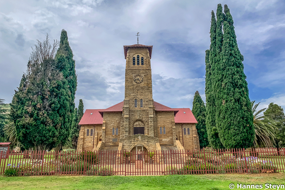
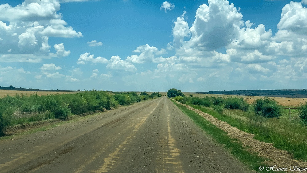
Some 9km out of Pretoria we turned onto the first gravel road, which led past the massive military graveyard at Belltrade. Our route zigzagged to the east of Delmas and onwards to Devon, where we discovered a genuinely nice watering hole, Die Grasdak. The gravel track to Greylingstad was in excellent condition and we made good time. Although this town seems to be dying, the NG Church is impressive and well maintained. Situated against a hill to the west of Greylingstad is a ghost town, once a thriving community that has since been abandoned. As heavy clouds gathered in the sky, we reached our destination for the day: Val, one of the best little towns for an overnight stop. It is also the location of one of South Africa’s iconic pubs, the Moeggeploeg Kroeg.
Day 2: Wet weather
Planned route: Val > Cornelia > Frankfort > Petrus Steyn > Lindley > Steynsrus > Ventersburg > Aldam
Distance: 339km
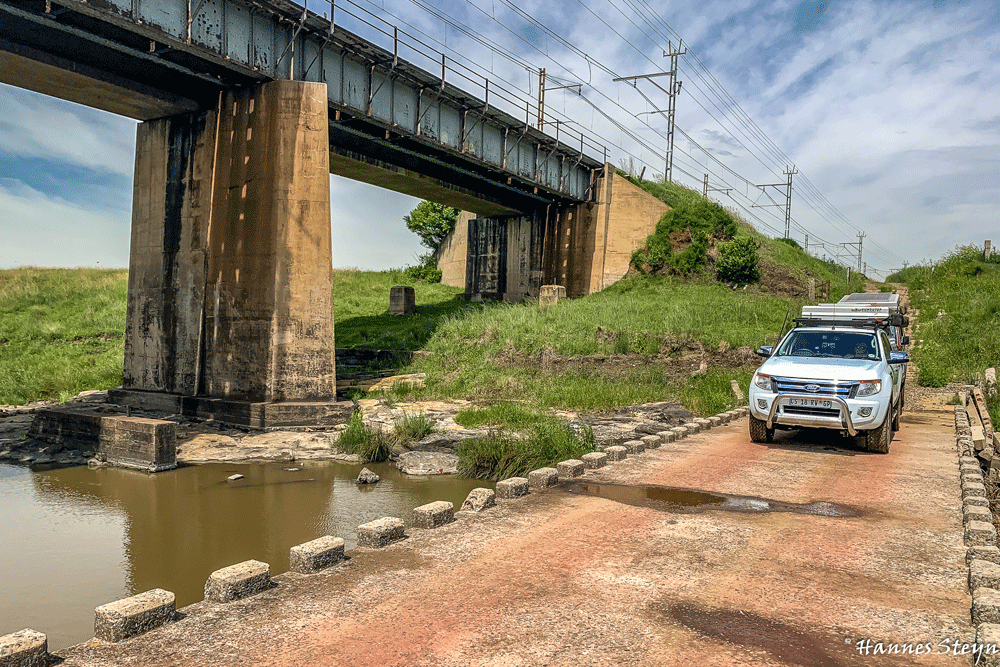
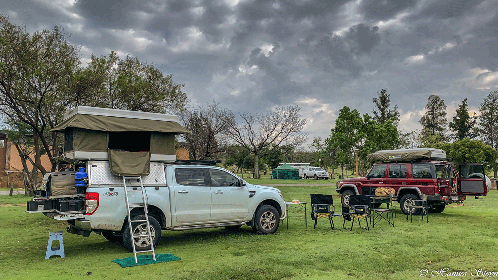
Overnight the rain came – lots of it – and we knew the drive would be interesting. The roads weren’t simply wet, they were continuous mud pools, and plenty of sliding awaited us. From Val we headed east along the railroad track, but soon ran into a problem. The bridge at S27.07582° E28.98248° was gone and the Venterspruit was in full flow. After a lengthy detour we reached Cornelia and carried on to Frankfort for an excellent late lunch at the Safari Take Away. Because of the time lost on the detour, we opted for the fastest route to Aldam: the R34 to the N1. Like so many Free State tar roads, the R34 was riddled with potholes, but we arrived at Aldam’s well-maintained campsite in time for a stunning sunset.
Day 3: Water crossings and good gravel roads
Planned route: Aldam > Winburg > Verkeerdevlei > Brandfort > Petrusburg
Point of interest: Krugersdrift Dam
Distance: 295km
From Aldam we took the gravel road to Winburg, where we had a first-rate breakfast at the Mecca restaurant at the BP fuel station. Our route to Verkeerdevlei crossed several streams that were in flood. The Free State’s gravel roads were in much better condition than the tar roads we’d faced the previous day. We stopped at the Krugersdrift Dam, which would overflow spectacularly a few days later. Both Brandfort and Petrusburg were disappointments, but we found a soft landing at nearby Kandirri Game Lodge.
Day 4: The centre of South Africa
Planned route: Kandirri > Emmaus > Steunmekaar > Jagersfontein > Fauresmith > Luckhoff > Orania
Points of Interest: Emmaus, Orania’s breweries
Distance: 244km
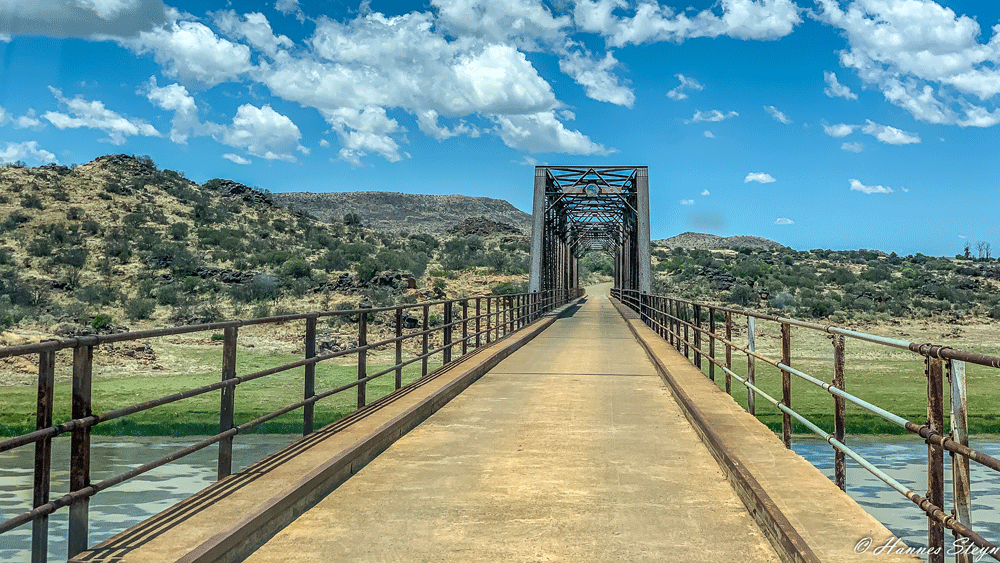
The first stop of the day was Emmaus, believed to be the centre point of South Africa at S29.03605° E25.24878°. We found nothing but an unused siding and a few grave stones, but it was still a tick on the to-visit list. Our plan to travel via Steunmekaar to Jagersfontein was foiled by a locked gate, so we continued to Fauresmith and then on to Jagersfontein. The road proved scenic and we crossed the Riet River via a pre-Anglo Boer War single lane bridge. Travelling via Luckhoff we made our way to Orania and stocked up on some craft beer in town.
Day 5: Deserted stations
Planned route: Orania > De Aar > Victoria West
Points of Interest: English blockhouses, Burgerville ghost town
Distance: 341km
Our plan for the day was to search for the ruins of the Burgerville ghost town and we headed south to follow the railway road to De Aar. The road led past a massive solar farm and we were greeted with loud hoots from a passing train. Unfortunately we had to abandon our search for the ghost town – a painfully slow drive that took 1 hour to cover just 12km had ended at another locked gate. From De Aar the road led through arid countryside and wind pumps became a frequent sight. Almost all the little train stations were abandoned. Particularly impressive was the station master’s house at Deelfontein. We spotted the first blockhouse just before Merriman station. In Victoria West we checked in at the Merino Junction Hotel for a well-deserved beer and a cooling swim.
The gravel roads to Cape Town will continue in part 2, with more on Hannes Steyn’s route through the Karoo and Cederberg.
