Situated on a mountaintop and surrounded by forests, Hogsback is nothing short of enchanting. But it’s when you take gravel passes into the surrounding countryside that you really fall under its spell. By Danny Eldridge
I remember visiting Hogsback and the nearby Katberg Hotel in the 1980s as a teenager, especially when there was snow on the mountains. This area is a wonderworld of amazing panoramic mountain views and stunning massive yellowwood forests. There was a 10-year gap in my visits to Hogsback while I was working abroad. When I returned in 2012, I began to explore 4×4 options in the area, exploring the farmlands, villages and historical sites. Mark from The Historic Hogsback Inn was helpful with information on great 4×4 routes in the area. I have now made numerous trips, both as a solo traveller and with 4×4 groups, most recently over the past summer.
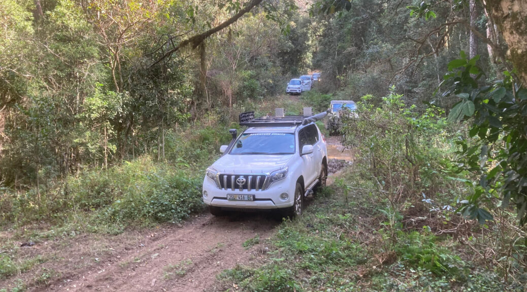
An impassable pass
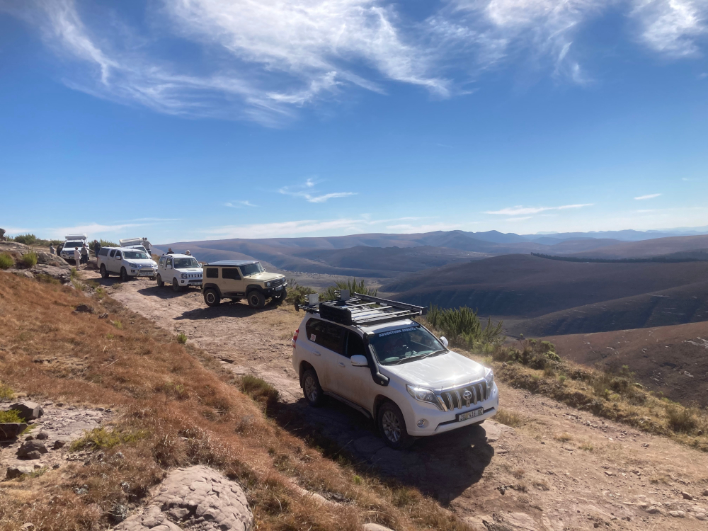
We had arrived in Hogsback and set up camp at The Historic Hogsback Inn the night before. I usually like to start with the scenic Katberg Pass, which cuts through forests and offers sweeping views from the summit. However, a massive landslide in 2025, which sheered away a good few metres of the track, means 4×4 vehicles can no longer do the pass. Instead, on the first day we followed Michel’s Pass down to Seymour, a route that is strictly for 4x4s. This pass has a lot of deep washaways near the top that would not be passable when wet, but luckily it was dry and we had no problems. Although the overgrown black wattle did not prevent us from travelling along this route, I would recommend carrying trimmers and saws in case clearing is needed.
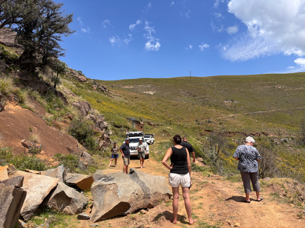
From Seymour we trundled on along gravel back roads to the Katberg Eco Golf Estate before stopping at the historic Dutch Reformed Church in Balfour. The countryside lay spread wide open around us as we skirted Mpofu Game Reserve. Worth seeing in the area are the ruins of the Post Retief Barracks and the tiny, whitewashed church of St John the Evangelist in Winterberg. From there it was up Dewaalskloof Pass, with a stop at a massive rockfall at the top of the pass for a lunch break. After lunch, feeling suitably fortified, we tackled the technical manoeuvring needed to navigate the edge of the large steep slope.
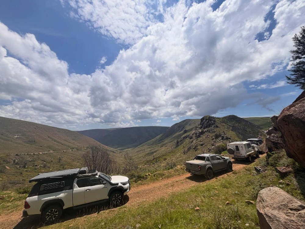
Breathtaking views
The evocatively named Devil’s Bellows Pass is one of the area’s most breathtakingly beautiful, with views over the surrounding mountains and valleys. The name apparently comes from the fierce gusts of wind that howl through the area – luckily, we were protected against any gales inside our vehicles. We made our way through deep washaways, which wouldn’t be passable in the wet, and down to the gravel roads leading to Whittlesea. Just in time as well, because a huge downpour around 14:00 turned the roads into little rivers.
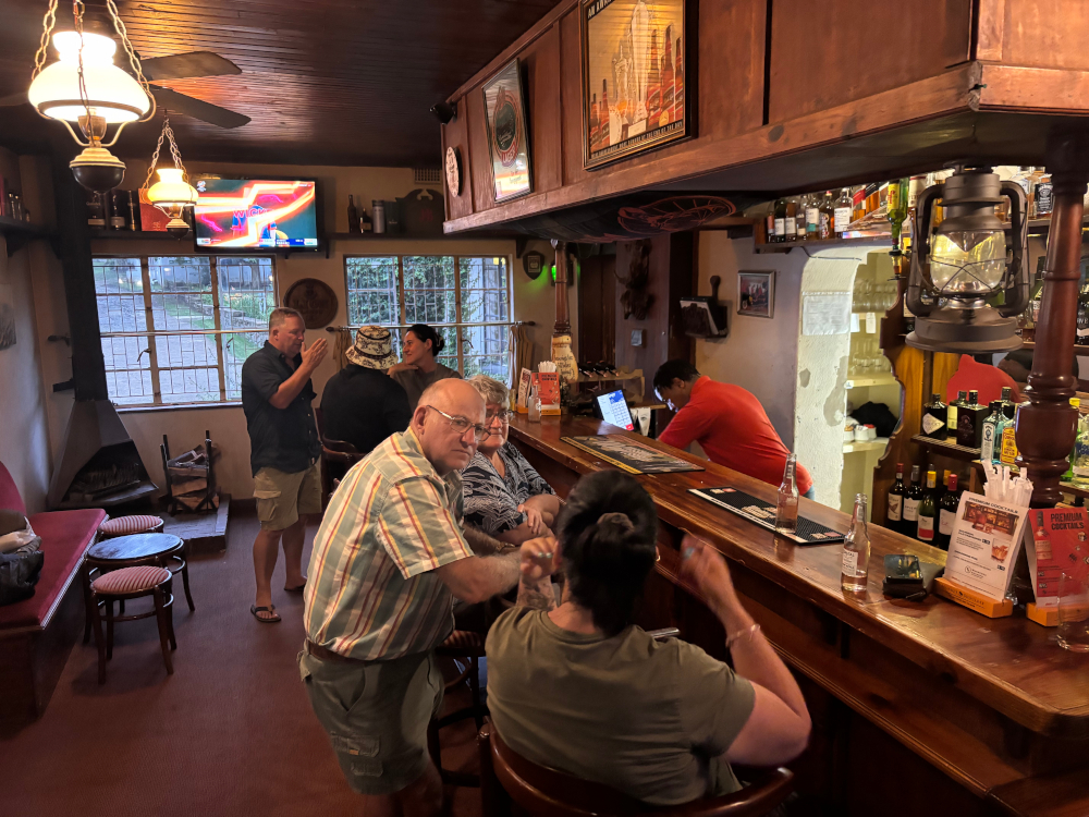
We continued on gravel towards Kolomane as the rain pelted down for another hour. Turning off just before Kolomane, we travelled across to the Klipplaat Road and followed this back to Hogsback. We had a full first day, arriving back at camp around 17:00. With some more heavy showers blowing through in the early evening, we decided to take it easy with a meal in The Historic Hogsback Inn.
A trip through time
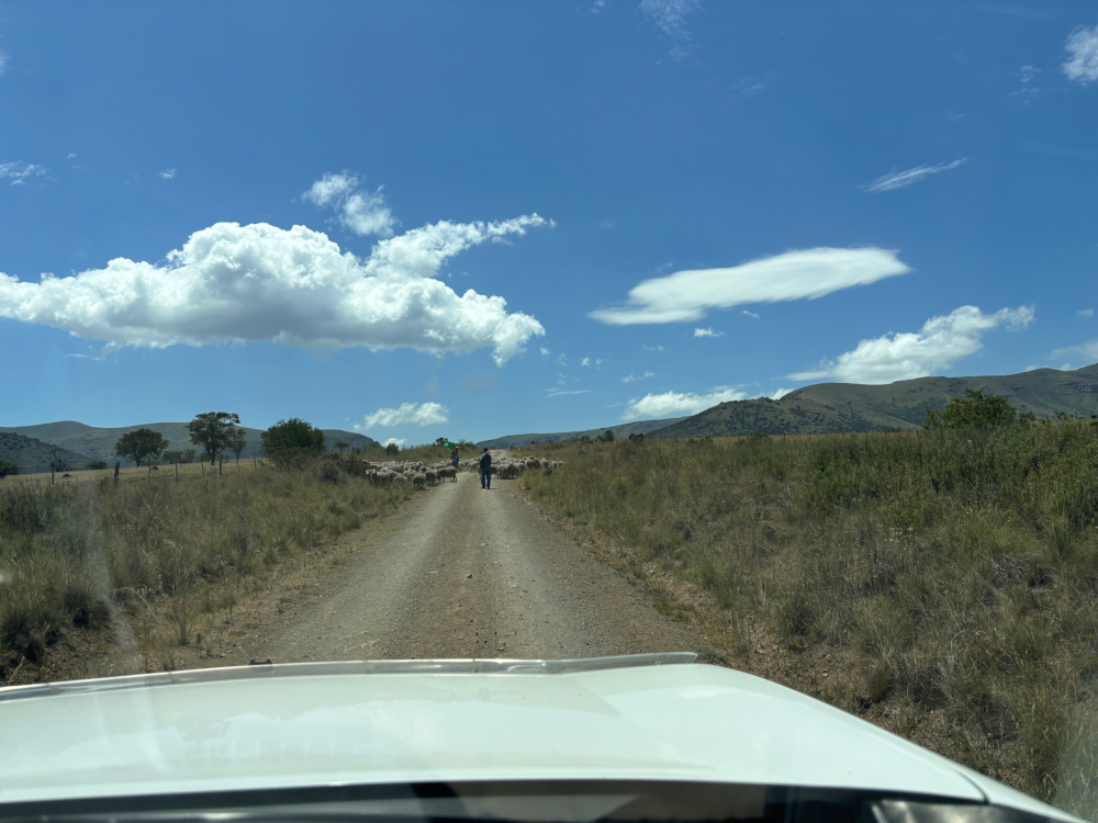
Summer means thunderstorms and there was more rain predicted for the second day. Combined with the deluge of the previous night, conditions weren’t looking good for the Wolfridge Cutline 4×4 Route. The route would be very wet and difficult, even dangerous. What’s more, a number of trees had reportedly fallen across the track. So we changed the route to explore some of the scenic surrounds instead. But first Mark from the Hogsback Inn consulted local farmers as there were foot-and-mouth restrictions in the area.
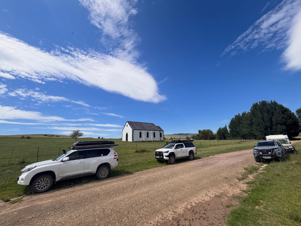
Fortunately, there is a network of gravel roads and the countryside is dotted with interesting sights. Day two began with a visit to Hogsback’s St Patrick on the Hill Chapel, a beautiful stone building run as an interdenominational church. Travelling along the Happy Valley loop, we stopped at the Christ Church, another small quaint building standing alone on the plain. Continuing on to Cathcart, we made our way to the charming hamlet of Thomas River.
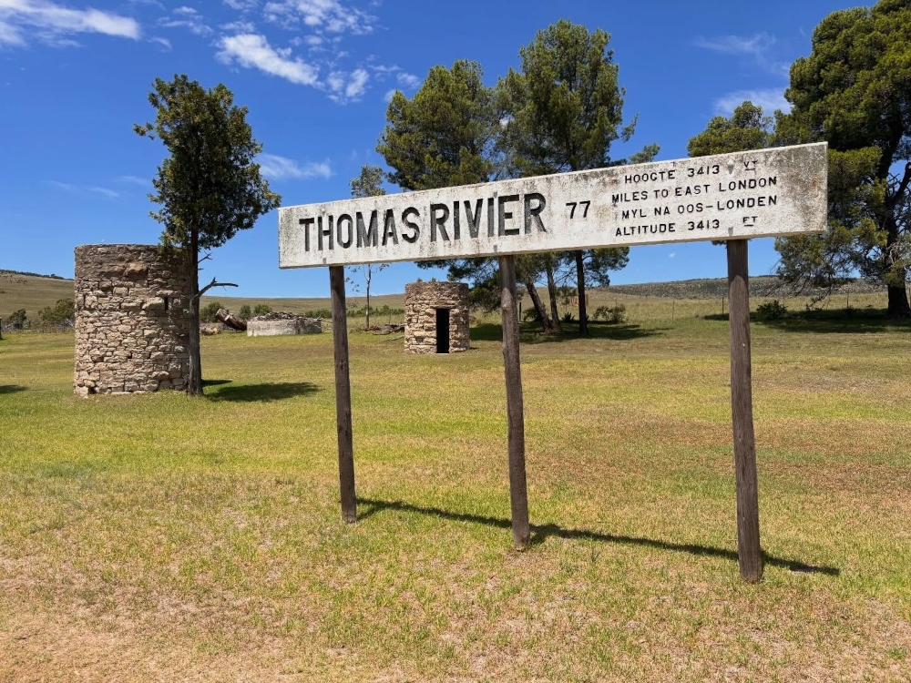
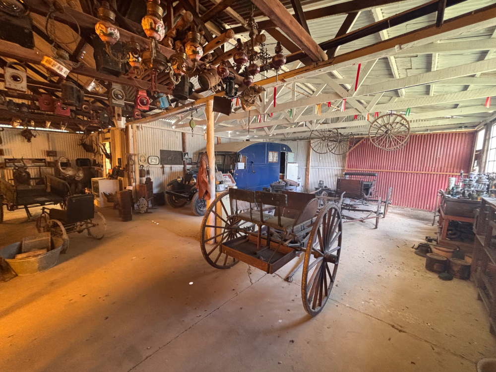
Visiting this well-preserved village is like stepping back in time. Buildings that date back to the late 1800s evoke a different era and it is easy to spend a few hours wandering around. Thomas River is home to three museums and you can admire collectables and old modes of transport. After lunch in the village, we returned to Hogsback for a coffee at The Edge. Perched on the edge of the cliff, this mountain retreat has spectacular views.
Historical sights
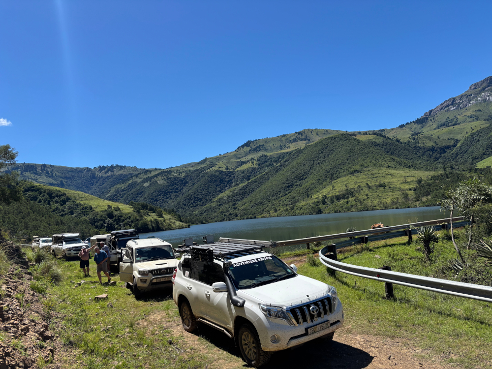
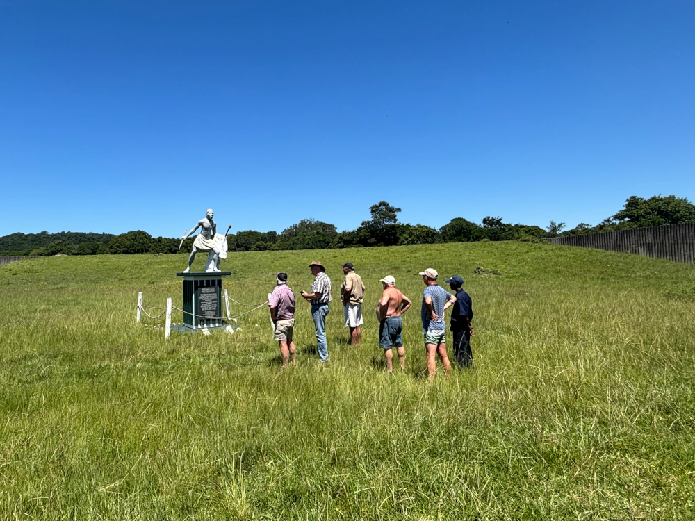
Day three was leisurely from a 4×4 perspective as we embarked on a history tour led by Mark from The Historic Hogsback Inn. I highly recommend this tour if you visit these parts. We followed Wolf River Pass to Sandile Dam. where Boma Pass – the site of a famous battle – now lies submerged beneath the surface. This corner of the country saw fierce fighting between the Xhosa and the British. We paid visits to Chief Maqoma’s Grave, King Mgqika’s Grave and the Burns Hill Ambush Memorial, while the Zincuka Battle viewpoint was the setting for a quick lunch break. The last stop on the tour was the Christmas Day Massacre Memorial, which commemorates an event from the 8th Frontier War.
The rest of the day we were free to explore and enjoy the sights of Hogsback. A good idea after some days in the car is to take advantage of the hiking trails in the area. The 39 Steps Waterfall is an easy stroll in the centre of the village, perfect for stretching the legs. The walk to the beautiful Madonna and Child Waterfall leads through forest scenes and takes about 2.5 hours. Hogsback also caters to more adventurous types with mountain biking, horse riding, abseiling and other activities. After driving its gravel roads and enjoying the views from its passes, I was reminded why I come back time and again. It’s simply magic.
Good to know
- Hogsback has a variety of restaurants and hotels for meal options. Accommodation ranges from backpackers and camping to self-catering and fully inclusive hotel stays.
- There are many 4×4 routes in the area, several on private land, which need to be arranged in advance. Enquire with Mark at The Historic Hogsback Inn.
- Inform your accommodation of your route for the day and your ETA. In these remote areas there tends to be poor signal. If you encounter problems, it’s best if others are also looking out for you.
- Plan alternate routes in case of adverse weather – conditions can change quickly in the mountains.
- Wolfridge Cutline down to Keiskamma, up to the dams and then returning to Hogsback via Wolf River Pass is a great route. You will need detailed maps and a guide who has done the route before or you are likely to get lost. Recommended minimum of two vehicles with clearing equipment and not advisable when raining or wet.
- An enjoyable alternate route is Wolf River Pass to Keiskamma, via Dontsa Pass to Stutterheim (visit the Engine Museum) and then Thomas River. Return to Hogsback via Happy Valley.
About the overlander
Danny Eldridge has been exploring South Africa’s wild places for over three decades. He is a qualified field guide with special training in first aid, snake bite first aid, 4×4 recovery and more. You will mostly find him out in the field: leading trails, working as SANParks volunteer or just enjoying the natural splendour.
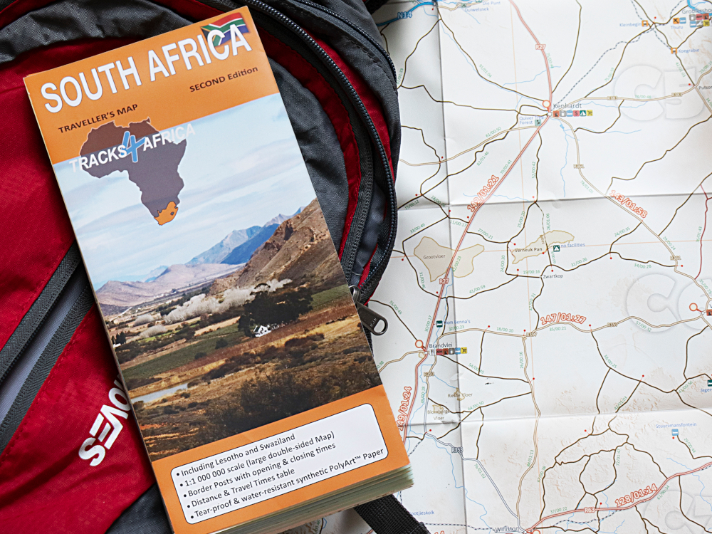 Let the Tracks4Africa South Africa Paper Map show you the way. With accurate distance and travel times, it’s ideal for trip planning and navigation, especially if you enjoy exploring off the beaten track. It’s printed on tear-proof and water-resistant paper, so it’s rugged enough to take on the road. Useful icons make it easy to know what traveller services to expect when you venture into remote parts.
