When you record waypoints, you enrich your GPS track data and provide valuable information to other overlanders. By Nell Hofmeyr
Why are waypoints so important? Well, waypoints are specific coordinates along a track that are worth noting. For example, a waterhole, a campsite, a fuel stop or a police station. In other words, things that matter to overlanders and make the journey better.
Rules for creating waypoints
1. Only create a waypoint once you have pulled over. If you try to mark one while driving, it can be out by hundreds of metres. Plus, it’s unsafe to work on your GPS while moving.
2. Categorise your waypoint according to what it is: viewpoint, shop, lodge, etc.
3. Accurate spelling for each waypoint is a must.
4. Write a short description. The more detail the better! For instance, if it’s a takeaway spot, note some of the items on offer.
5. Always give contact details where possible.
6. It is better to provide fewer waypoints that are informative and useful rather than hundreds of waypoints with virtually no meaning. Quality over quantity!
Type of waypoints
Not sure what type of waypoints or POIs we’re looking for? Here’s our shortlist and what details to include:
• Accommodation: The name of the establishment and type: camping, self-catering, hotel, lodge, B&B, etc.
• Picnic sites: These can be official sites for day visitors or roadside pitstops.
• Community services: police stations, hospitals, doctors, pharmacies, etc.
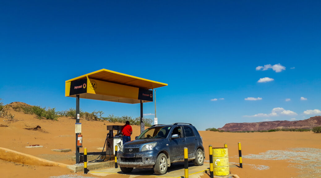
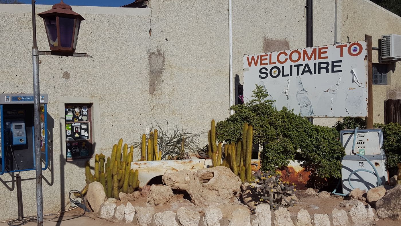
• Other services: supermarkets, restaurants, fuel stops, towing service, tyre repair services, where to buy a SIM card and airtime, a reliable butcher, farm stalls, etc.
o NB: When plotting a fuel station, please note if petrol and/or diesel is sold.
• Entry gates or reception areas: Include whether you have to report or register.
• Toll gates and checkpoints: veterinary checkpoints, veterinary gates and police checkpoints where permits are checked.
• Warnings: Indicate if the road conditions could be problematic e.g. very muddy/sandy/rocky or meant for 4×4 only. Include whether a permit is necessary, a guide is required or a place is considered dangerous, etc.
• Permanent road closures
• Points of Interest (POI): sights such as monuments, natural attractions, museums, lookout points, etc.
• Border controls: opening and closing times, costs, must-know info, other services offered, etc.
NB: For any service, whether a shop, lodging or public service, please include contact details: telephone number, email address, website and other relevant contact info.
Need to know
While we receive plenty of data contributions for things like accommodation, restaurants, campsites and shops, we don’t always get as many for services. Any service point, whether it’s a police station or tyre repair shop, is a valuable addition to our database. Just think, you could save someone a lot of stress by providing information on the useful services you come across.
Useful links
How to download and submit data

Question: When entering a POI, I do it on myr Garmin nuvi 2689 GPS. How do I get that information to you chaps for entering into your database?
It would be great to receive your POIs, Donald, thank you. Take a look at this blog which explains the process for downloading the data from your GPS to your computer, so that you can share with Tracks4Africa: https://blog.tracks4africa.co.za/how-to-contribute-data-tracks-waypoints/ Email newdata@tracks4africa.co.za with the data you have downloaded or for further assistance.