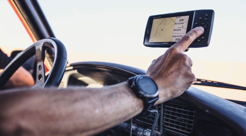
Your Garmin GPS loaded with the Tracks4Africa map is your best travel companion when you navigate the backroads of Africa. However, your GPS is more than just a navigational tool; it is also a source of valuable information. Continue reading More uses for your GPS than navigation
Tag Archives: Tracks4Africa map
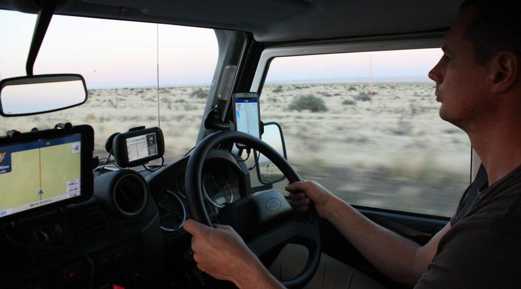
Do you really need T4A?
So, you’ve heard about the Tracks4Africa maps and wonder what all the hype is about. Are they really worth getting for your next trip?
With so many mapping applications available on smartphones nowadays you are right to wonder. The short answer is that it depends on where you intend to travel. For city navigation, the Open Source/Google/Garmin maps will be sufficient, but if you plan to travel off the beaten track, like most overlanders, you will find that you cannot go without T4A, either on your GPS or tablet/smartphone.
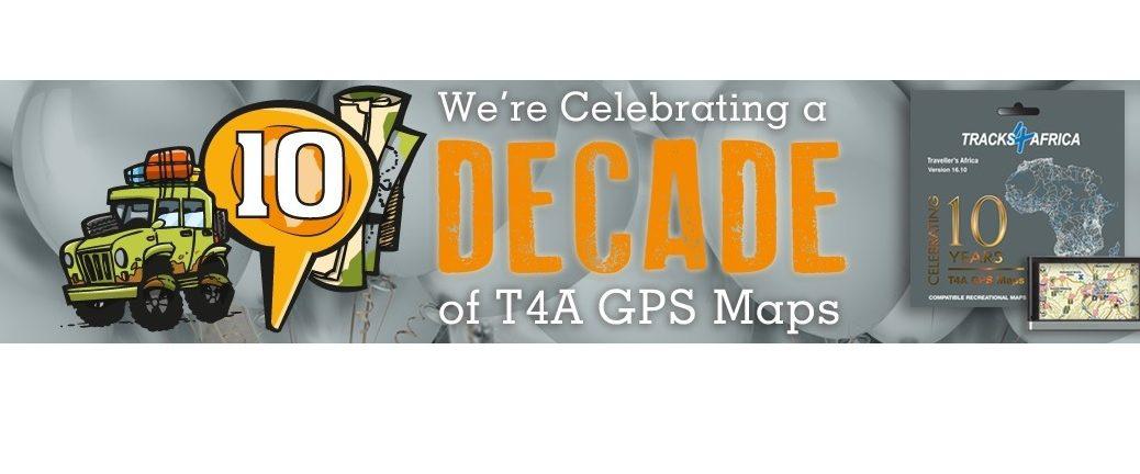
Celebrating 10 years of GPS mapping!
With the current 16.10 map release, all at Tracks4Africa are celebrating the sale of our GPS maps in the retail market for a full decade! The new release will be available in major outdoor retail shops and from our online shop from mid October.
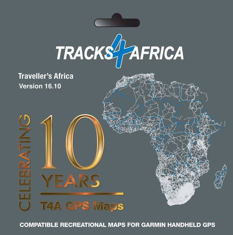
We received 555 data submissions from loyal users to create this version which not only means more roads and points of interest on the map, but also corrections to the existing map and data. The overall quality of the map has once again improved significantly.
We now cover:
- 1 117 780km of fully navigable roads, covering the whole of Africa
- 3 845 campsites (the most complete camping data base in Africa)
- 156 753 points of interest
- 1 452 protected areas such as national parks and game reserves
- 13 397 accommodation listings
- 10 562 fuel stops
- 6 141 places to eat or drink