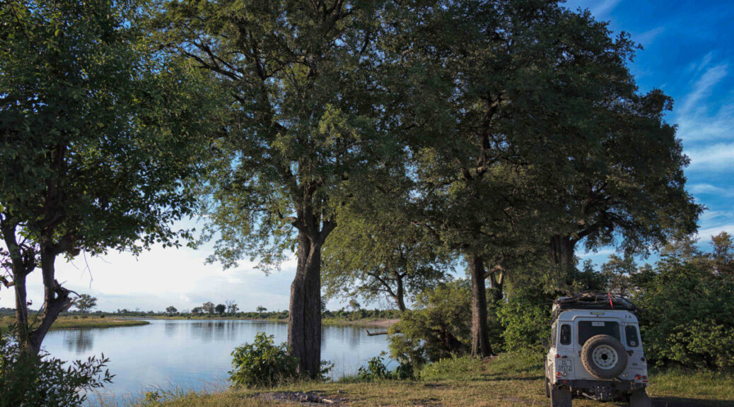
Tracks4Africa maps are made by overlanders for overlanders, ensuring our data is relevant, reliable and up to date. It’s simple enough to contribute your tracks and keep other travellers in the loop. Here’s what you need to know about recording and submitting GPS data.
When you’re travelling remote areas in Africa, the accuracy of your map matters even more than usual. You don’t want to be caught driving after dark because you had no idea 50km could take three hours. And when you need fuel or a place to stay, you need to know exactly where to go. There’s simply no guarantee you’ll find what you’re looking for past the next baobab.
That’s where Tracks4Africa maps come in. We continuously collect and process the GPS tracks of overlanders to produce authoritative maps of Africa. Our maps reflect the reality on the ground in terms of travel times and road conditions. They are also specifically aimed at self-drive travellers, highlighting useful places like campsites, shops and mechanics.
We couldn’t maintain our accurate, ground-truthed Africa maps without the input of the overlanding community. If you’ve ever used Tracks4Africa to guide you or looked up a Point of Interest or found your way to an off-the-beaten-path location, please contribute your tracks. It is overlanders like yourself that make it possible to keep our maps current.
How can you help?
The main way to contribute is to share your GPS tracks and waypoints. Whereas tracks are GPS data of your actual travels, waypoints indicate specific stops on your journey. Both types of information are immensely useful.
Tracking your adventures
Overlanders travel to some out of the way places. Often these places are not covered by mainstream maps, but there may be a route that locals use. If you find yourself on a road that isn’t on Tracks4Africa yet, let us know!
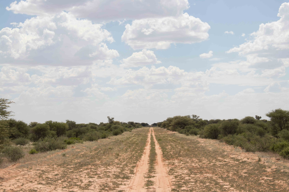
But when it comes to GPS tracks, we’re not only interested in new routes. By recording your own tracks as you travel, you can also help us verify that a road exists, the average travel time required and current road conditions.
To record your tracks, a few key things need to be in place. Don’t worry, it’s not complicated. Simply follow our step-by-step guide to ensure your GPS is correctly set up – use the link below to read more.
Noting useful information
At the end of a dusty drive, there’s nothing like a frosty drink. On a trip to Zambia some years ago, Tracks4Africa co-founder Johann Groenewald ran out of ice. But by looking at the Points of Interest (POIs) in the area, he tracked down a little shop where he could stock up. The day had a happy ending thanks to the waypoints recorded on our maps.
As an overlander, you know exactly what type of information has the power to make a journey better. If you come across a POI, whether it’s a place that sells freshly baked bread, a magnificent viewpoint or a fuel stop, record the waypoint. Click on the link below to learn more about doing so.
Android users of the Tracks4Africa App can contribute POIs directly through the app. Select “Check-ins & Corrections” from the hamburger menu.
You can also suggest corrections to POIs on the Tracks4Africa Online Trip Planner. Log in to the trip planner, click on the POI and select more to suggest a correction.
Submitting your data
There are a few steps to getting the recorded data from your GPS and onto your computer so you can share it with us. Use the link below to learn how to download data and submit it to Tracks4Africa.
How to contribute data: tracks and waypoints
