Want to be sure you stay on track when you overland? Get GPS Maps version 24.10 for up-to-date routing.
Overlanders have come to depend on our Tracks4Africa GPS Maps because they know they reflect the reality on the ground. These maps are the product of a whole community: researchers, cartographers, adventurers, travellers and people who work in far-flung places. Thanks to their efforts, Tracks4Africa GPS Maps version 24.10 brings you the latest information.
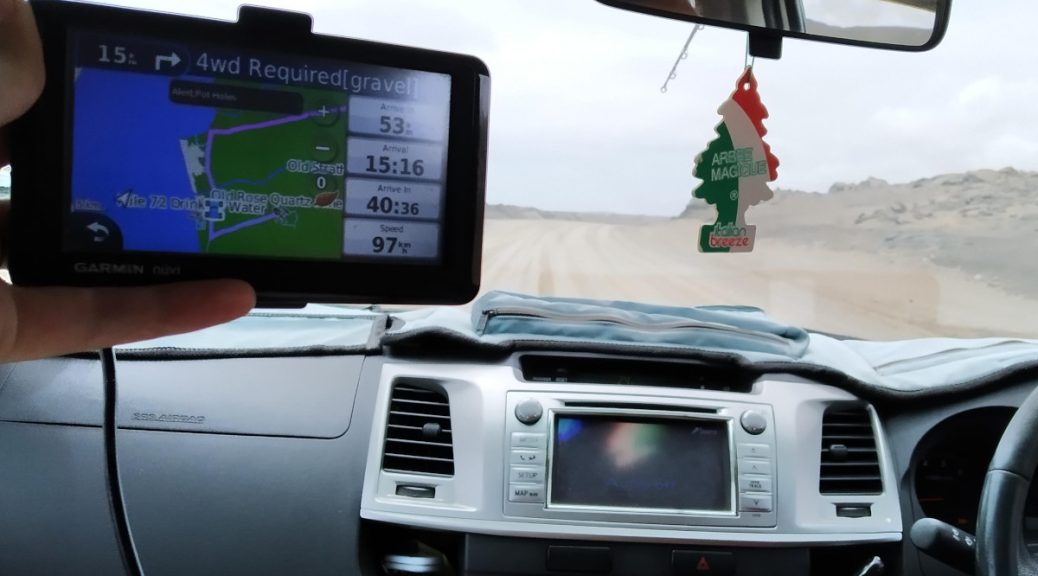
For your convenience, this mapset is loaded on a micro SD card with standard adapter. Simply plug it into your Garmin GPS device and you’re ready to navigate.
What’s new in GPS Maps version 24.10?
We are working on several new products and this release has benefited from that research. Firstly, an updated Mozambique and Malawi paper map is on the cards. GPS Maps v24.10 therefore shows an increase in road coverage and updated points of interest (POIs) for these countries.
Secondly, we are busy updating our popular Botswana guide book. This project has led to an increase in POIs in Botswana. Finally, the research for the upcoming Zimbabwe guide book is still yielding results. Expect more POIs for this country in GPS Maps version 24.10.
Furthermore, we have made updates to road types and surfaces in Namibia, also updating ring roads around Windhoek and Lilongwe (Malawi).
Map coverage
1,449,372km of roads (2.1% increase from previous version)
278,795 POIs (1.65% increase)
19,928 accommodation listings (3.6% increase)
4,769 campsites (1.8% increase)
9,161 places to eat or drink (3.3% increase)
15,530 fuel stops
2,634 protected. areas
Change log
Further updates to Mzuzu (Malawi), Douglas, Pretoria, Hartbeespoort Dam Canal Route, Drie Kuilen Nature Reserve, Iona National Park

Update to the map style
Changes in newer GPS devices have prompted us to update the map style. On newer GPS models, decluttering of the GPS map screen led to minor roads and tracks becoming very feint. Since our focus is specifically to highlight less explored roads and areas, we wanted to show these with more definition.
The new map style is by far superior, enabling you to take in important information at a glance. This style uses different colours to distinguish between road types and matches the look of our online map.
These two pictures show the difference between the old map style (left) and the new one (right) for the same area.


The update to the map style also means a change in the display on Basecamp, with road lines being thicker. We appreciate that some users may not want to use this for planning purposes. Therefore we give users the option to load the old map style during installation so they can use this on Basecamp and their GPS if preferred.


We strongly suggest selecting the T4A Optimized Style when you install our GPS Maps. It enhances display for the Garmin screen while the latest version reduces visual clutter in Basecamp. All in all, it makes for a more satisfying navigation experience.
Free upgrade
When you buy Tracks4Africa GPS Maps on SD Card, you also get a free upgrade once the next version is released. To get the upgrade, you need to register your SD Card on the Tracks4Africa site. Learn how to register your SD Card.
