
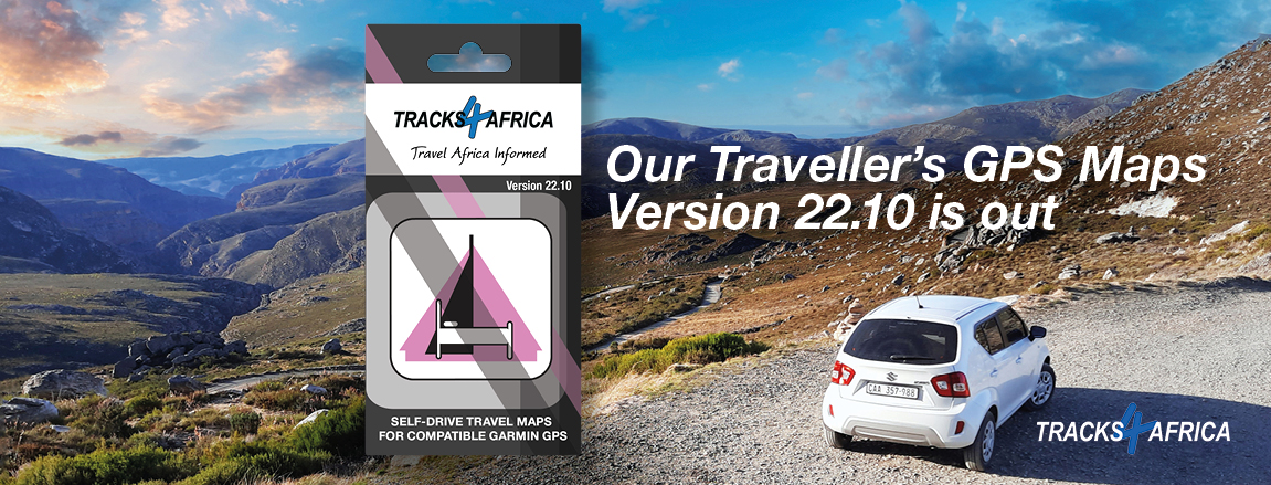
Overlanders trust our GPS maps to guide them across Africa. Now GPS Maps version 22.10 brings you the latest tracks and points of interest.
Our map coverage of Africa continues to grow and twice a year we update our GPS maps. Traveller’s Africa GPS Maps version 22.10 has just been released. Like all our maps, the latest version is based on first-hand traveller data and brings you updated roads, points of interest (POIs) and places to stay.
Our expert mapping team processed 267 data submissions for version 22.10. A thank you to all the overlanders who also contributed their tracks so we could add new roads and POIs. Data submissions also improve the overall quality of data by enabling us to confirm or correct entries.
What’s new in GPS Maps version 22.10?
This release benefits from a focus on fuel stops for countries like Botswana, Namibia, Malawi and Zimbabwe. We’ve also been working on creating detailed paper maps of South Africa’s southern coastline. As part of this project we imported farm names and boundaries into our South African data set. This has caused a big bump in POIs (41.5% increase from previous version).
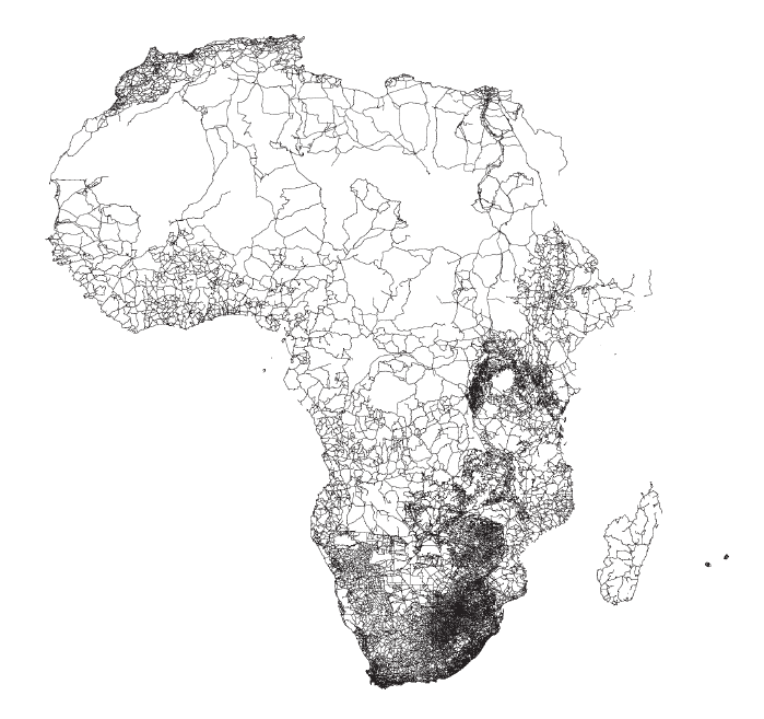
Map coverage
1,398,755km of fully navigable roads (1.2% increase from v22.05)
257,595 points of interest
2,592 protected areas
17,797 accommodation listings (1% increase from v22.05)
4,628 campsites (1.5% increase from v22.05)
8,264 places to eat or drink (5.5% increase from v22.05)
15,280 fuel stops (4.4% increase from v22.05)
Change log
- Updated fuel stop data
- Farm boundaries and farm names
- Street-level data for Zimbabwean towns: Kwekwe, Banket, Bindwa, Norton, Gweru, Chegutu, Chinoyi, Plumtree, Figtree
- East Africa road surface updates and new roads
- Names of mountain ranges
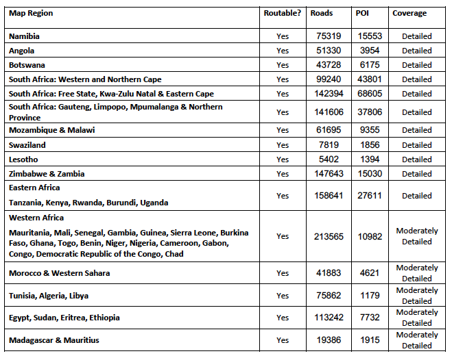
Coverage per map region
Getting GPS Maps on SD Card
To make it even easier for you to hit the road, we offer our GPS Maps package preloaded on an SD card. Simply plug it into your Garmin GPS device and you’re ready to navigate. The SD card is compatible with most map-capable Garmin units and has been tested with the latest Drive models.
The SD card is not compatible with:
- iGo in-car navigation systems
- Android devices
- iOS devices
You will also get installation files for PC and Mac, so you can install the maps on your computer for trip planning. This moreover enables you to transfer maps to older Garmin units like the 276c, 76csx and previous generation eTrex.
If you need guidance on how to use the SD Card with your computer, take a look at our video guides listed below.
Installing Tracks4Africa GPS Maps from an SD Card:

I have T4A map set on my Ford Wildtrack, how do uodate to latest map set?
Please contact your Ford dealership about updating your map set. This is a Ford factory-fitted navigation system that can only be supplied and serviced by a Ford dealership – not by Tracks4Africa. We supply our data to Ford via their navigation service providers and they determine on which vehicles it is installed as well as when it will be launched and updated.