Want to explore the Southern Cape along the most scenic drives and find charming spots to visit? Our new Cape to Addo touring maps put you in the driver’s seat for an unforgettable road trip.
Summer holidays are beckoning and we have just the thing to make them memorable. Our new Cape to Addo touring maps are ideal for road tripping this beautiful stretch of South Africa. Compact enough for easy use, but detailed enough to unlock new discoveries, these maps will have you itching to hit the road.
We asked Johann Groenewald, who heads up Tracks4Africa, to tell us more about the touring maps.
What prompted this focus on the Southern Cape?
The region stretching from Cape Town to Addo Elephant National Park is extremely popular with tourists. There are so many areas to focus on as a visitor: the Cape Peninsula, the Winelands, Route 62, Baviaanskloof, etc. And whether you make your way along the Garden Route or through the Klein Karoo, there are incredible routes. It is a map series that really covers a wide variety of landscapes and activities, and we think the touring maps will appeal to many different tastes.
This is also our first attempt at such a map and the familiarity of the region for us as staff made it more manageable as a first project of this nature. Once we understand the ‘recipe’, it becomes easier to plan how we approach a future project.
What are the touring maps like?
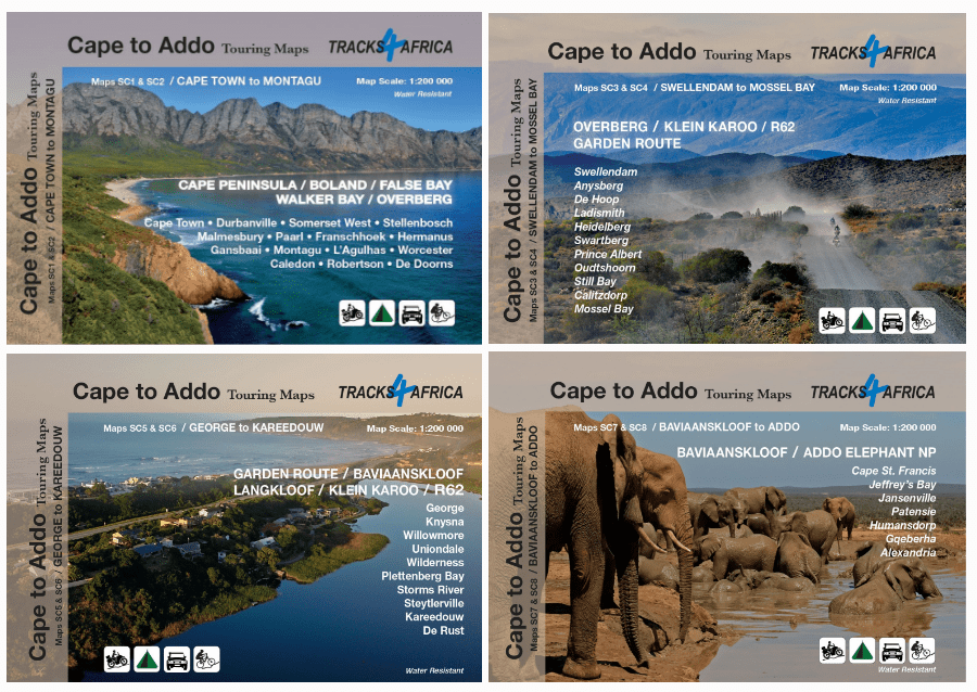
We have created eight highly detailed maps that focus on sections of the Southern Cape in turn. For the touring maps we use paper of A1 size (610mm x 880mm), with one map on each side. That means there are four entries in this map series: Cape Town to Montagu; Swellendam to Mossel Bay; George to Kareedouw; and Baviaanskloof to Addo.
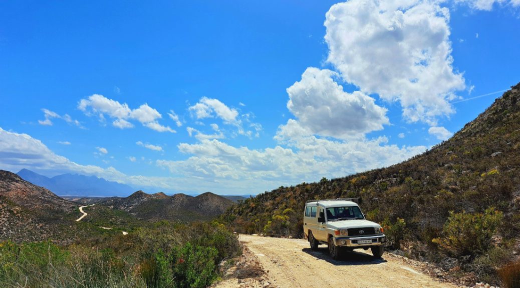
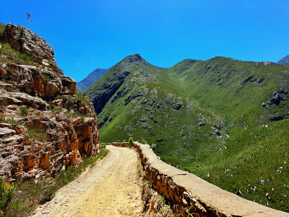
These maps are intended for overlanding, road trips or scenic day drives, whether in a sedan or 4×4, or on a motorbike or regular bike. To make the most of the journey, the maps highlight mountain passes and scenic route options. They really do cover the Southern Cape in a lot of detail! Since our focus is on road tripping, expect information on attractions, protected areas, activities, beaches, wineries, etc.
What can users expect from the individual maps?
Perfect for day trips to wine country, whale watching along the coast and discovering farm stalls in the interior. Take back roads to get a different perspective on popular destinations in the Winelands and Overberg.
This area is road trip heaven, with hidden gems and stunning scenery. Highlights include the famous R62, several gravel passes and quirky Karoo towns.
The coastline and verdant hills of the Garden Route make this area a tourist magnet but there are lesser-known gems like the Langkloof Valley waiting to be explored.
Although the national park is the main attraction, adventurous travellers will find plenty to enjoy, particularly the eastern parts of the Baviaanskloof.
The touring maps are available as individual sets or as a bundle.
What sets the touring maps apart from other Tracks4Africa maps?
The touring maps are a new type of map for us. Our Atlas and country paper maps are done at a certain scale to cover large areas. The country fold-out maps are at 1:1million scale whereas the Atlas allows us to add 1:500k scale cartography. But the new touring maps go far beyond this. We worked on 1:200k scale, which allows for a lot of detail on the map.
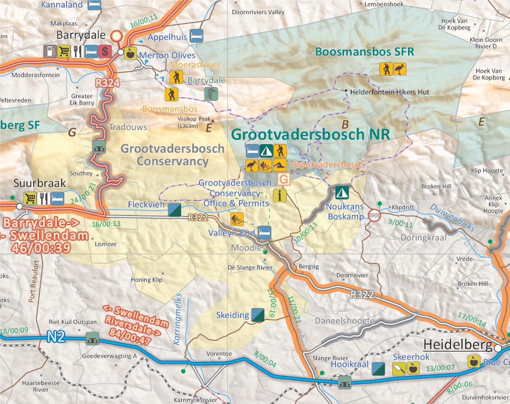
In the background we included relief data and farm boundaries. We added more points of interest, minor gravel roads and hiking trails, and indicated routes that are particularly beautiful. We even had space to insert travel tips here and there. It’s all about what matters to self-drive tourists.
We printed on Duraflex, which is a tear and water-resistant paper, plus the sizing is more manageable. These maps will easily fit into a glove box compartment or even the tank bag of an adventure bike.
Are there specific features that make life easier?
The road network is classified into the major paved and unpaved road types as well as roads where we feel 4WD would be required. This allows you to plan accordingly. Passes are highlighted in grey and scenic routes, which we think are really worth a detour, in orange.
As with all our other printed maps, the touring maps indicate driving times along the roads. This allows you to calculate how much time detours could add to a straightforward itinerary.
We also show where locked gates and permanent road closures are located, saving you the trouble of having to turn around on a road that used to be a public way.
Campsites and accommodation, together with other services, are indicated in great detail. For protected areas we also included icons that indicate the activities on offer.
What went into producing these maps?
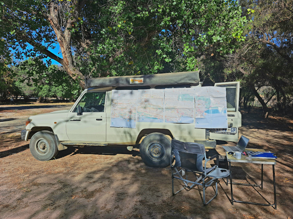
A map like this starts out with our existing data: Tracks4Africa already had a lot of the underlying data on our digital database. From here we started a new desktop study coupled with on-the-ground research. There is a team of people in the office who verified and updated content mostly related to accommodation, services, and activities.
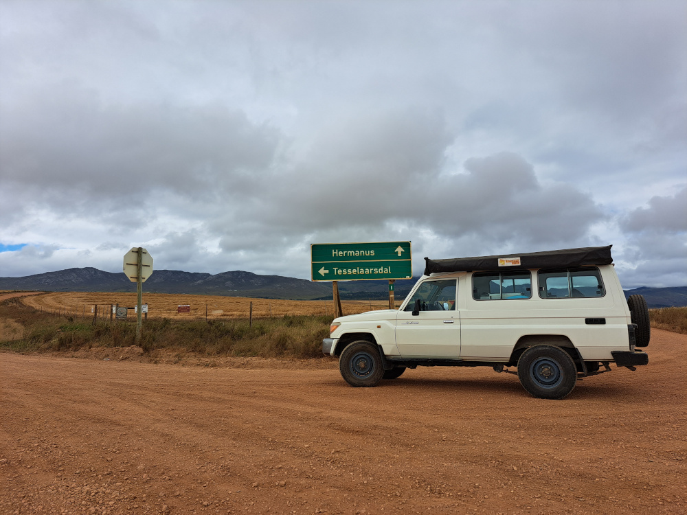
Then one of our team took to the road with a draft map to verify findings on the ground. We checked out road closures, attractions along the way and routes that we consider to be scenic. We also talked to locals in the tourism business to better understand the lay of the land.
It always surprises me to see how much you miss out on if you do not visit a place. You would expect this area to be very well represented on the internet, and it is to a certain extent. But there is always more to discover on the ground.
Who would get most use from the touring maps?
The Southern Cape as a tourist destination appeals to a wide range of travellers. This map series would support any traveller who takes to the roads in their own vehicle. This could range from day trippers out of Cape Town or whale watchers along the coast to hardcore adventure bikers who tackle the gravel roads of the Klein Karoo. The touring maps would be equally handy for someone who does the Cape Town to Garden Route and Route 62 trips, even if they just stay on the main roads.
Will you be doing similar maps for other parts of the country or continent in future?
Well, as you know, we have purchased the Slingsby Map business and now have so many more map titles, including touring maps. We will definitely expand the range and merge the Slingsby and Tracks4Africa map styles to get the best of both into these specialised touring maps. There is already a lot of enthusiasm for a greater Karoo map series.
We have appointed a seasoned cartographer to focus on touring maps, so we are creating the capacity to do so. Feedback from our clients will obviously influence how we approach this in future, but we have learned from the Slingsby Maps that there is always a market for well-researched and hand-crafted maps.
Also read: The art of mapmaking
Get the Cape to Addo map series to make the most of journeys in the Southern Cape. These touring maps are highly detailed and well researched, perfect for both trip planning and navigating. The maps are available in a bundle, at a saving of 20%, or individually. Shop Cape Town to Montagu, Swellendam to Mossel Bay, George to Kareedouw and Baviaanskloof to Addo now.
