Rudi de Lange, Tracks4Africa’s cartographer, offers a window into mapmaking and what sets Tracks4Africa’s paper maps apart.
How did you become a mapmaker?
I’ve always been drawn to physical geography, especially to large format maps depicting landscape and explaining geomorphology. The latter is the study of earth’s relief features, their origins and development – basically trying to understand the processes behind landforms.
I grew up in a house filled with geography books and maps: my dad taught Geography and his dad was a hobbyist map collector. I guess maps are in my blood. That said, I only started my mapmaking career in 2008 when I was in my mid-thirties. However, geography always played a central part in my work (and play), so it was simply a natural progression. It led me to try my hand at creating one of my favourite things in the world: a well-crafted physical map. I am fortunate that my work is also my main interest.
What does your role as cartographer for Tracks4Africa involve?
Mapmaking at Tracks4Africa begins with the T4A community: overlanders collect and submit field data and information. The T4A GIS team then verifies and captures this data in a centralised database. The T4A database is unique in that it reflects where people travel and contains a wealth of detail for the self-drive traveller.
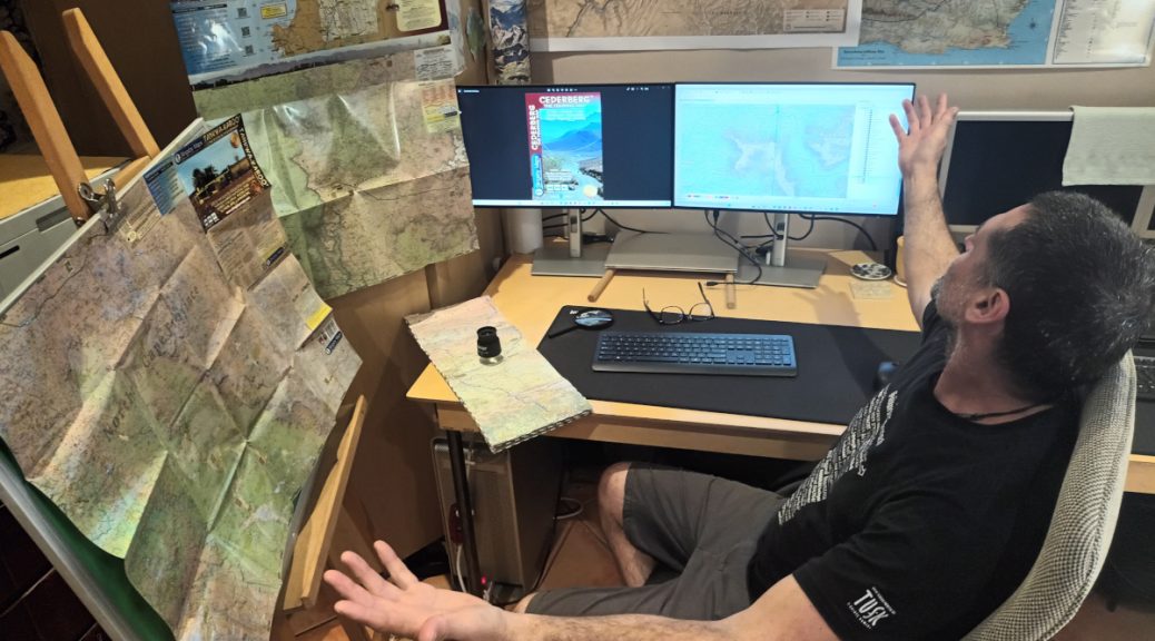
It is my job to use this extensive Africa dataset to create maps of the main tourist areas in various printed formats. These paper maps can be used as standalone products or as companions to T4A’s digital mapping tools (GPS maps and Guide App).
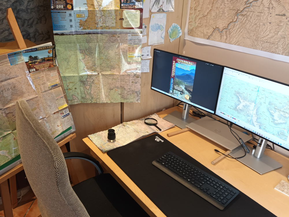
I begin by importing T4A data into GIS software such as ArcMap or QGIS to get my ducks in a row. Afterwards, I export the data into a design program, mostly Illustrator or InDesign, to give the map an aesthetic appeal and a polished feel.
Tracks4Africa lends a cartographer with interests such as mine a unique opportunity to create functional, reliable and aesthetically pleasing maps. We have amazing, ever growing, geodata of the entire African continent. Our maps are made for and used by people who have a keen interest in the natural world and exploring it.
Also read: How to contribute to Tracks4Africa maps
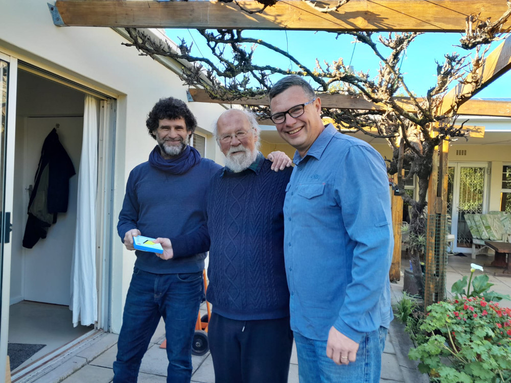
In July 2023, Tracks4Africa took over the Slingsby Maps portfolio. Peter and Maggie Slingsby, whose iconic maps of the Western and Eastern Cape’s hiking and touring areas guided and enriched many a traveller’s journey, had decided to retire. Personally, I consider Peter’s maps (and Peter himself) a national treasure. I am delighted, honoured and humbled to carry on with his maps. These are big shoes to fill. We intend to keep with Peter’s time-proven style and content and hope not to disappoint either Peter or Slingsby Maps enthusiasts.
Time will tell, but we will try our best.
What makes a good map?
A good map is at the same time a useful navigation tool and a portrayal of the lay of the land. In other words, it not only shows the road network and points of interest for route planning and the practical matter of getting around. It’s also a visualisation of the terrain, reflecting the physical landscape in relief and features.
Errors, omissions, clashes and outdated info on a map are just some elements of our trade to keep a diligent eye on. Checking each other’s work plays a big part in avoiding this.
Printing on good quality, durable paper is essential if you want to use the map in the field or more than once. Standard paper simply isn’t good enough. Tracks4Africa paper maps are printed on Polyart or Duraflex paper, which stands up to water and grease, and resists tearing. So you can use our maps again and again and they won’t fall apart. We’ve even received pictures of travellers using their T4A maps as sun visors or protection in light rain.
When a map has a certain aesthetic appeal or significance to the end user, people will want to return to it. If it is deemed fit for their wall or a permanent place in their backpack or glovebox, you can be certain that it is a good map.
Tell us a bit more about this year’s cartographer’s conference you attended.
The International Cartographic Association (ICA) promotes the disciplines and professions of cartography and GIScience (geographic information science). The International Cartographic Conference (ICC) takes place every second year in one of the member countries. The 31st Conference was held in Cape Town during August this year. The last time South Africa hosted this event was in 2003. It is quite a big deal and a rare opportunity to discuss maps (in person) with cartographers from all over the world.
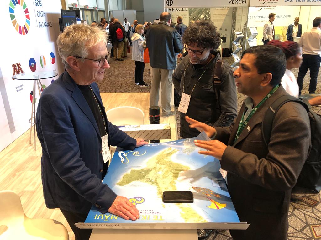
The Conference included an exhibition for print maps: entries were many and interest was substantial. It was interesting to observe how digital mapmakers flocked to this exhibit. Print is certainly alive and well.
All in all, it was a highlight for me to see how much interest there currently is in maps. We live in the golden age of mapmaking. Never before have we had access to so much geodata and powerful cartographic software. Never before have there been so many people travelling and never before has there been more interest in maps. It was also clear that Southern Africa is on many travellers’ self-drive bucket-list. With South Africa the obvious southern gateway to the continent, Tracks4Africa is well positioned in the industry. We have the ability to create all the navigational tools needed for overland journeys.
Is the skill of map reading still relevant in the digital age?
I don’t think the ability to read or understand a map is important per se. But for someone travelling through a new environment, being able to orientate themself within that space is important. A large format paper map gives you an overall sense of the lie of the land. It offers a type of geographical understanding which you can apply when choosing a route or area to visit. Being able to navigate through that landscape by means of a good old paper map is very rewarding. Not to mention the gratification of reliving that journey in the comfort of an armchair, map in hand.

Interesting article, in 1972 I worked for AOC (aircraft operating company) and mapped many parts of the country, today it is so advanced . We used photos taken by air and travelled into the area to survey the elevations detail to be captured via “photogrammetry “
My use of Tracks for Africa today is an absolute breeze.
Thank you.
What an interesting window into how you conducted mapping. Thanks for sharing!
Thank you for the interesting background to your maps! I am relatively new to T4A maps, but found the T4A Namibia map, together with the phone app, 100% for a 3 week off the beaten track trip in May. Actually worked better than my friends’ GPS’s. The orientation aspect and feel for the big picture is, as Rudi says, for me, essential. Small GPS screens just don’t do it for me.
Two comments though:
The river names on the SA map are a bit scarce.
The lack of spot heights on mountains and hills detract from the map (both Namibia and SA), making it less informative. If you look at eg the AA South Arican Book of the Road 1993 (giving my age away) you will see very good spot height information and it should be easy(?) for these to be added. When I drive past a mountain I want to know how high it is as it adds to the sense of “feel of the land” that a good map gives me.
Perhaps these aspects can be brought into new editions?
Appreciate your input, Hannes. We are continually finetuning Tracks4Africa maps, so good to have these suggestions – will refer to the mapping team.
I support T4A and have contributed. I tracked all routes in Dinokeng Nature Reserve which was then in clouded in Garmap as well as T4A. Keep up the good work, us golden oldies can make a difference
Thank you for contributing to the maps, Johann!