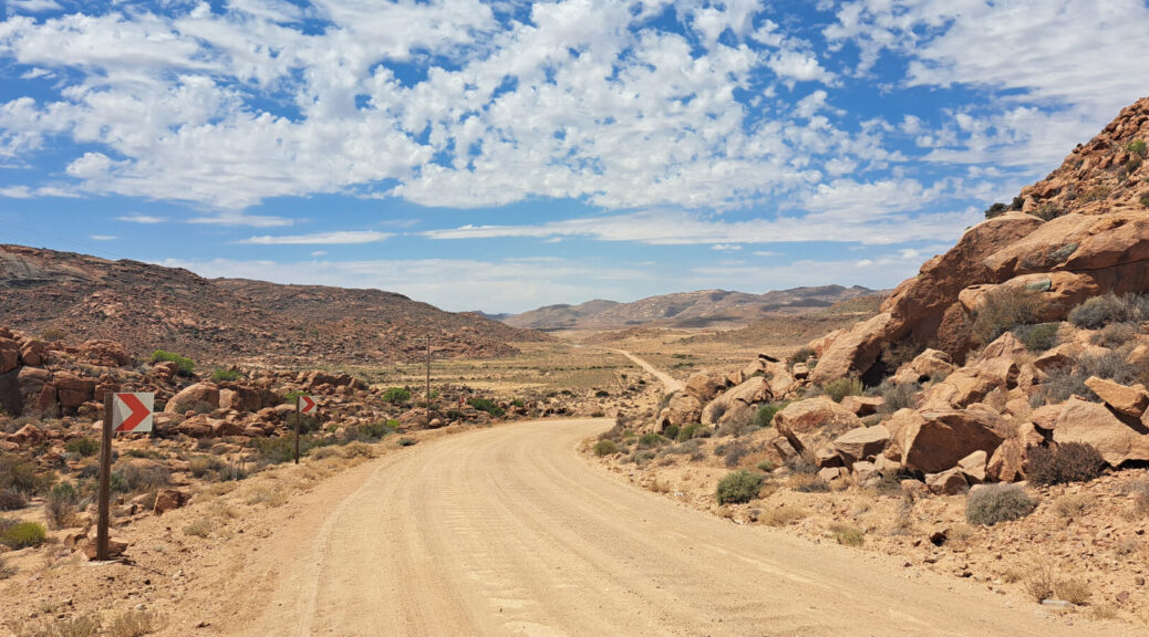
As part of the ground-truthing for the new Namaqualand Touring Map, Lizette Swart criss-crossed the area. She shares the top moments from her time in the field, along with travel advice for overlanders looking to explore Namaqualand.
The newly released Namaqualand Touring Map isn’t just a route indicator. It’s a window onto the landscape, the road conditions and the places that make a visit memorable. Spend a little time with the map and you’ll make the type of discoveries guaranteed to upgrade your trip. There are picnic spots where you can break the journey and viewpoints where you can snap a breathtaking panoramic. You will learn where you need high clearance and where to deflate your tyres ahead of tackling sand. Plus you will find farm stalls, places to spend the night and even secret swimming spots. That’s down to our on-the-ground field research conducted before the map even started taking shape.
Lizette Swart, who carried out one of the research trips, recalls her experience and reveals what travellers shouldn’t miss.
What did your research trip for the Namaqualand Touring Map involve?
I spent three weeks criss-crossing the area, covering over 4,000km on my trip. I marked up drifts and river crossings, road conditions and spots where travellers need to take care. If I came across interesting places – nice farm stalls, great campsites, good birding spots or game viewing areas – they went on the map. I also had to carry out verification of places that provide traveller services such as fuel, food and lodging.
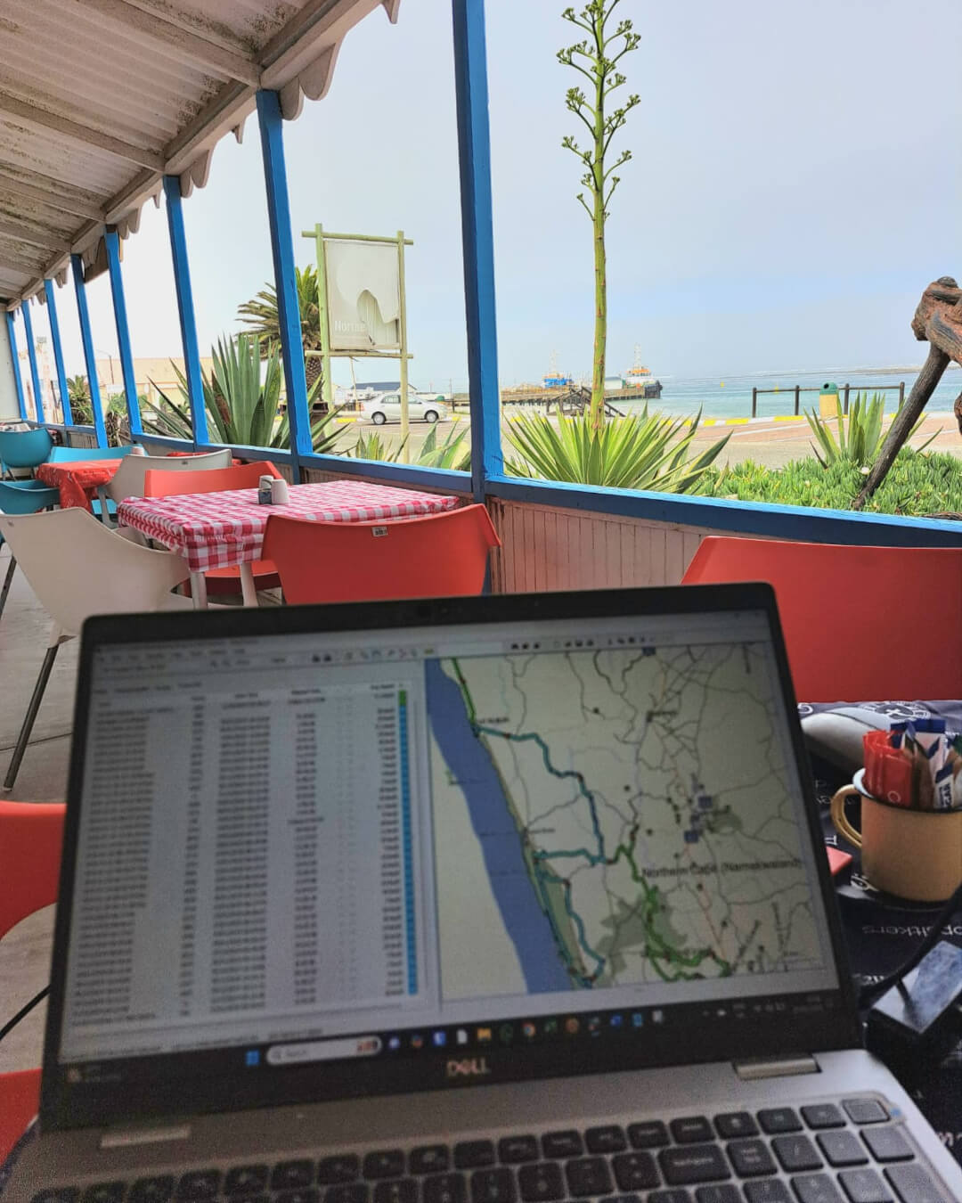
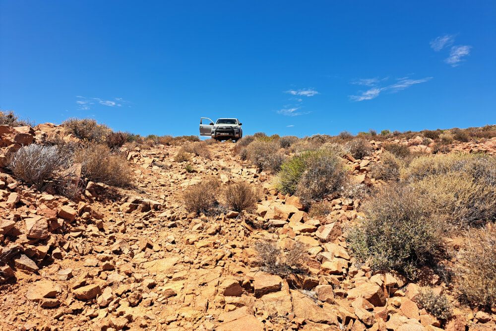
A map such as this is a team effort. Before I got on the road, our research team combed through existing data to confirm services and contact details. Then they drew up a list of places I had to visit to verify their existence. Using the Tracks4Africa Online Trip Planner, I plotted these points on the map. I’d also received tips about interesting places from other travellers and forums. There was a lot to investigate, and when I came back, lots for the rest of the team to work through. The GIS experts had to process all the tracks and road conditions I submitted, while the research team had to add points of interest to the database.
What were highlights for you?
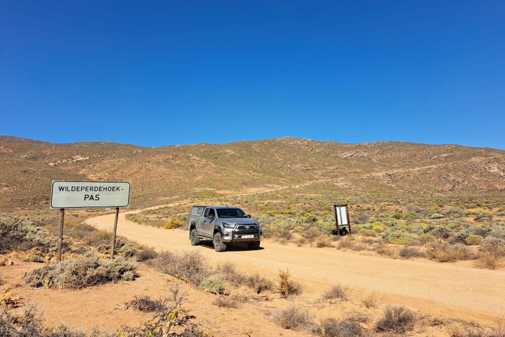
Driving over Wildeperdehoek Pass is something I do each time I go to Namaqualand. It forms part of the Caracal Eco Route, which winds through Namaqua National Park, and gives you a view of seemingly endless grassy flatlands. But don’t miss Killian’s Pass either, while the views from Spektakel Pass all the way down to the coast are truly, well, spectacular!

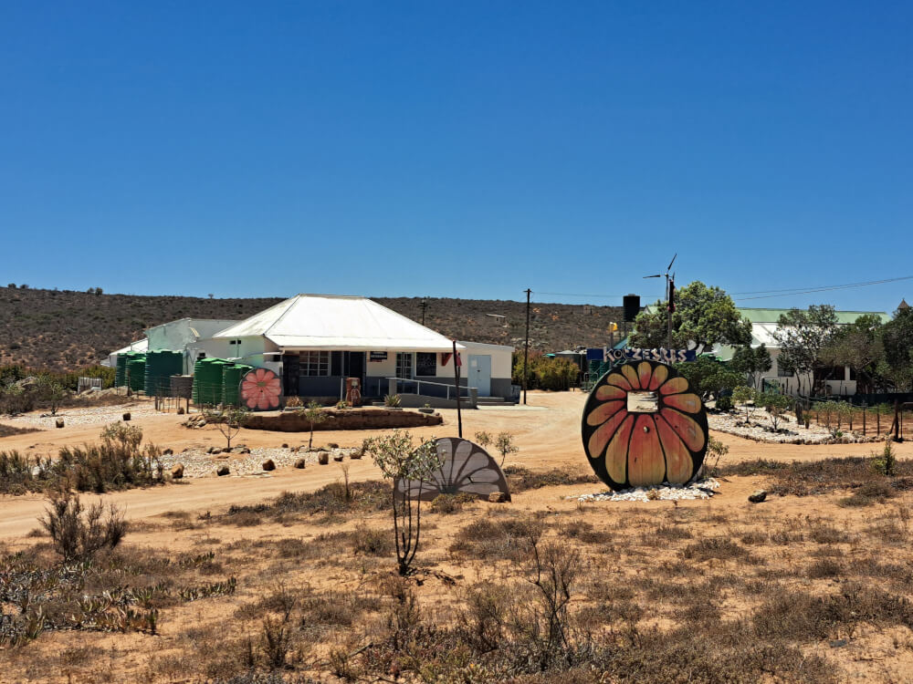
Stumbling upon Rissibiekie restaurant and farmstall in Kotzesrus was a treat. Aside from the great food, there’s beautiful art, local crafts and homemade goodies. Another favourite is The Boyz Coffee Shop in Koiingnaas – try the milktart! Pre-order their pies to take home, they don’t bake every day.
Dipping my feet in the hot spring at Kookfontein was revitalising. Tracks4Africa’s Johann Groenewald even had a swim there on his trip.
Also read: Riding the roof of Namaqualand
The Shipwreck 4×4 trail with Dudley Wessels is highly recommended. It leads between Kleinzee and Koiingnaas and is your only way to experience this remote stretch of coastline where they used to mine diamonds.
Meeting oom Gert Engelbrecht, or Gert Sarrisam as he’s known, was like a living history encounter. Known by the name of the farm where he was born and still lives, he’s written five Afrikaans books about life in Namaqualand. There’s a small museum on his farm that can be visited by arrangement – contact his wife, Hestelle, on 073 669 1103, to arrange.
The friendliness and helpfulness of the Namaqualanders stood out for me. As did their sense of humour!
What should overlanders know before exploring Namaqualand?
- You’ll be spending a lot of time on gravel roads, some good and some not so good, depending on rainfall and when the grader is due. If the road is badly corrugated, it will help to deflate your tyres by 10–20% from the usual pressure indicated for tar. Even though there are some proper, challenging 4×4 routes, the main roads are easily doable in a high clearance vehicle or high range 4WD.
- If you take the back roads, you are going to open and close a lot of gates – it helps to have enthusiastic kids in the vehicle. Know how to handle farm gates i.e. leave open if found open, closed if found closed.
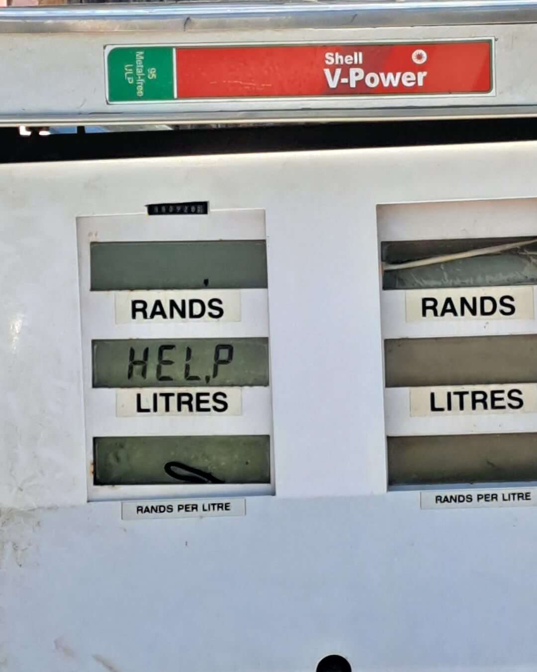
- Fuel stops are further apart than you might be used to, so plan your route accordingly. Use the Tracks4Africa Online Trip Planner – toggle the fuel button to see where you can find a service station. On the road, the Tracks4Africa Guide App offers you the same functionality. Always fill up when you can.

Any tips to make life easier for travellers?
- Every town has a small shop. Although they may not carry a huge variety, you can usually stock up on dry goods such as bread, oil, rice, flour, sugar and toiletries. The meat selection is typically limited to frozen, while fresh fruit and veg depends on what is in season. In most places there is a small liquor store if you run low! Try and support local vendors rather than buying everything in the supermarket at home. I was impressed with how well the Namaqualanders get on without supermarkets and large malls.
- A good way to be assured of reliable service providers is to check the Namaqua Coastal Route website or to follow them on Facebook. The association was a great help in putting together this map and they have information centres in Port Nolloth, Koiingnaas, and Kleinzee. The tourist information centres in Kamieskroon, Garies and Nieuwoudtville can also assist.
- Many campsites don’t have electricity, so if you don’t have solar panels and need to charge things, enquire when you book.
With flower season already in swing, what are the sights and experiences you would recommend?
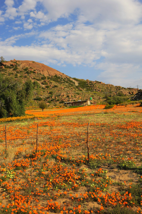
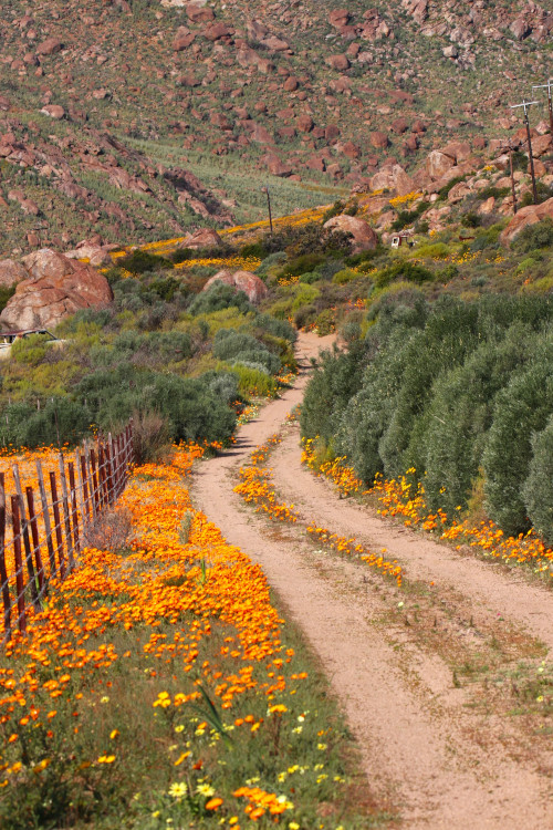
Places like Nieuwoudtville, Kamieskroon and the Skilpad section of Namaqua NP are known for their carpets of flowers, but there are so many passes to drive! In 2025, I drove from Wildeperdehoek Pass to Soebatsfontein and then east over Killian’s and Grootvlei passes. It took forever, because I stopped so often for photographs. The new Namaqualand Touring Map highlights mountain passes in grey, plus it points you to worthwhile routes with special symbols. Daisies for productive flower areas, a smiley face for lekker drives.
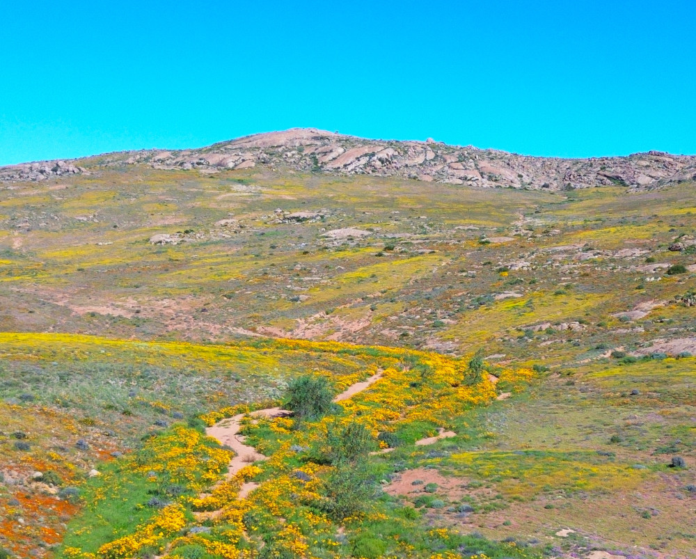
The Caracal Eco Route in the park, which leads past several interesting points and historical places, is clearly marked on the new map. It’s a moderate drive, not a tough 4×4 challenge – it’s more about sights and scenery. Allow all day to do it. You can get the trail booklet from park reception at either Skilpad or Groenrivier.
The monthly plaasmark at Die Kliphuis in Kamieskroon boasts fresh produce from the surrounding farms. Use the opportunity to check out historical attractions such as the ruins of Bowesdorp, where I saw the most amazing flowers last year. It is also astonishing to see how pretty flowers can be inside town around Bitterfontein and Kamieskroon.
Your initial research trip to Namaqualand took place outside flower season. What was that like?
No mistake, the flowers are spectacular! But it is almost as if they blind you to all the other attractions. Visiting the region in the off season was a complete eye-opener as to how much there is to see and do.
I love the simplicity of Namaqualand’s off-grid coastal campsites – when I visited in late summer (out of school holidays), I was often the only person there. (Also read: Coastal camping for the wild at heart) There are also so many day hikes along the coast or try a multiday trail, like the slackpacking Namaqua Camino or the guided, catered Namaqua Silver Sands Trail. Hondeklip Bay, with its Spitfireklip, Dog Stone and shipwreck, remains a firm favourite with travellers. Don’t miss the fish ’n’ chips at Sam’s Restaurant or crayfish from Die Rooi Spinnekop or Dop & Kreef.
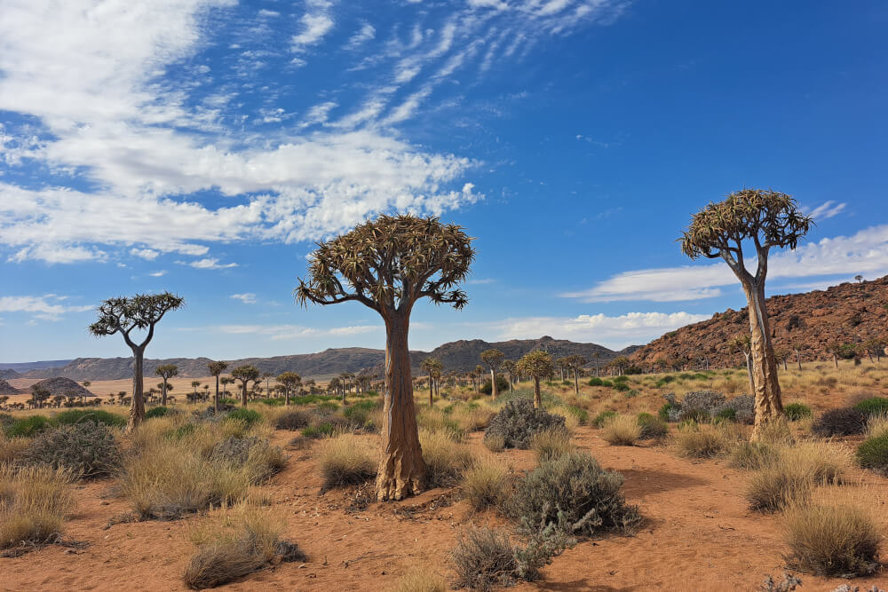
The area around Okiep and Concordia rewards with its mining history and Orbicule Hill, a rare geological phenomenon. The quiver tree forest near Pedroskloof is awesome and in Goegap Nature Reserve, even once the flowers have faded, the succulent display and 4×4 are worth a visit.
There’s guided slackpacking in Schaap River Canyon, while history buffs will enjoy Die Messelpad, a pass built by prisoners – you can see the abandoned jail along the road. There are many raptors in these parts, I even saw an eagle-owl in broad daylight. You should also keep an eye out for the Namaqua speckled padloper, the world’s smallest tortoise.
Namaqualand is a place for adventurous travellers, those who love wide open spaces, spectacular stargazing, silence and solitude. I thoroughly enjoyed my three weeks exploring, seldom seeing another vehicle on the road.
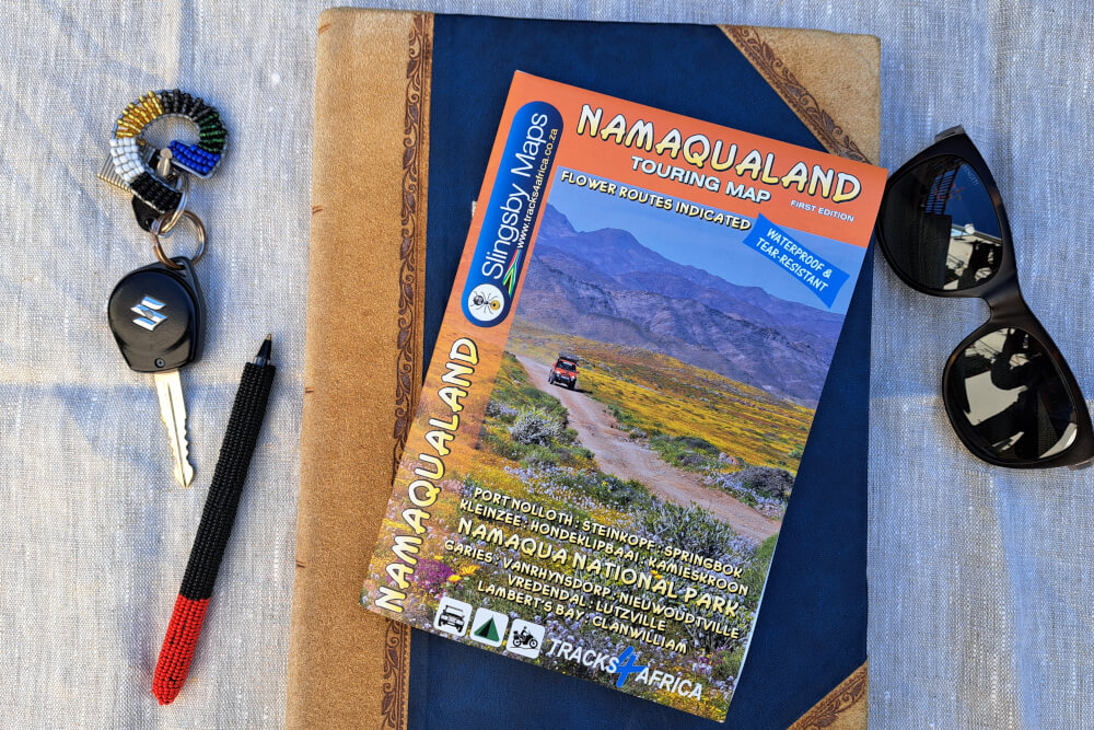 Get the Namaqualand Touring Map from our online shop, at leading bookstores and outdoor shops (check with your store if it is stocked) or NCR information offices.
