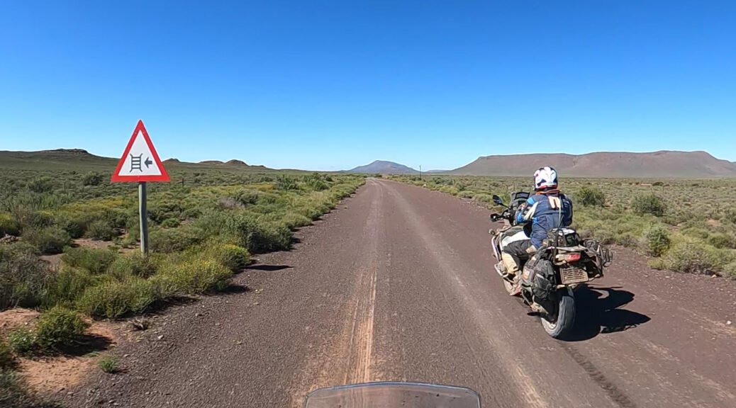
Between Johannesburg and the Cape lie many kilometres of farmland, remote villages and, of course, gravel roads. Would it be possible to stitch them together to avoid tar completely? By Willem Rudolph
Two days into our North-South gravel trip, we were physically beaten. We had set off from Johannesburg on 3 April with the goal of riding our adventure bikes to the Cape. (And that was just the first leg. We were also going to ride back on gravel to form what I call the Southern Arc Ride.)
But by the end of day 2, our bodies were feeling it. My mind was racing, thinking about all the gravel roads still to come, wondering how we would do it. Fortunately, nothing that a blister pack of anti-inflammatories couldn’t sort out.
Plotting the route
A North-South gravel route had been on my bucket list for some time. Over the years, I’ve come across various suggestions for making the trip down to the Cape on dirt. But I found that most involved doing some distance on the N1. So I set myself the challenge of finding a way that doesn’t touch tar.
Initially, I aimed for Cape Town. I got as far as Ceres on magnificent dirt on the map, but then the options ran out. When I switched the destination to Africa’s southernmost tip, Cape Agulhas, things fell in place. Today, I can confidently say that I can build a route that is 100% gravel. It would probably be around 2,500km as you’d need to meander. And with adventure bikes, you’d require a support vehicle to provide fuel in some really remote places.
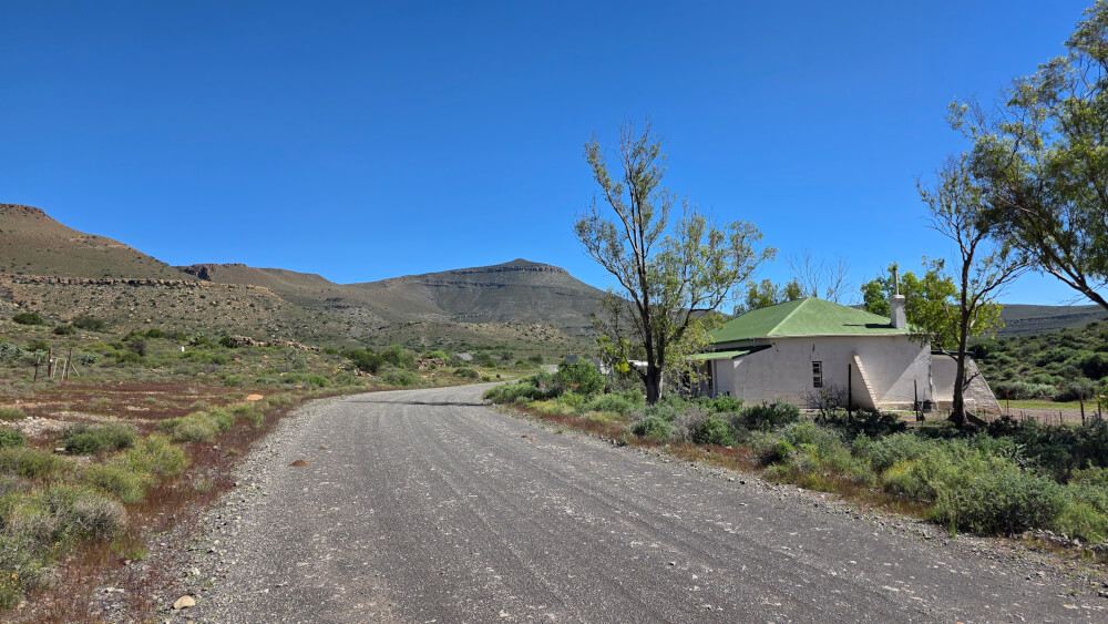
For our April 2026 trip, we didn’t manage to avoid tar entirely since I didn’t have unlimited time. I settled on a route of over 1,800km that ran to 92% gravel and got us to the Cape in five days. Riding with me was my wingman, Garth Edwards. Although we completed the route on adventure bikes, the majority of it could be done in a 4×4.
Day 1: Randburg to Bloemhof (393km)
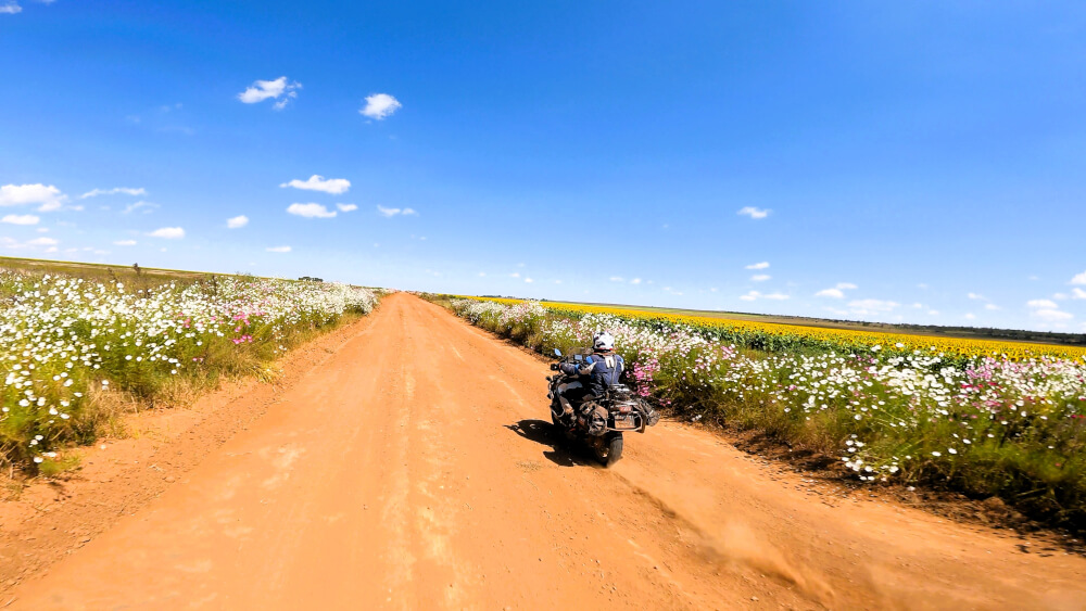
The best way to escape Johannesburg is to head out west, to Tarlton, and continue on a network of farm roads into the North-West Province. Although there are no impressive mountain ranges or thrilling passes on this stretch, we came upon masses of cosmos flowers. And then fields of sunflowers, which really brightened up our ride.
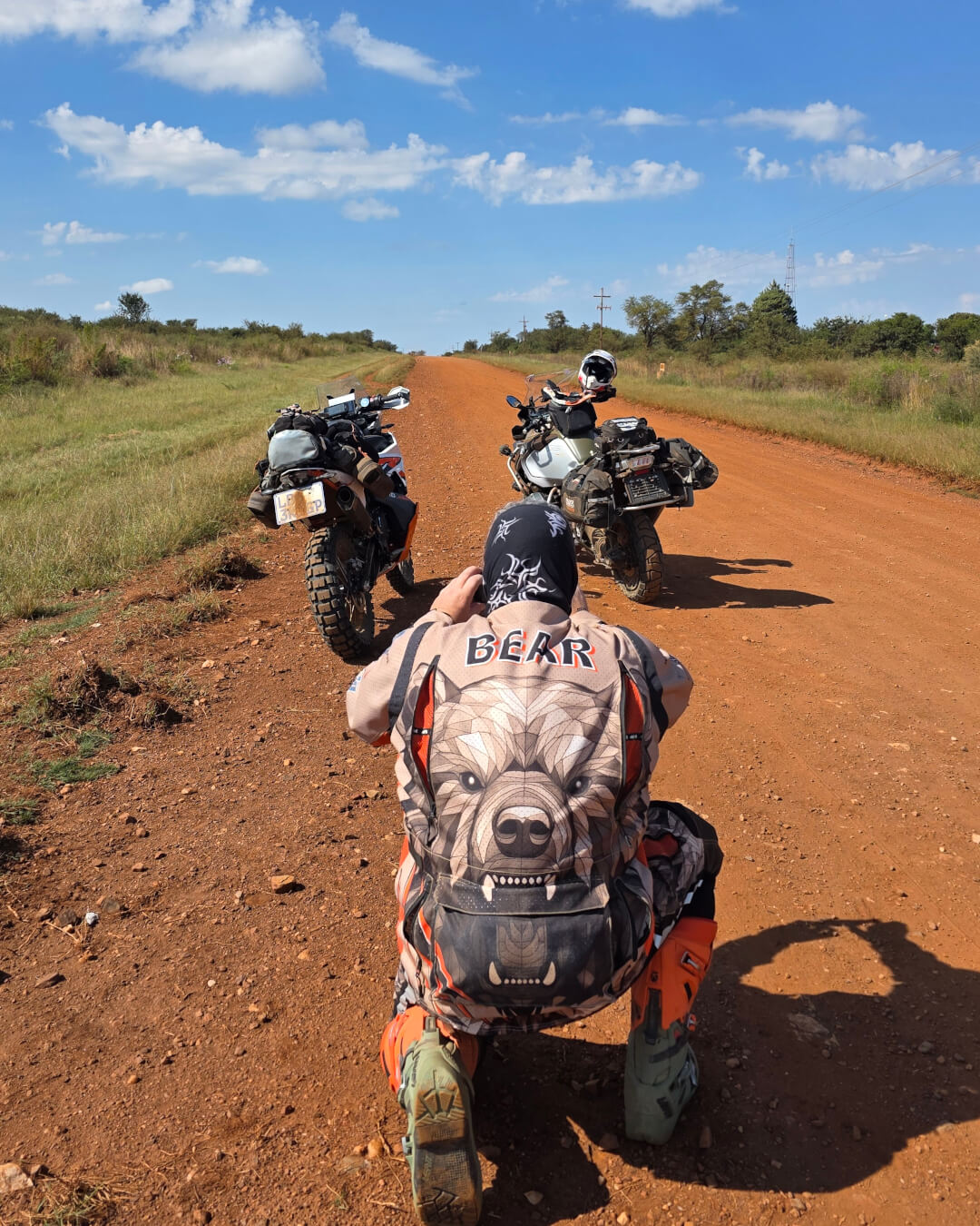
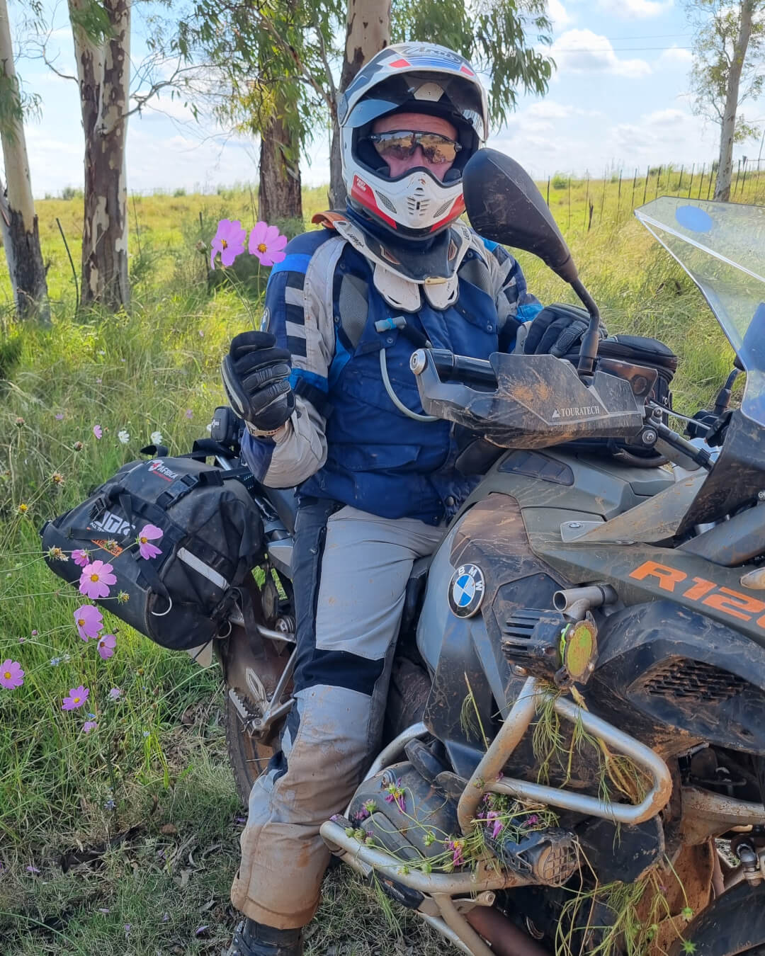
Our route towards Ventersdorp and then onwards to accommodation near the Bloemhof Dam, led past several game farms. At one point, we saw lions kept right next to the road, which kept us focused on continuing swiftly. They looked at us as if we were breakfast going by!
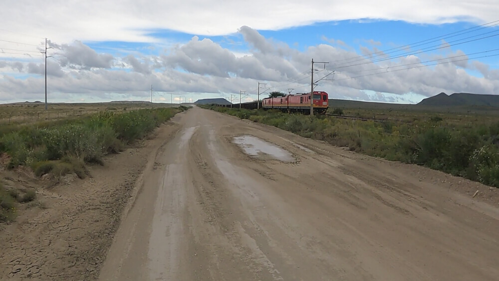
The gravel roads in these parts tend to be pleasant, but a few days before our trip, rain had come down and turned sections into a mud fest. We’d be riding along quite happily and then suddenly hit a 10m stretch of clay, which was treacherous. So there were a couple of spills.
By the time we got to Almar Exclusive Game Ranch, we were exhausted, not to mention battered and bruised. But the lodgings were fantastic and the hosting impeccable. That night we tucked into kudu and gemsbok, an amazing meal on a farm in the middle of the countryside.
Day 2: Bloemhof to Hopetown (311km)
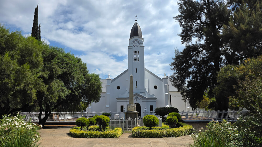
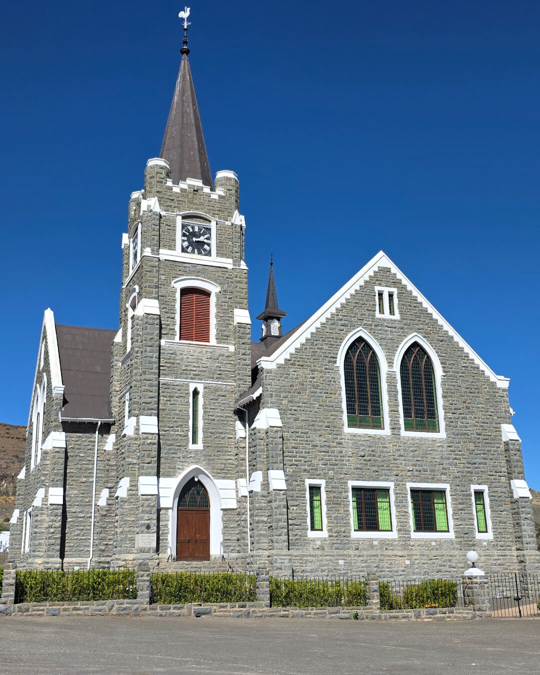
This day was all about the Free State’s vast plains and endless grasslands. We skirted Christiana and made our way past the small farming town of Boshoff, then on to Jacobsdal with its attractive church. The Free State’s dirt roads are ideal for clearing your head. The expansive landscape leads you on: a patch of mountains always seemed to remain on the horizon.
Although the gravel riding is great for adventure bikers, note that the conditions are weather dependent. I was grateful for my aggressive 80-20 tyres, because the rain had left sections of the track very muddy. But the rain had also brought out the tortoises and it was special to see them doggedly make their way.
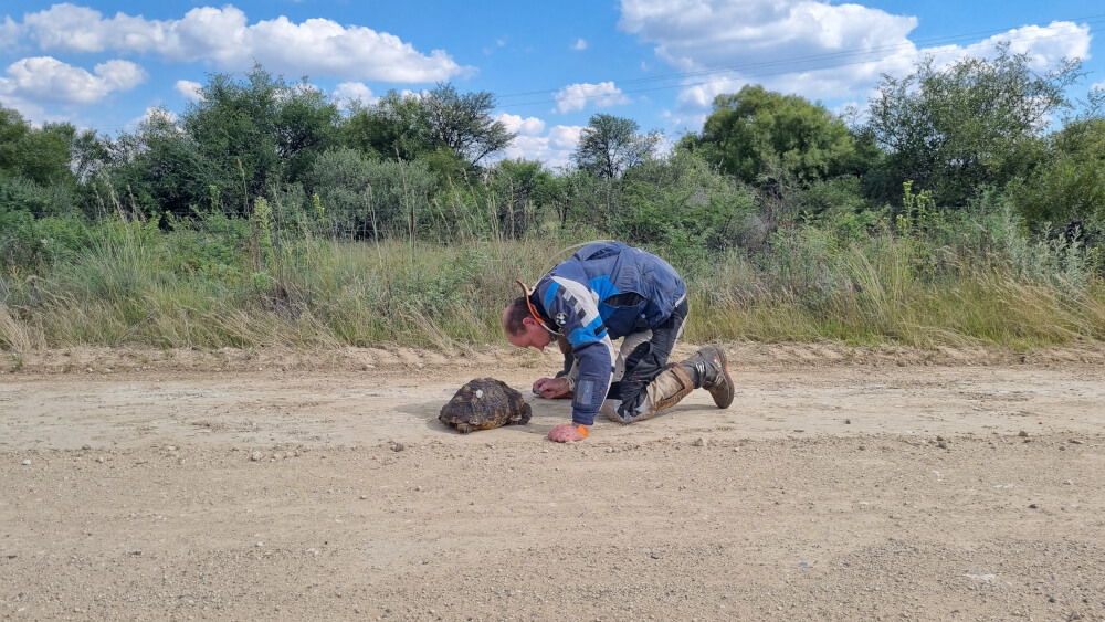
Despite their hardened shell, tortoises always seem so vulnerable to me. In the past, whenever I saw one crossing a road, I used to stop and carry it across. But then I learned that this can be stressful and cause the tortoise to urinate or empty its precious water storage. So now we just wait and allow the animal to safely cross.
Day 3: Hopetown to Loxton (404km)
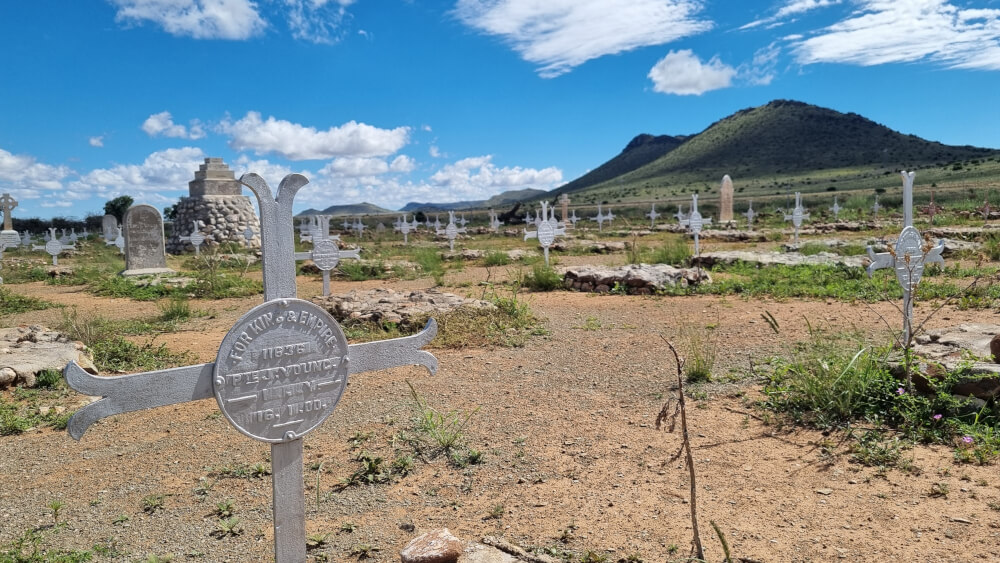
Since Garth was still hurting after a nasty fall, we agreed he would take tar to our next overnight stop. I had another companion on my gravel route: a weather system that kept following me. I was on my way to Doornbult Concentration Camp when it first caught up. I didn’t have time to get my rain suit on, so got absolutely drenched. I even had water in my boots. Fortunately, the airflow on the bike dried me off quickly. And I was happy to be riding the R388, a magnificent gravel road that runs to De Aar and beyond.
Tracks4Africa says: To visit Doornbult, pre-book a tour with Ruan Wiid on +27 (0)76 688 9023 or ruanwiid90@gmail.com.
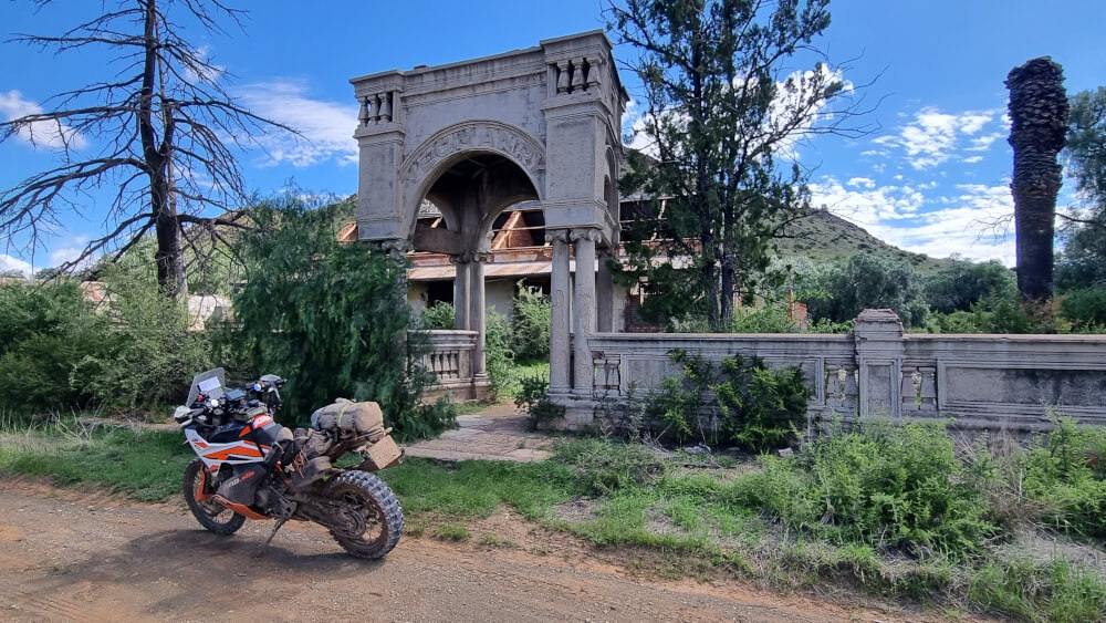
My next mission was to visit the ruins of the Deelfontein Yeomanry Hotel, a faded relic of the Anglo-Boer War that lies between De Aar and Richmond. Once upon a time there was a hospital here for British soldiers wounded in battle. Today it is a ghost town. While the R388 is a pleasure to ride and gets you most of the way, the road to Deelfontein itself is not maintained. I should have had my suspicions when a farmer who stopped for a chat just before the turnoff, wished me good luck when he heard my destination. The track was bumpy and overgrown, and I got bogged down in a swampy bit, which took me a good 20 minutes to get out of. But it was all worth it to stand in a place thick with history.
Careful on the dirt highways
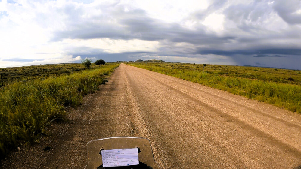
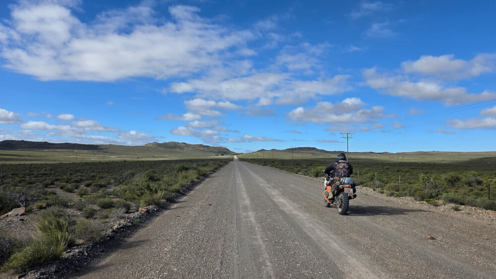
Riding through the Karoo after it had been freshly drenched with rain was a soulful experience. I could almost see the land responding to the water before my eyes. Add to that the fact that many of the gravel roads are like dirt highways and it meant I was in my element.
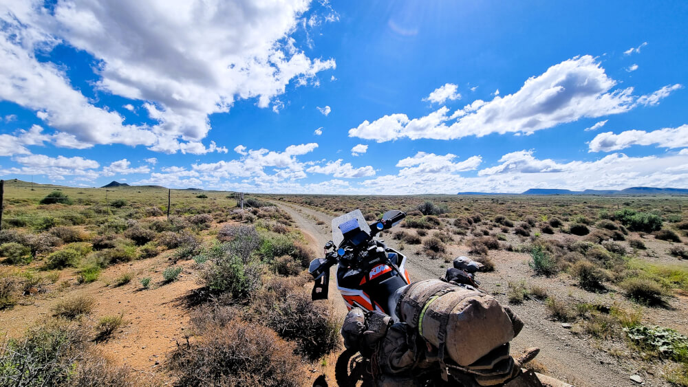
By the time I reached Victoria West, it was already drawing close to 15:00. The sky was overcast and moody as I aimed for Loxton. I don’t know if it was the weather conditions or the time of day, but a whole family of mongoose darted across the road in front of me. Then it happened again. And again. So there I was, on a beautiful flowing road, where I could quite happily have gone 100km/h, instead crawling along and constantly sounding my hooter.
Day 4: Loxton to Anysberg (366km)
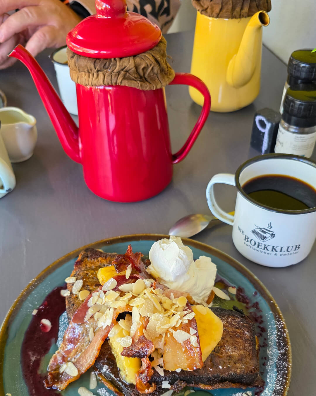
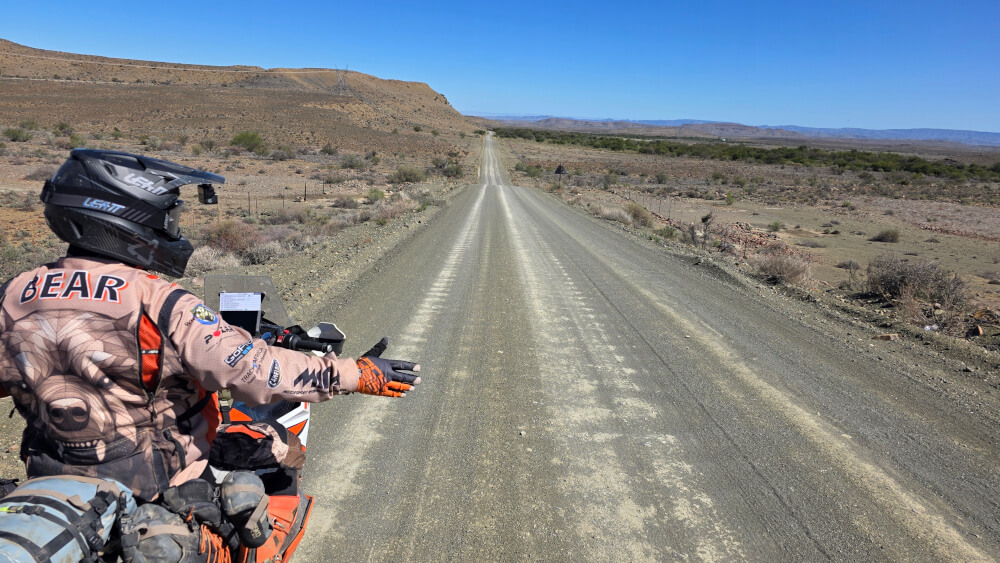
From Loxton, we continued south and past Fraserburg, rode through the Nuweveld Mountains. What an experience! It was probably the most challenging part of the route in terms of technical riding, with dry riverbeds, washouts and rocky track. But it was immensely rewarding and we felt like we’d earned our lunch at Die Boekklub in Merweville. This Karoo dorpie is a magical spot, with several dirt roads leading in and out of it. On the stretch south of Merweville, we hit some proper champagne gravel and soon Garth was just a small dot in the distance.
Flowing gravel roads took us to Laingsburg. There was a small bit of tar as we took the road into the Witteberg, but soon enough we turned onto a little dirt track. I had no idea what to expect of Varsbokkraal Pass and the scenery blew my mind. We spent the night at Waterval Karoo[MK1] , a secluded farm outside Anysberg Nature Reserve. Tucked away in the mountains, we found the silence almost deafening.
Day 5: Anysberg to Agulhas (386km)
Although I’d been to Anysberg before, this was my first time entering from the eastern side. Because of the rain, the road wasn’t in the best shape. We had to contend with rock-strewn river crossings and slippery patches of track, and the bikes washed out from under us a few times.
Making our way towards Montagu, we rode over Ouberg Pass. This is not to be confused with the one near Sutherland, which is phenomenal. But while this Ouberg Pass couldn’t compare, it did lead us on to Joubertspoort Pass. This strictly 4×4 route is only for experienced offroaders. At one point we questioned whether we should turn around, but the off-camber surface meant we couldn’t easily do so. We therefore pushed on and came up to a neck where we could see the Montagu valley spread out in front of us. It was a breathtaking moment.
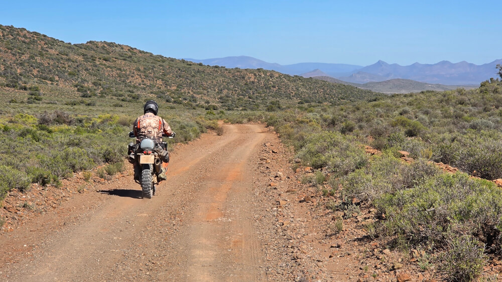
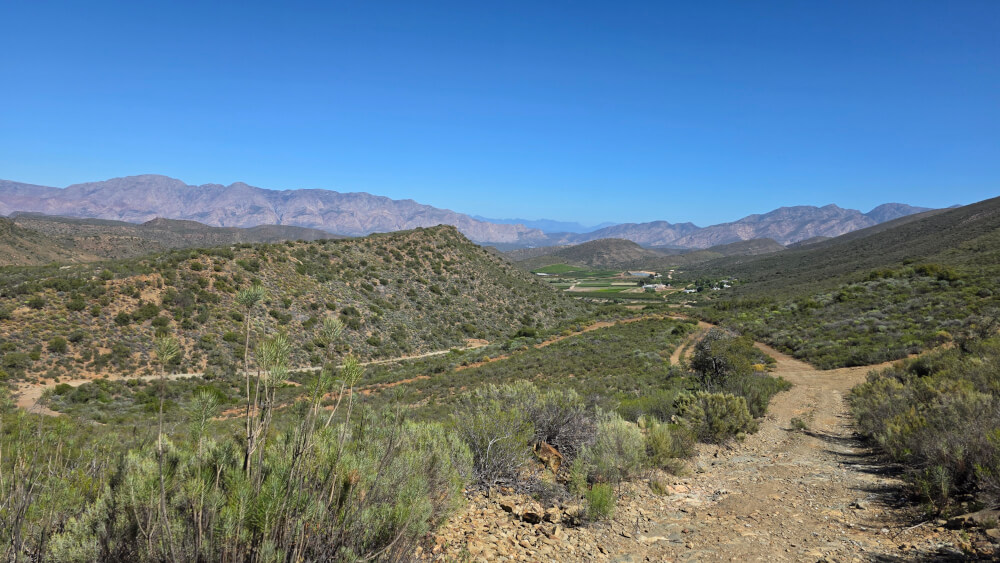
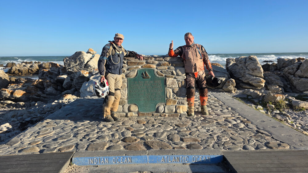
Meandering around the mountains past Robertson and McGregor, the landscape changed from dry Karoo scrub to rolling fields planted to vines and wheat further south. Although the wheat harvest had come and gone, the bleached fields meant this was still beautiful country to ride through. Elim charmed us with its whitewashed houses and neat streets. And then we were at Agulhas National Park: our endpoint the cairn at the southernmost tip. We felt almost like the explorers of old who’d arrived after an arduous journey.
An overwhelming experience
That night at Klipfontein Keep, a beautiful manor house on nearby Vissersdrift Farm, I reflected on the trip. I felt quite emotional knowing we’d completed our north-to-south route, with 92% of it on gravel. Thankful that nothing had gone wrong. Overwhelmed by the beauty of our country. And grateful for the camaraderie on the road.
Even now, months later, I’m still in a state of bewilderment. I can’t quite believe the landscapes we rode through. It was a sensory overload and every day we felt the scenery and riding experience was the best yet, only for the next day to surpass it. I hope others will be encouraged by our experience to get out there. Because, yes, you can travel on dirt all the way from Johannesburg to the Cape.
Ride statistics
- Average time in the saddle: 08:21
- Average moving speed: 70km/h
- Altitude change: 1,645m
- Maximum heart rate: 165bpm
- Maximum energy burn (day 5): 3,065kcal
People are often surprised by how physically challenging adventure riding is. Your body is constantly shifting and controlling this powerful machine. And then, of course, it’s hard physical labour to dig a heavy bike out of mud. As for the energy burn, I typically burn 470kcal on a 5km walk. So day 5’s ride was like doing a 32km hike!
Want to do the route?
As WillTour, Willem is making the custom route available to adventurers who want to experience the magic of this ride or drive themselves. For a nominal fee, this includes the GPX file of the complete route, along with a collection of around 100 additional waypoints marking accommodation, provincial borders, fuel stops and points of interest. Email wildwilltours@gmail.com for details.
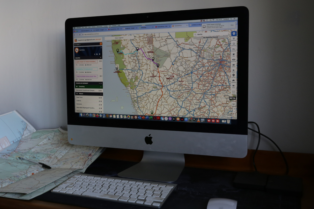
If you love travelling along gravel roads, use the Tracks4Africa Online Trip Planner to plot your route. It’s easy to see which roads are national tar, which gravel and which strictly 4WD. You can also export routes from the trip planner to use on a Garmin GPS device or sync with the Tracks4Africa App to view on the road. The same trusted Tracks4Africa data is used across all products: GPS Maps, app and paper products.
