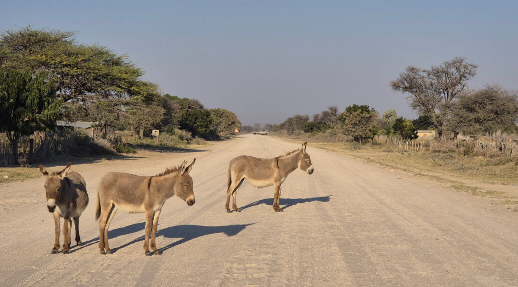
On a trip from Kasane to Windhoek by bicycle, Stephen Drew travelled along roads where donkey carts made up most of the traffic. In Namibia’s northeastern regions, he camped along the river and experienced the kindness of strangers. He reports back on road conditions, places to stay and what made the trip special.
“We’d got into no man’s land and it was starting to get dark, so we had a real problem,” says Stephen Drew. It was late in the day in Bwabwata National Park, the protected area in the northeast of Namibia sandwiched between Angola and Botswana. Stephen and Willy Alcock were making their way from Kasane to Windhoek by bicycle and they needed a place to sleep. Although on a previous trip to Namibia, they’d simply camped by the roadside, this wasn’t an option in an area where wild animals roam freely.
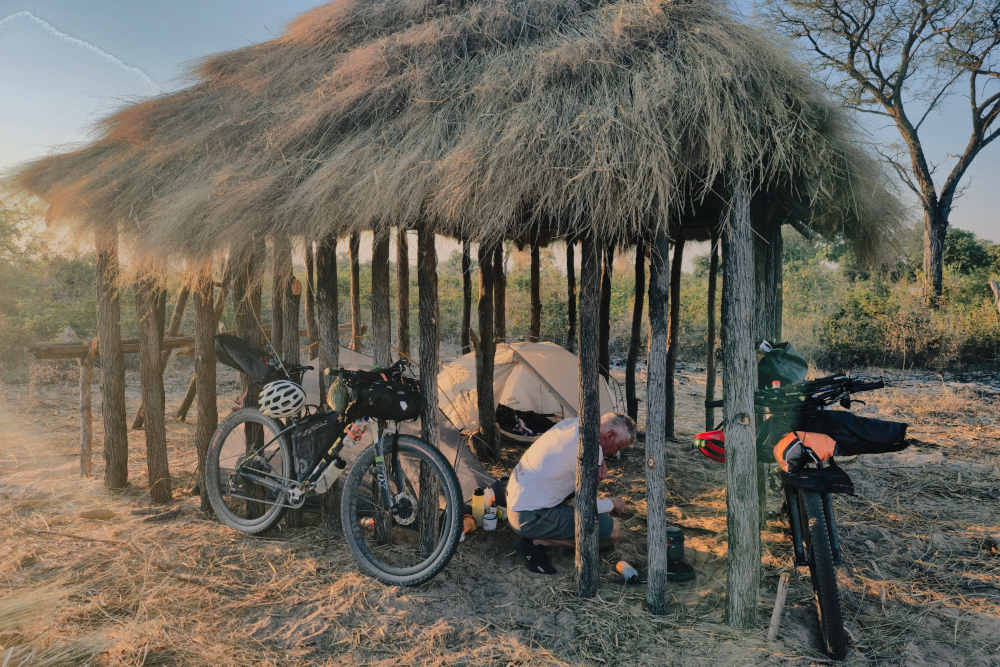
“But luckily we came to a settlement so decided to ask the people if we could camp there.” One problem: the villagers they spoke to couldn’t understand English. Then a little boy of about 10 came forward to translate. That’s how the cyclists found themselves camping under a partly constructed thatched shelter near Omega-1. Falling asleep with the sounds of the wild all around after a day spent cycling past pristine bush was exactly what Stephen had had in mind when he planned this route.
“I had never been to the Caprivi. It’s remote but mostly flat and since I was originally going to be riding solo, it seemed like the perfect adventure.” Stephen is an amputee cyclist and for the past four years he’s taken on cross-border bikepacking trips with his friend, Willy. For 2026, he decided to focus his route on the area formerly known as the Caprivi Strip. Today, Namibia’s panhandle is divided into the Kavango East and Zambezi Region and Stephen was particularly excited about riding the dirt road along the Kavango River.
Also read: What it’s like bikepacking Angola
The route
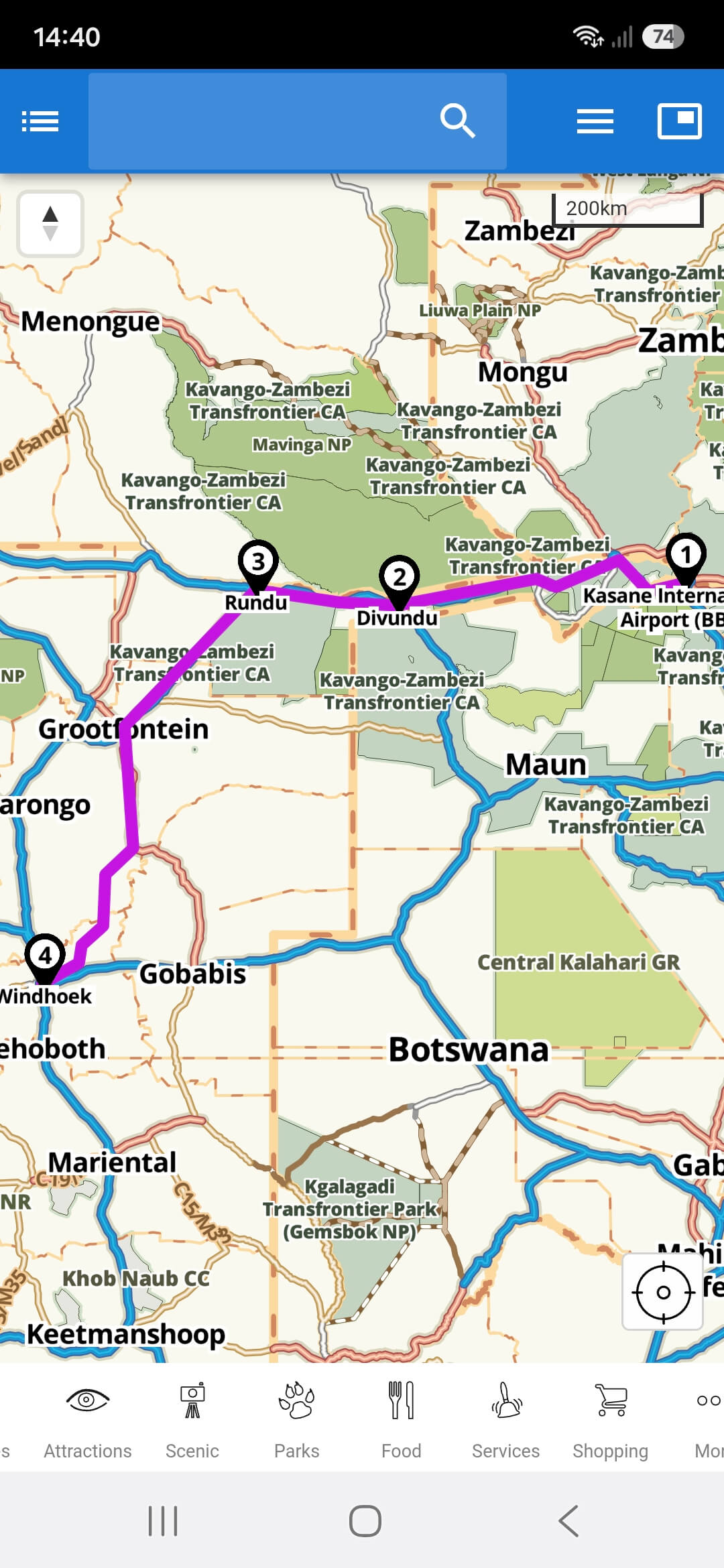
“I mapped the route from Kasane to Windhoek on the Tracks4Africa Online Trip Planner, selecting tortoise mode and using waypoints of where I wanted to be. But I also used the Namibia paper map, because it’s got so much detail,” he says. For Stephen, it’s the distance and travel time given between points that makes Tracks4Africa maps essential. That and the assurance that a road exists and can be travelled. He’s seen first-hand that other mapping services aren’t as reliable.
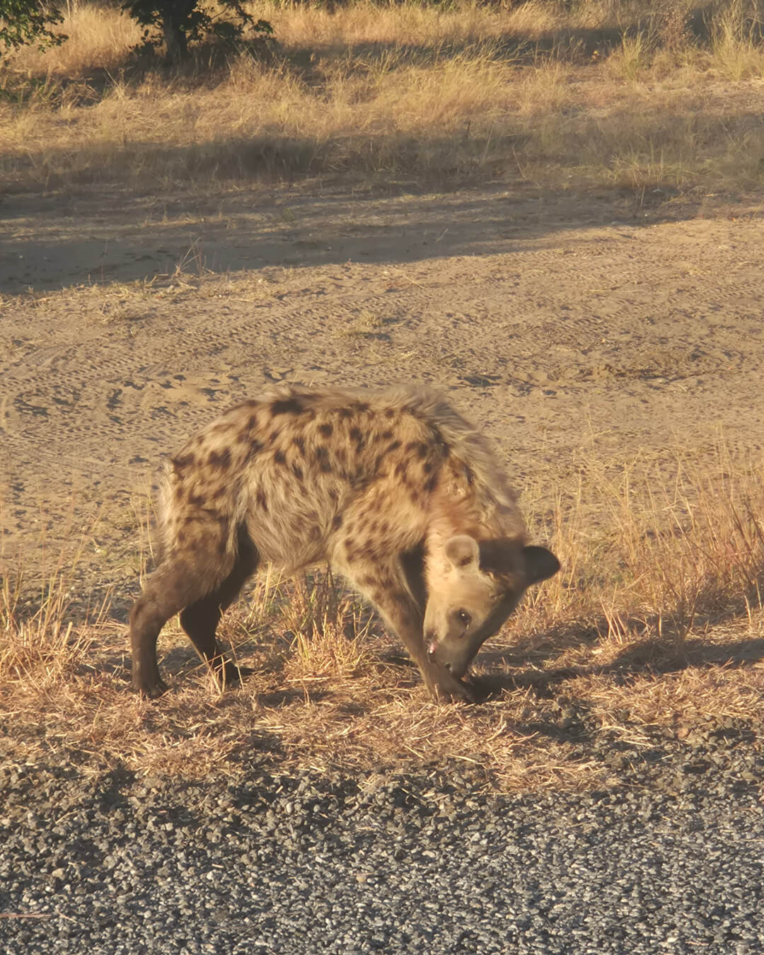
The route was always meant to be a guideline, not an imperative. The duo like to “wing it” and they know you have to be adaptable when overlanding. On this trip it was confirmed right out the gate. Stephen had pictured himself cycling from Kasane town to the Ngoma Bridge Border Post, but when they got to Chobe’s Sedudu/Ngoma Transit Control Gate, they discovered they weren’t allowed to continue by bicycle. The cyclists ended up taking a taxi through the national park to reach the Namibian border. Just as well, because they drove right past a hyena on their way there.
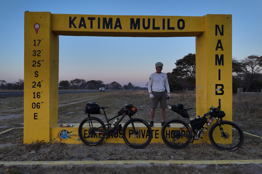
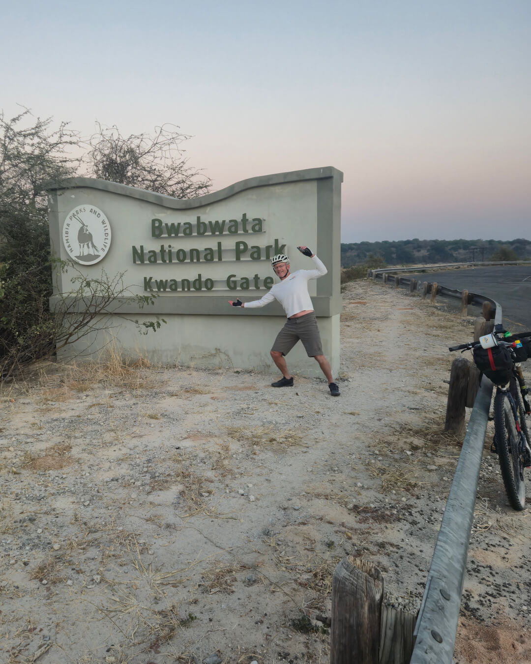
From Ngoma they rode onwards to Katima Mulilo and Kaenda, where they cycled a lovely little dirt section. They continued along the Trans Caprivi Highway and, although they didn’t see many animals due to the thick bush, they saw plenty of signs of wildlife. “It was very wild and beautiful. We came across fresh urine and elephant dung, you could smell that wild animals were about.”
Riding along the river
In Bwabwata National Park, they had planned to spend the night camping outside Chetto Clinic, but a good tailwind saw them reach it at 11:30 in the morning already. That night they camped with villagers near Omega-1, their young translator leaving a big impression. “He was so intelligent and asking lots of good questions about how our bicycles work. He never asked us to give him anything, he just wanted knowledge.” The next day, the cyclists accompanied him partway to school – he walks 1.5 hours to get there.
On the stretch from Divundu to Rundu there’s a gravel road (D3402) leading all along the river. Beforehand, Stephen and Willy were a bit apprehensive because they had heard it was very corrugated. “We said we’d go 5km, 10km down the road and if it was really bad, we’d take an escape route.” Several roads connect the river road to the B8 highway, allowing travellers to opt out.
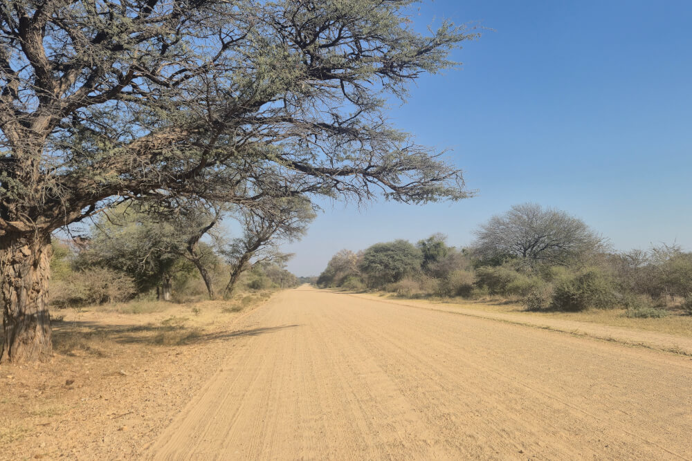
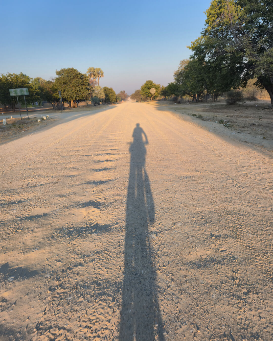
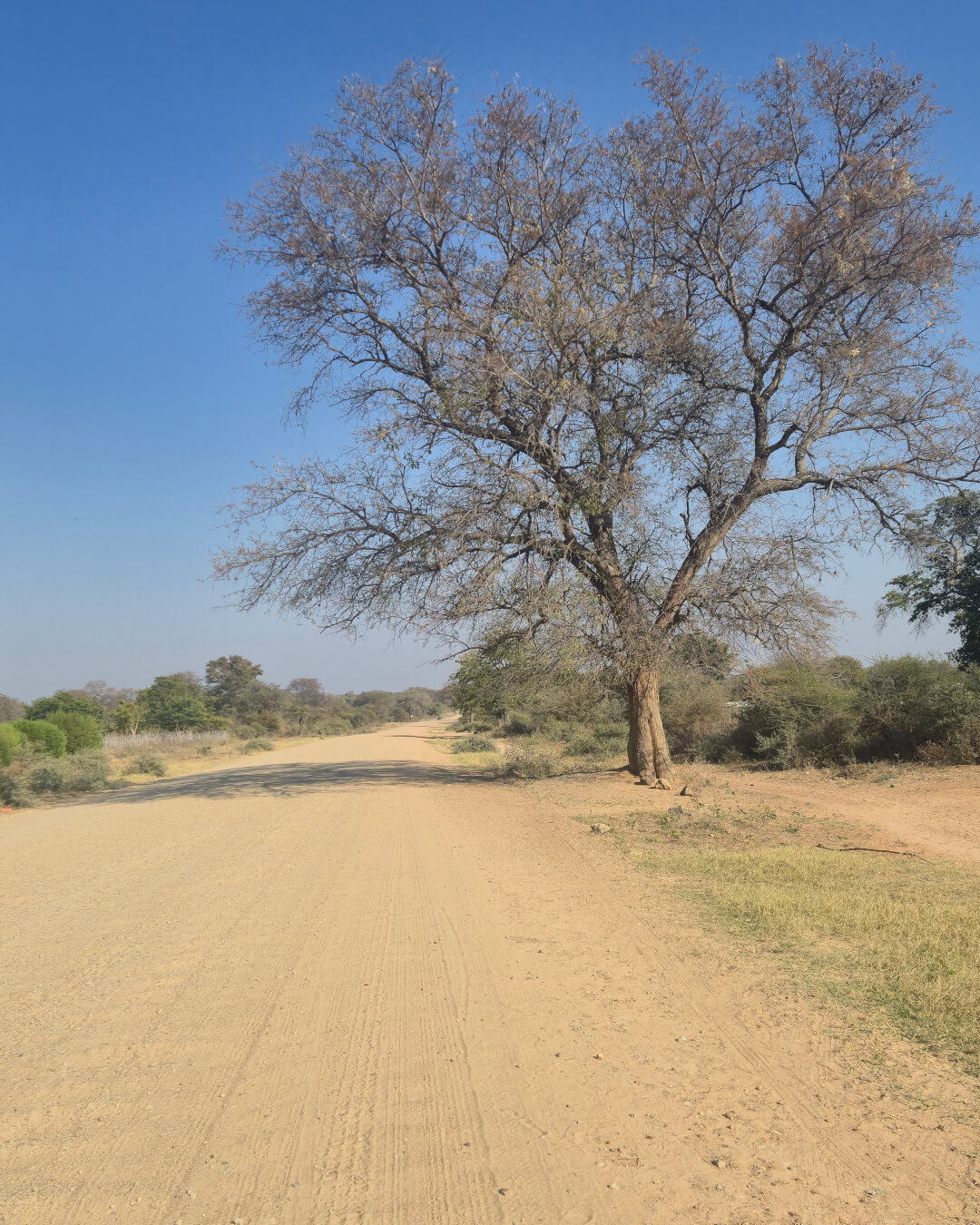
Although they came across some adventure bikers who had decided to abandon the gravel track, the duo weren’t put off. “We actually enjoyed it. It’s a bit sandy, a bit corrugated, but on a bicycle you just go slow. On the tar, you get a lot of trucks, so to be on a dirt road was more pleasant.” In places where the gravel road was in a bad state, they often found jeep tracks leading alongside where the going was good.
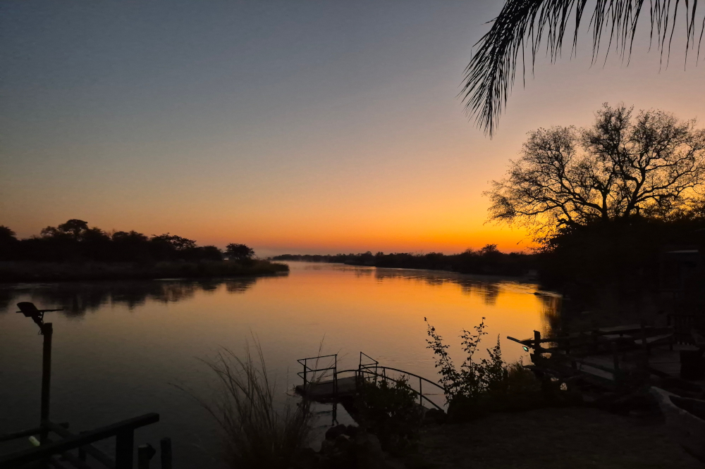
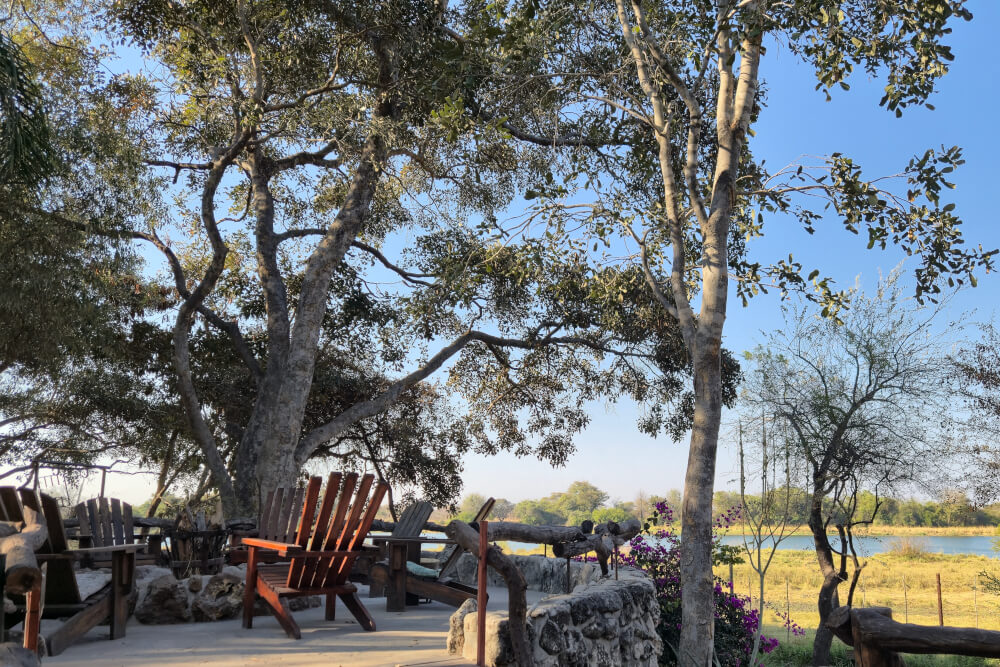
Unlike Bwabwata, which has little formal accommodation, there are several places to overnight along the Kavango River. Camp Ndurukoro, 50km west of Divundu, has campsites at the water’s edge and a large deck overlooking the river. At Mukuku Oasis, some 60km east of Rundu, lounge chairs around the campfire made for welcome R&R.
Taking the road south
As the cyclists headed south to Windhoek, the landscape around them changed. In Kavango East and Zambezi Region, they rode past dense woodland and along the river, it was lush and green. Now the landscape became drier and more savannah-like. The B8 highway from Rundu to Grootfontein is a good quality tar road that leads straight for kilometre upon kilometre. Great for overlanders in a vehicle who want to get to their destination. Not so inspiring for cyclists.
“I thought it was going to be the worst part of the journey, I was dreading it,” says Stephen. But he was pleasantly surprised by the pristine nature of the landscape along the roadside. “You have virgin bush all the way to Grootfontein.”
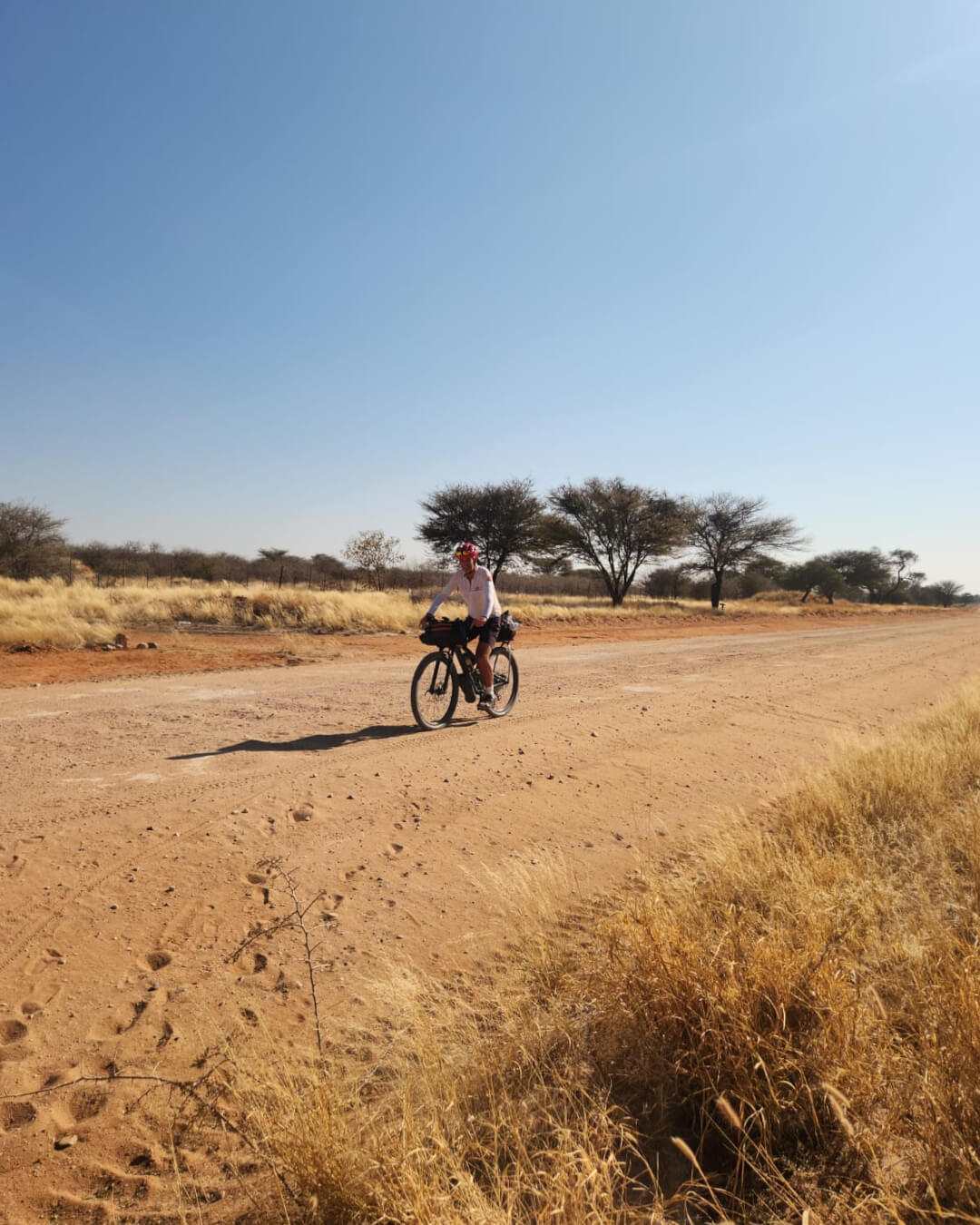
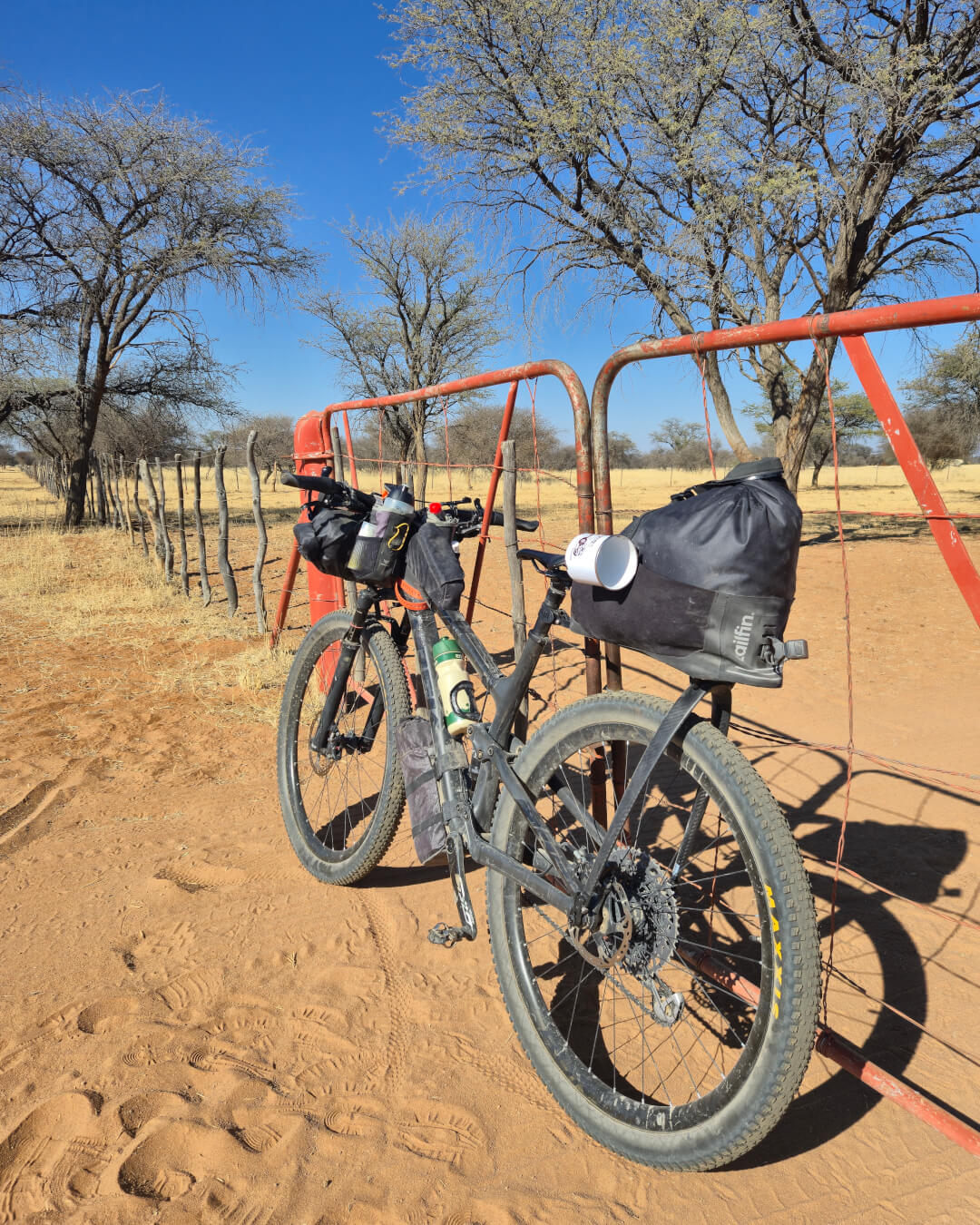
Then as they approached Hochfeld, the scenery changed again, becoming more mountainous. It also felt more remote, with greater distances between settlements and few signs of people. On one 80km section, there was just one shop. Every day the cyclists would look at the satellite image of the next section of road to check for farm buildings where they could top up their water.
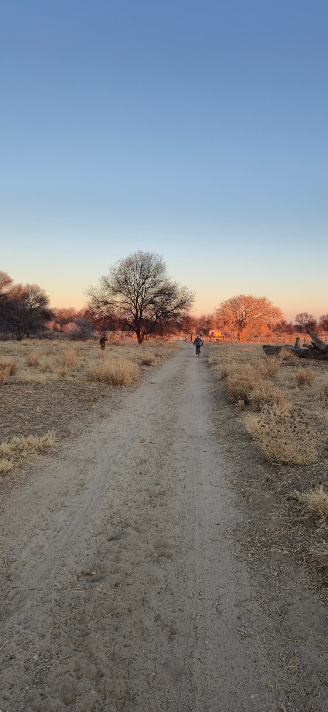
On the whole, the roads were good, with the D2166 south of Hochfeld particularly scenic: red sand showing up against pale grasses. Although the soft sand made it challenging at times, the cyclists enjoyed the seclusion. “You feel like you’re the only person in the world.” But around Hochfeld itself, be prepared for tough going on the C31 – it is in a state due to traffic from mining trucks.
Special places to stay
The route south was special for another reason too: overnight spots the cyclists will remember for a long time. Outside Rundu, Stephen and Willy stayed at Watupa Chalets, which had recently opened and was looking very smart. “Surprisingly, it was cheaper than the campsite we’d had along the Okavango River,” Stephen says. But what really stood out was the lengths their hostess went to.
Phoning ahead to book the accommodation, the cyclists requested spaghetti bolognaise for dinner. “We got a message back asking what is in spaghetti. That’s when we thought we might have a problem.” But sitting down to supper that night, they had two brilliant plates of spaghetti bolognaise. “It was cooked to perfection and so flavourful, even though the cook had never made it before.”
Just before Grootfontein, the duo stayed at Pondoki Rest Camp, which they had found on the Tracks4Africa App. “I can highly rate this stay. The owner was incredibly hospitable and would not allow us to camp but offered accommodation at the same price. We had a good pizza in the restaurant when we arrived and the next morning the owner was up early to serve us breakfast at 07:00.”
They made a lucky discovery on the isolated stretch between Hochfeld and Otjihaenena. Since this isn’t a busy or touristy road, there are no shops or accommodation. Stopping at Silversand Farm to ask if they could replenish their water, they learnt it was a game farm and hunting lodge, so they spent the night. “We enjoyed the true German Namibian hospitality that you hear about. The smoked eland we had with eggs for breakfast was excellent.”
Stephen’s tips for bikepackers
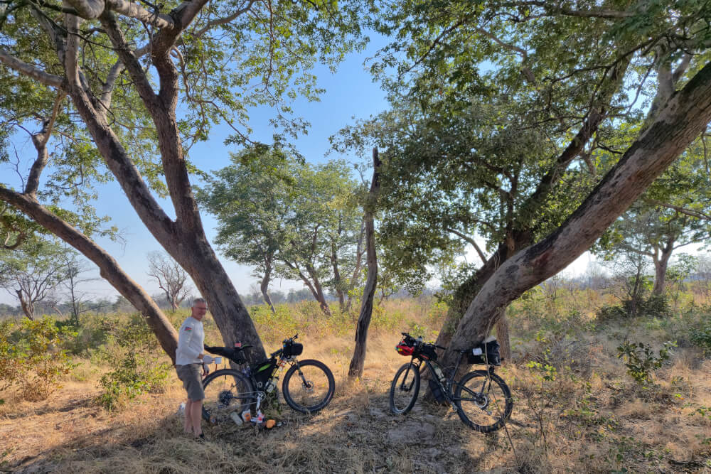
Our solution for riding on sand is to travel very light and use mountain bikes with wider tyres. We came across other bikepackers who were carrying 50kg, like pack horses. With that kind of weight, you won’t enjoy cycling the dirt roads. Whereas my bicycle with water and everything came to around 28kg.
We take a minimalist approach to packing: one set of cycling clothes, one set of clothes to change into. Our trips take place in the dry season so we don’t take rain gear. We buy food as and when needed so we don’t carry unnecessarily.
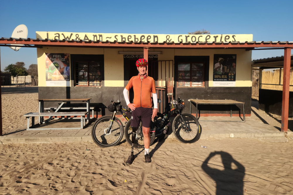
Village shops sell all kinds of tinned goods as well as freshly baked bread rolls. At a trucker stop close to Mururani Camp, we came across freshly made fat cakes – smaller than the vetkoek we have at home and so delicious.
If we don’t use something, we get rid of it so it doesn’t clutter up our packing. It’s equally important to get clutter out of your head and simplify your processes. I put my sleeping bag and tent on the front roll and forget about them – if we’re not camping, I don’t even touch that roll.
It can get very cold at night in winter, so prepare accordingly. My lightweight sleeping bag wasn’t quite up to the overnight lows of -5°C. But even in winter, it’s warm during the day: by 09:00 it would already be in the upper 20°Cs.
Trip planning for Namibia
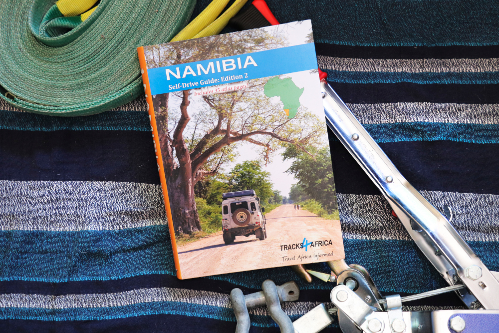
Already in its third edition, our popular Namibia Self-Drive Guide brings together essential information for a successful overlanding trip. From destination descriptions to need-to-know country specifics on safety and health, the guide is invaluable for trip planning. Accommodation listings that feature facilities and contact details make booking simple. And thanks to the atlas pages at the back, the guide is just as handy for navigation – the sturdy design ensures you can take it on the road with you.