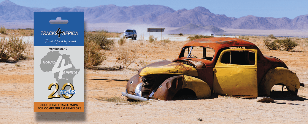
With the release of the Tracks4Africa GPS Maps v26.10 on SD Card, we celebrate 20 years of providing a complete mapset of Africa to the overlanding public. Thanks to verified roads and updated points of interest, our GPS maps help you travel the continent with confidence.
Our latest update of the Africa mapset, GPS Maps v26.10 on SD Card, recently saw the light. Built from overlander-tested data, this mapset is your key to unlocking the continent. Simply plug the card into your Garmin GPS device and you’re ready to navigate.
The new release reflects our current research focus, with updated information on the Namakwa Eco Trail and Richtersveld National Park. What’s more, for this version, we processed 101 data submissions, adding roads and points of interest while improving the quality of existing data.
Here’s what you’ll get in GPS Maps v26.10:
- 1,476,757km of roads and detailed tourist coverage
- 292,662 points of interest
- 4,664 campsites – the most complete camping database in Africa
- 20,373 places to stay
- 9,802 spots to eat and drink
- 15,576 fuel stations
What makes GPS Maps v.26.10 special is that it marks 20 years of Tracks4Africa putting everyday travellers in the driving seat. With our GPS-routable maps, we’ve helped overlanders travel to parts of Africa that other map services don’t even know about.
Where did it all begin?
Picture it: it’s the late 1990s and you enjoy pitching your tent in untamed places. The type of places known only to locals and a handful of adventurous travellers. There’s no formal map to reach these spots, but some intrepid overlanders are making use of GPS technology to record their tracks. And if you know someone who’s ventured to some uncharted place, you can swap tracks. Of course, you still need to be a tech boffin to overlay the GPS data on raster maps.
For the late Wouter Brand, adventure biker and data engineer, swapping tracks with mates was not good enough. He was determined to find a better way for overlanders to access routes. The result was Tracks4Africa.
Build it and they will come
At the beginning, Tracks4Africa was a passion project, driven by four Africa lovers – and a legion of eager overlanders. Wouter Brand had the idea to create a website and community forum for sharing tracks. Anita Devenish provided the funding, Hans van Houtem was the online administrator and Johann Groenewald brought knowledge of GIS, which is used to map data. But when Tracks4Africa went online in 2001, the data was still a loose collection of tracks and waypoints. Although Wouter started building a map from the community data, it wasn’t in a format that would work on GPS devices.
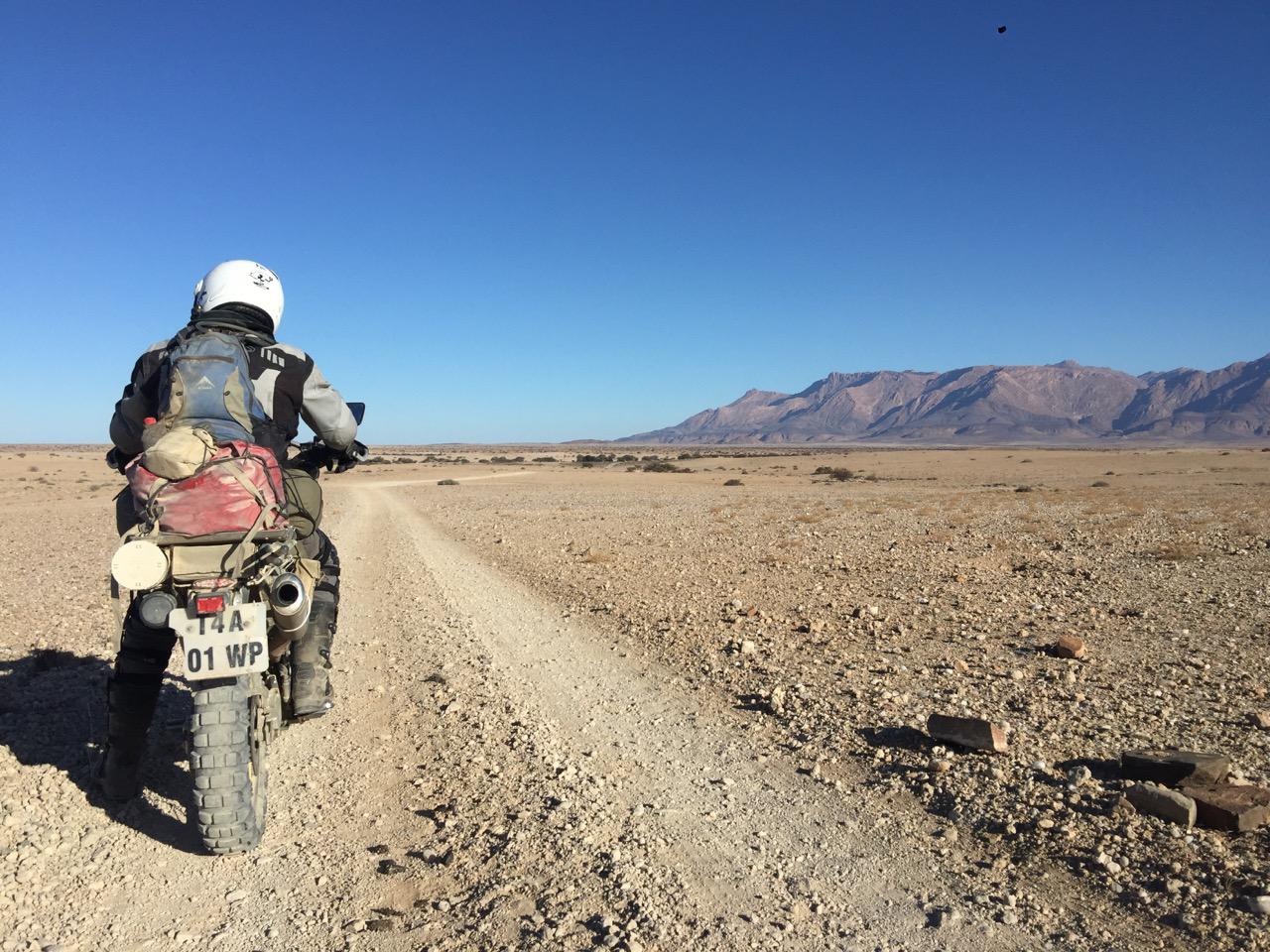
The impetus that moved map development forward was a rally accident that brought one Tracks4Africa community member to a standstill. In 2003, Sarel van der Walt was confined to bed while recovering from injuries after a motorcycle crash. That’s when Tracks4Africa asked him to build a GPS map – something to keep him occupied. Not too long before, a Polish software developer, Stanislaw Kozicki, had released software that could convert map data into Garmin-readable binary files. The elements were falling into place.
On track in Botswana
Within three weeks there was a prototype that Johann Groenewald could put to the test on a trip to Botswana. If you have driven across the Makgadikgadi Salt Pans, you will know it feels like a vast emptiness with an endless horizon and few landmarks. It’s not the type of place where you want to get lost. But the new GPS map worked. Johann remembers how his wife had to call out directions – the map wasn’t routable yet – but it got them where they wanted to be.
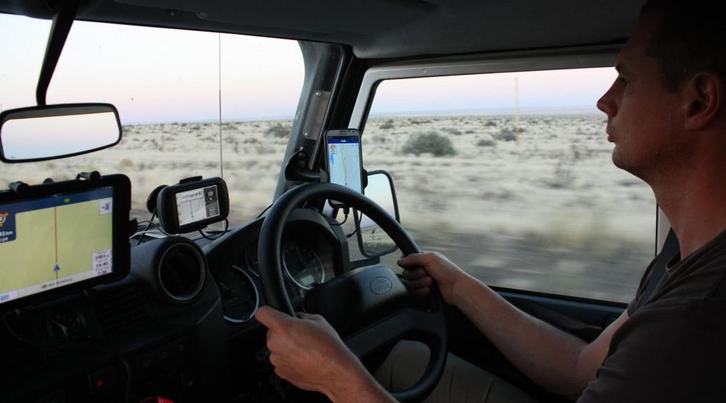
By 2005, we were selling GPS maps on the Tracks4Africa website. At the time, it was mainly our community of contributors who were using them. Then, in 2006, we were approached by specialist GPS retailers (yes, they still existed back then) to make our maps available to the wider public. The next stage of the journey had begun.
Maps for Africa, for everyone
A grand total of 150. That’s how many CDs featuring our Africa GPS Maps we produced in 2006. The CD offered two big advantages, explains Johann, today Tracks4Africa’s owner and director. “The CD was a physical product that could be branded and it bridged the gap for people unfamiliar with downloadable maps,” he says. For a growing base of early adopters, our GPS Maps on CD put Africa within reach.
Back then, CDs were commonplace. People were used to the medium and it was easy to find CD stands to promote the product in shops. “However, we had our own boxes made which retailers could use to display our products,” says Johann. Over time, CDs faded as a storage medium and since Garmin GPS units have SD card slots, we took the step to switch from CD to SD card. “This completely removed the friction of having to load the CD’s contents onto your computer and then transfer it to your GPS.”
During the heyday of Garmin GPS usage, we sold around 9,000 SD cards in a year and probably just as many individual country maps via digital download. “At a rough estimate, we’ve probably provided GPS maps to about 300,000 travellers,” says Johann. Today, digital downloads outweigh the SD card, with the Tracks4Africa App being the latest way to explore.
New ways to navigate
The Tracks4Africa App enables you to use our trusted maps completely offline – no data or cell service necessary. With information about attractions, accommodation and traveller services, the app helps you find what you need, wherever you go. It works in tandem with the Tracks4Africa Online Trip Planner: plan your route, then sync it to the Tracks4Africa App to follow it on the road.
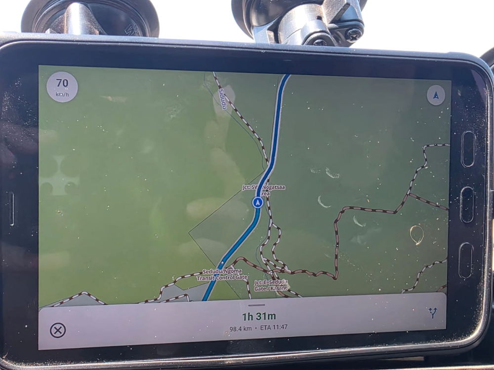
While the new Tracks4Africa app does not offer routing like on the GPS yet, there was another pivotal moment just recently. Johann travelled through Zambia on his way back to South Africa and in Kasane checked in with the office. The developers made him download the very first version of the app with offline routing built in. The testing was again done in Botswana, this time driving through Chobe National Park on the way south towards Kgalagadi. While not completely done yet, a very functional offline routing test was performed, paving the way to an imminent release.
We may be celebrating 20 years of our GPS Mapset – and 25 years since Tracks4Africa was founded – but the journey is far from over. We’re excited to continue exploring Africa with you.

Hi there—we’ve been using Tracks4Africa GPS maps since 2014. Every single one of our many overland trips has been planned using T4A, and your maps have made a wonderful contribution to our overlanding enjoyment over the years. Thank you!”
Great to hear how the maps are working for you. We hope the upcoming tools will only add to your experience.
Well done. Keep up the good work!