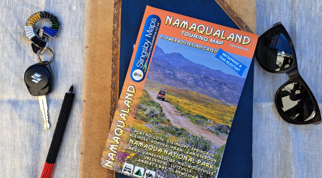
Namaqualand is a byword for wildflower spectacles, but there’s far more to experience. Think mountain vistas, 4×4 trails, off-grid camping, hot water springs and more. The new Slingsby Namaqualand Touring Map will help you see this landscape in all its glory.
The highway that connects the Cape to Namibia cuts through Namaqualand, offering overlanders glimpses of the countryside that lies beyond. Rolling hills, sparsely covered for most of the year, then dramatically transformed into carpets of daisies, lead down to the coastline. There are craggy mountains and smooth granite outcrops, villages with historic church spires and hamlets too small to have formal places of worship. Gravel roads are the all-important arteries that connect places in Namaqualand: some major, some minor, some just two-spoor. All begging to be explored. For travellers ready to leave the N7 behind and embark on adventure, the Slingsby Namaqualand Touring Map is the key to rewarding explorations.
Mapped in the Slingsby tradition
This is our first map to focus on Namaqualand, a region that is close to the heart of Johann Groenewald, co-founder of Tracks4Africa. He used to visit his grandparents on their farm outside Nuwerus and the landscape is imprinted in his memories. “This area beckons those that love adventure travel and the quiet of the backcountry,” he says.
The map is also our first release in the Slingsby Maps series, the legendary maps crafted by Peter Slingsby. The new touring map has been created from the ground up to honour his legacy. “My goal was simple,” says cartographer Rudi de Lange. “I wanted to strike an acceptable balance between the high-detail cartography that devotees rightfully expect from a Slingsby touring map and clear, easy-to-read, practical mapping.”
Peter’s principle is that a map should hold a user’s attention, explains Rudi. “It should inspire exploration and cultivate a sense of wonder and respect for the natural environment.” For this touring map, we included relief shading, faint contour lines and drainage (rivers and streams, pans, vleis and fountains). The topographic detail helps the map reader understand the lie of the land, inviting exploration over the next hill.
A unique characteristic of our Tracks4Africa printed maps is the travel time shown between two points on a road segment. We are proud to incorporate this feature into new titles in the Slingsby Maps series, such as this one.
What to expect from the Namaqualand Touring Map
We have designed this map to enable independent exploration. It combines geographic features and details of the road network with information aimed at trip planning and navigation. At a scale of 1:250,000, the map reveals the region’s hidden tracks as well as sights and experiences not to be missed. It is the result of weeks of dedicated field research, supplemented by invaluable on-the-ground support from the Namaqua Coastal Route.
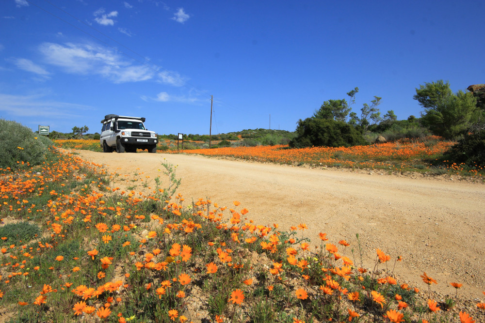

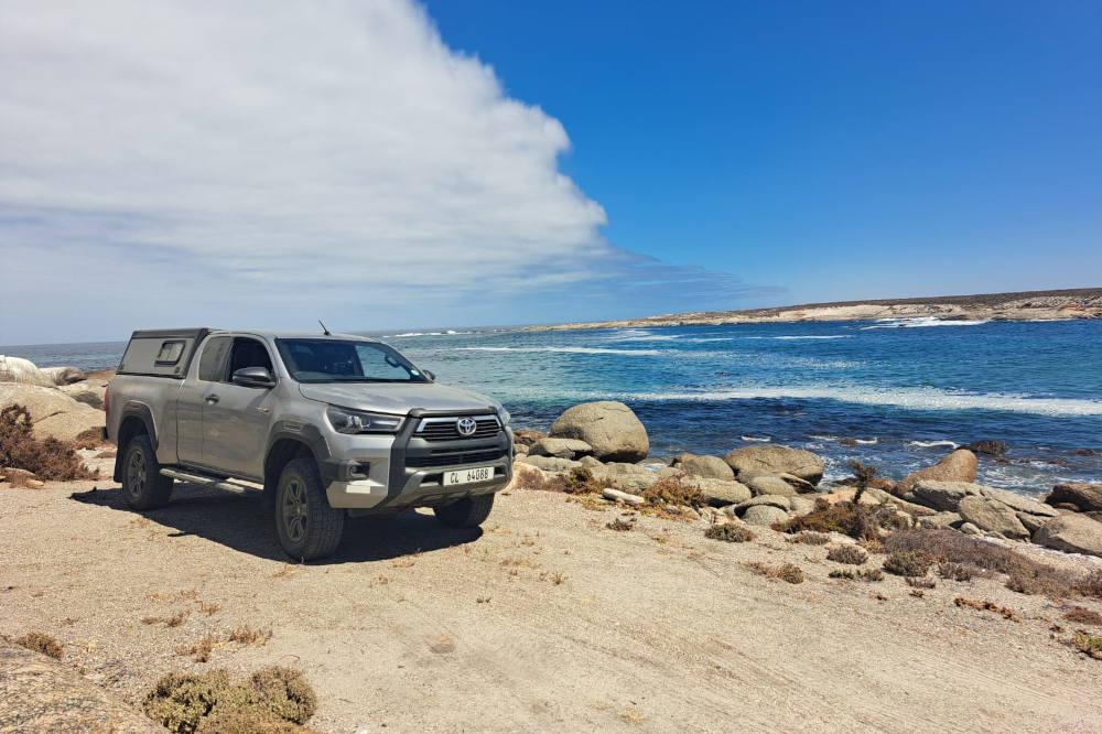
In 4x4s and on adventure bikes, we criss-crossed the area to verify roads and check on shops, fuel stops and places to stay. Our team spoke to locals and tour guides, sought out attractions and uncovered hidden gems. And they fell under the spell of Namaqualand. Not just a destination for flower season, it’s a region that rewards travellers who venture off the beaten track. For adventure seekers and lovers of solitude, there are many remote roads to follow.
Key features
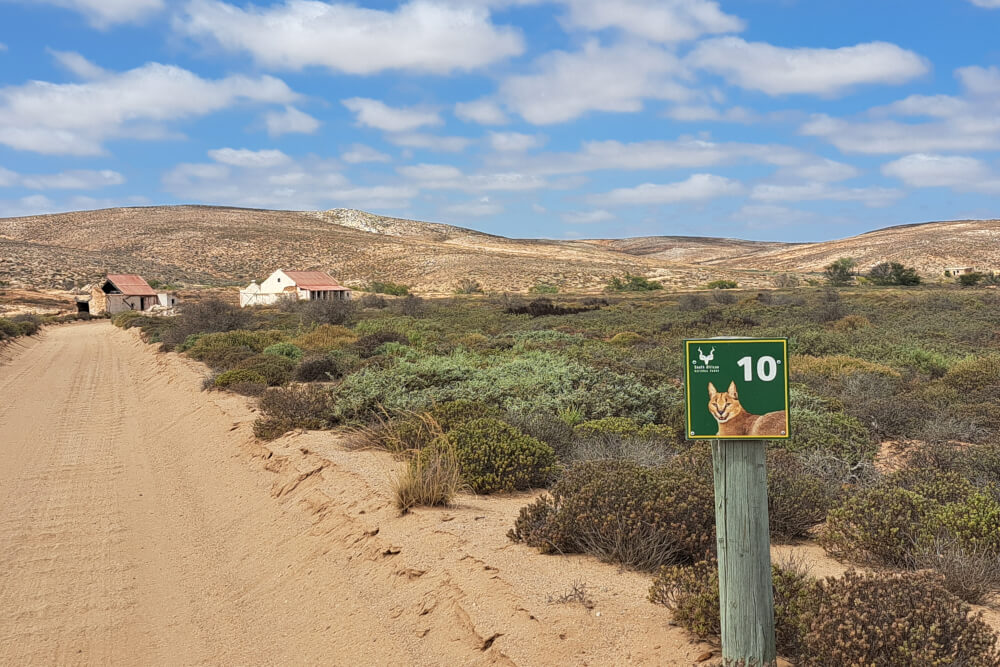
The touring map covers the area from Clanwilliam in the south to Port Nolloth and Vioolsdrift in the north. With the West Coast forming the western boundary, the map extends past the Kamiesberge and Nieuwoudtville in the east. Namaqua National Park is covered in its entirety (both the Skilpad Wildflower Reserve and the coastal section) and the Caracal Eco Route is highlighted for effortless navigation.
- Travel times and distances shown on roads for better trip planning
- Road classification so you know what to expect – including gravel, two-spoor and 4WD tracks
- Icons highlight high-value roads: a daisy for flower routes, smiley face for scenery/enjoyment
- Icons for accommodation, camping, fuel and traveller services make planning easier
- Find restaurants, farm stalls, museums, archaeological sites and natural attractions
- Activities from bird watching and fishing to horse riding and golf
- Clear indications of road access and private property
- Printed on waterproof and tear-resistant Duraflex paper
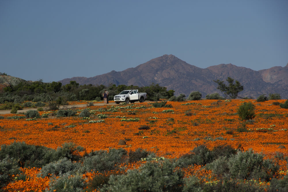
This map would be a great companion on road trips to view the spring flowers. But don’t discount Namaqualand the rest of the year – in low season it makes for remarkable remote travel within a five-hour drive from Cape Town.
Buy the Namaqualand Touring Map.
