Known for its friendly people and shimmering lake, Malawi also offers spectacular mountain trails and tracks that every overlander should experience. After a recent visit, Jürgen Mueß and Menzi Cele share old favourites, new discoveries, road updates and travel tips to ease your way.
This is the ninth time we’ve visited Malawi, yet we still find ourselves pleasantly surprised. On this trip we checked out potential destinations for our touring company. We also wanted to drive specific roads to check on their condition – there is some good news on that front. Now is a good time to visit the Warm Heart of Africa. Tourism still hasn’t fully recovered after Covid, so places aren’t as busy and there are deals to be had.
Malawi attractions not to miss
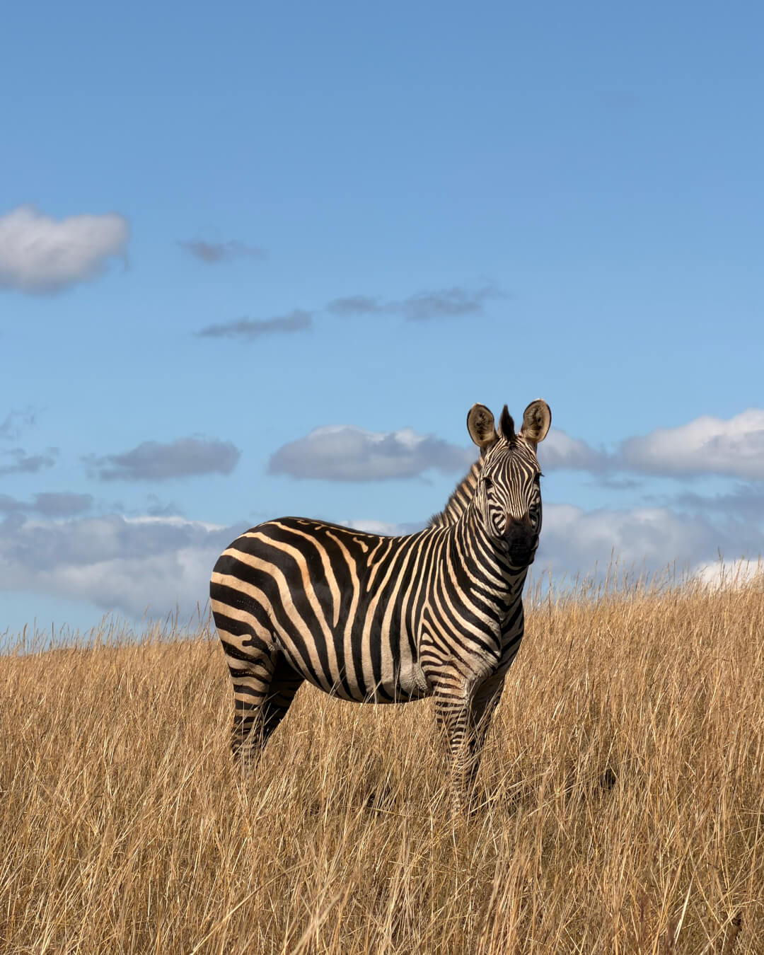
In the north, the grasslands of Nyika National Park are home to plains game, including the rare roan antelope. Situated on a plateau, it’s Malawi’s biggest protected area. We suggest overnighting in Mzuzu (there’s a good Italian restaurant) before setting off for Nyika. Although the distance is not far (160km), it’s a full day of driving. Next to the park, Livingstonia is known for its historical buildings and cooler climate. This is where early missionaries came to escape the heat and mosquitoes along the lake.
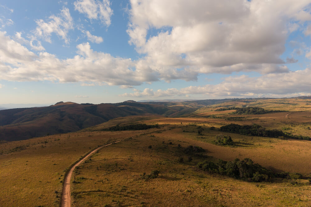
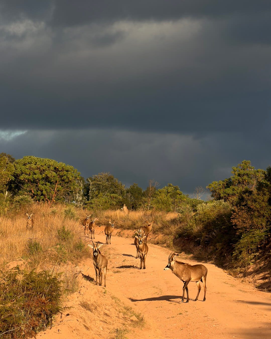
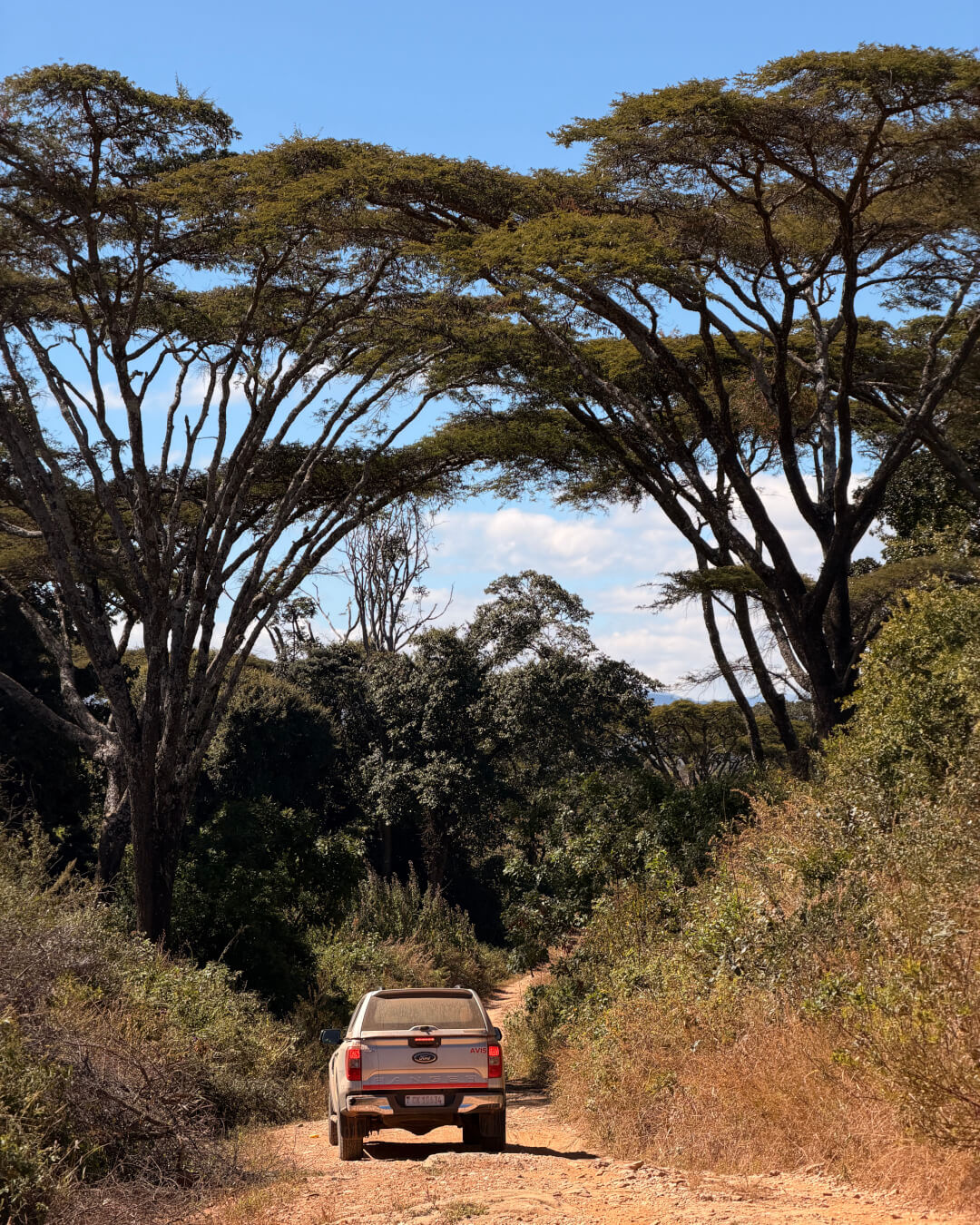
The escarpment of the Nyika plateau is a spectacular setting for accommodation – The Mushroom Farm is well known for a reason. But on this trip we made the discovery of Msasa, an eco-camp owned by a South African couple. The setting on the edge of the escarpment ensures breathtaking views down to Lake Malawi. Overnight options range from campsites to cabins and there are beautiful hikes, including to Manchewe Falls.
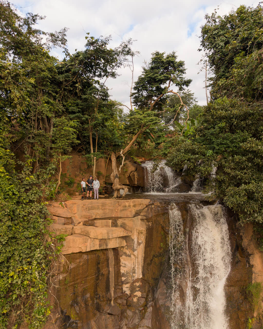
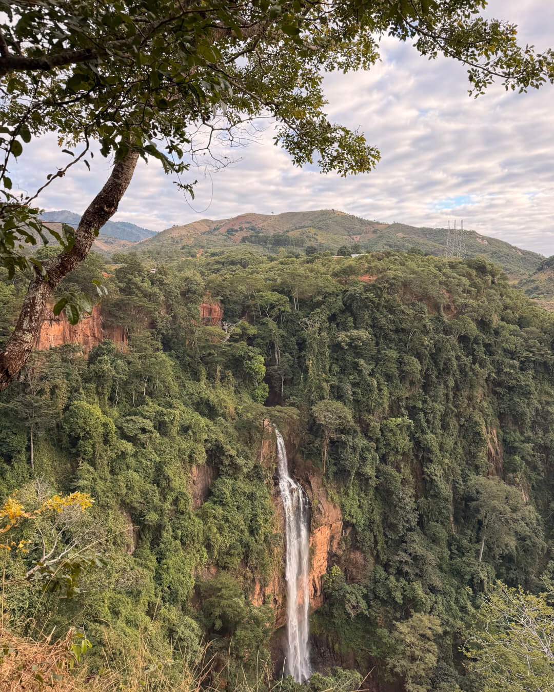
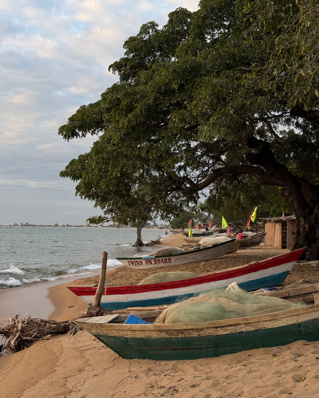
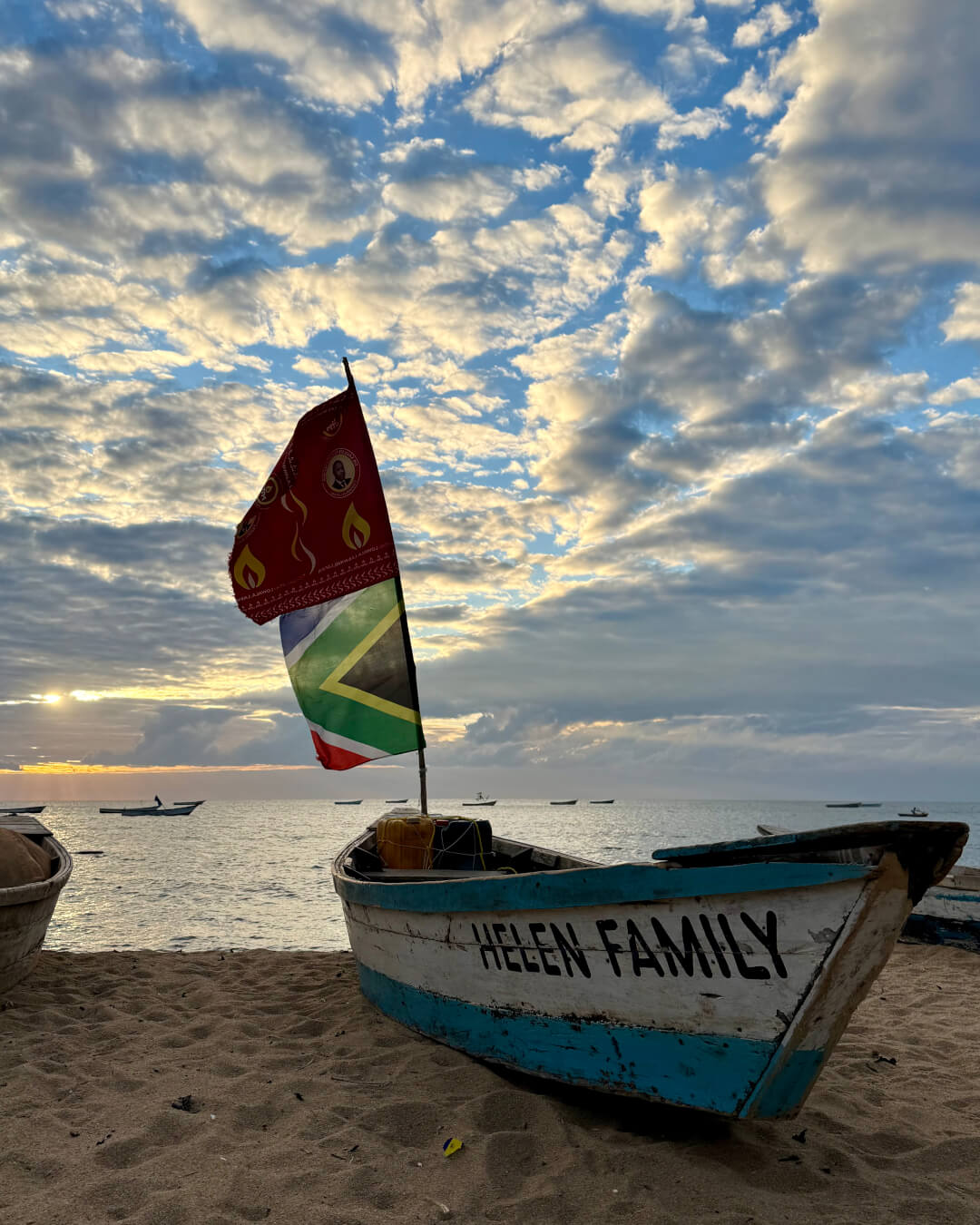
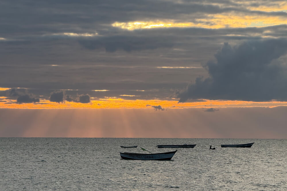
We found the water levels in Lake Malawi higher than when we first visited in 2017. The luxury lodges on islands in the lake rival any tropical paradise, but overlanders don’t need to splurge. Affordable hotels and campsites dot the lakeshore. We recommend heading to Cape Maclear: its national park location offers crystal clear waters and a large population of fish eagles. An added bonus is that you get to enjoy sunset over the water; elsewhere, lakeshore spots face east. Lake Malawi is balmy year round and your accommodation can advise where it’s safe to swim to avoid bilharzia and crocodiles.
To the south, the Zomba plateau has two significant sites, the Queen’s and Emperor’s viewpoints, which offer panoramic views of the countryside. There are beautiful hiking trails and camping opportunities, but for this trip, we set our sights on an even more dizzying destination: Malawi’s highest peak.
Mount Mulanje, Malawi’s best-kept secret
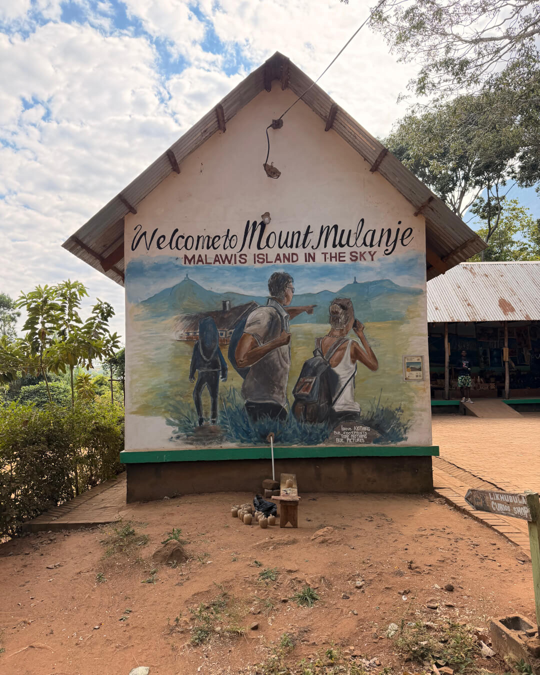
The granite massif of Mount Mulanje seems to rise straight up from the surrounding countryside. The top is often shrouded in clouds, but on a clear day, you can see all the way to Zomba, 80km in the distance. This is a pristine wilderness that offers a wonderful sense of isolation.
Although the traditional staging point for a Mount Mulanje excursion is Likhubula, we spent the night before and after our trek in Thyolo, 50km away. Here, the old homestead on the Satemwa Tea Estate, Huntingdon House, has been turned into luxury accommodation. Satemwa is a destination in itself: the rolling green tea plantation can be explored on foot or mountain bike and there are tea and coffee tastings on offer.
To reach the highest point in Malawi, Sapitwa Peak, we booked a three-day package which included a guide, two porters and a chef. A guide is mandatory for Mount Mulanje’s higher reaches, but if you want just a taste, you can do the hour-long unguided hike to Likhubula Falls. We thought the package, quoted at USD210 per person represented good value. The cook served up three courses for dinner, using an open fire to cook. Thanks to the porters we could slackpack, a huge benefit since the steep trails are testing. We were fresh off six days hiking in the Drakensberg and found Mount Mulanje far more challenging.
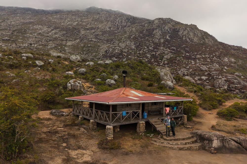
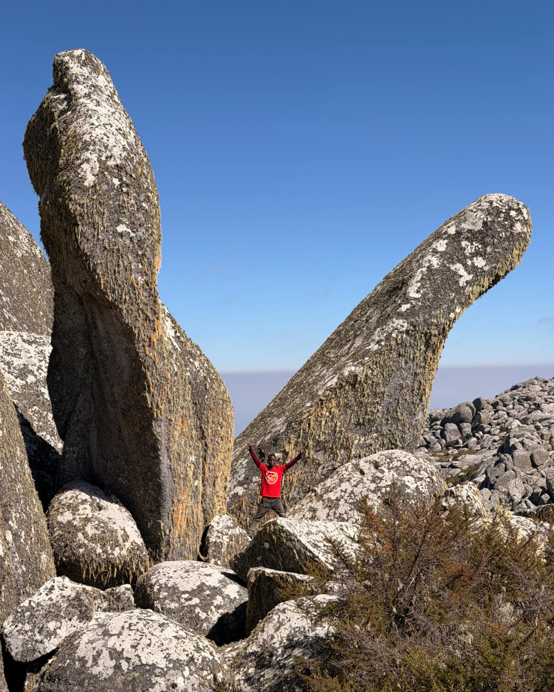
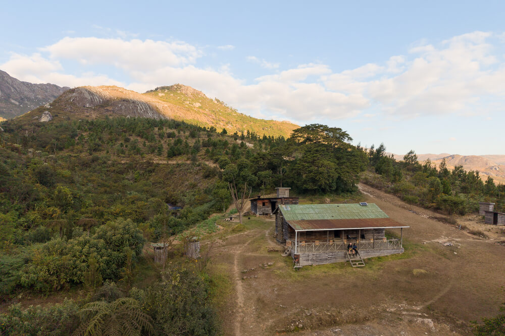
Day 1’s 14km route ascended more than 1,000m to reach the plateau and the overnight stop at Chisepo Hut. On Day 2 we covered 16km, of which 10km extremely steep up and down Sapitwa Peak, spending the night at Chambe Hut. Day 3 was roughly 13km back to the trailhead. The mountain cabins are rustic – picture sleeping bags on mattresses in a large room – but their setting is incomparable. The hiking is tough, yet well worth it for the solitude and time in unspoilt nature.
What to expect from Malawi’s roads
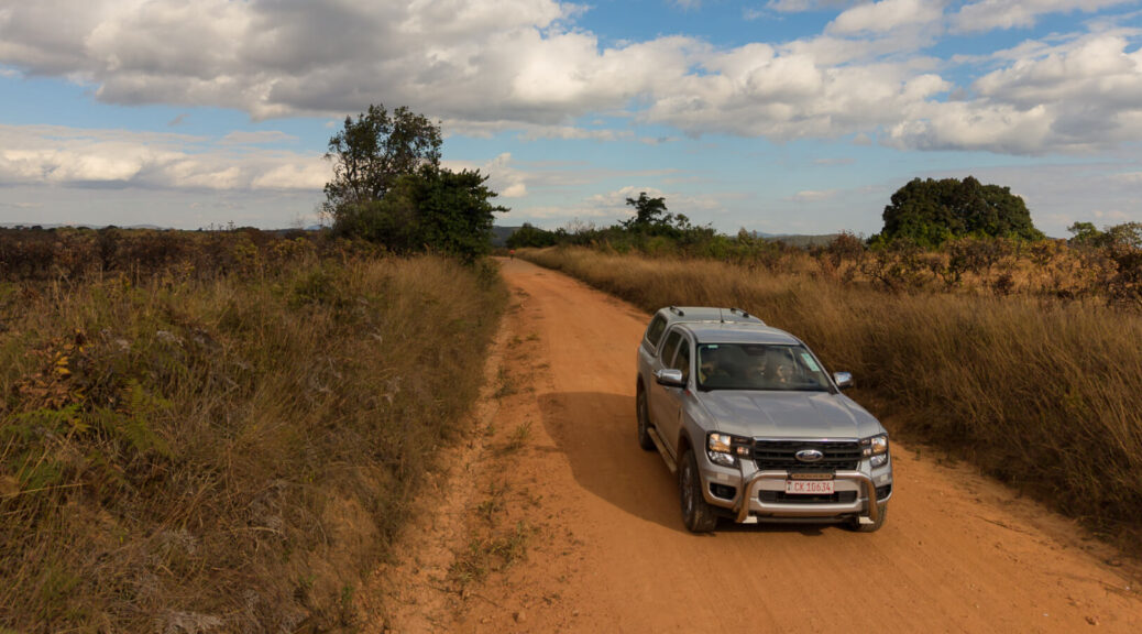
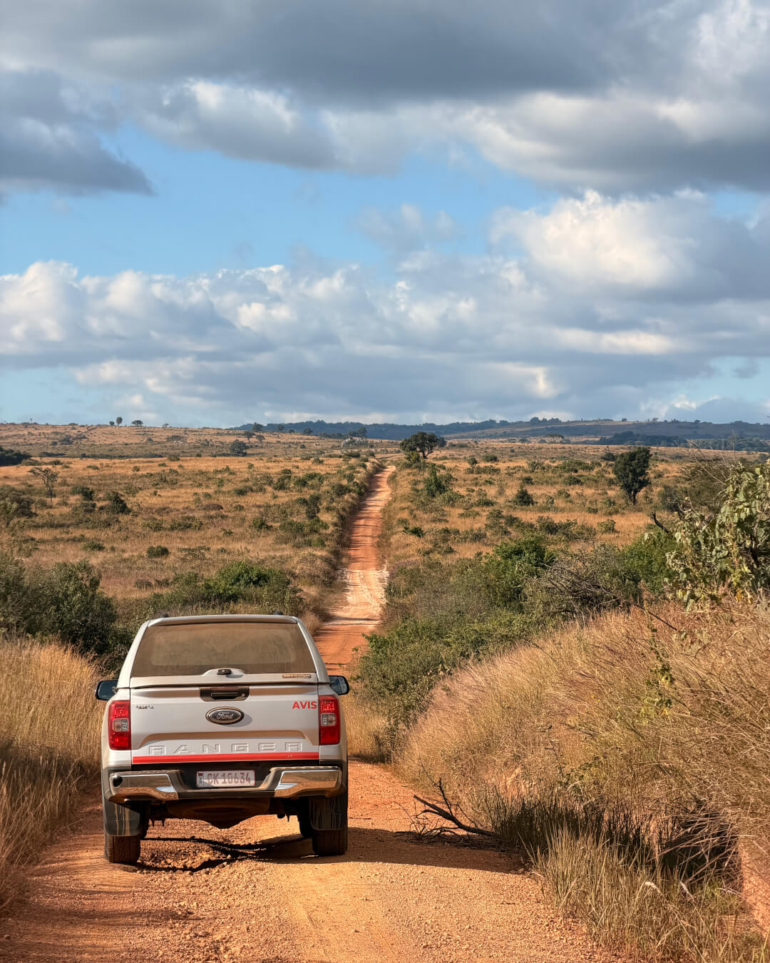
Some of the roads we travelled were good, some passable, a few terrible. Two were truly memorable – you’ll want to add them to your itinerary.
Lilongwe–Mzuzu: Aside from a few potholes, the road is in fairly good condition. Near Mzuzu, repairs are underway.
Mzuzu–Rumphi: Large stretches have been renewed so overall quite good, with some potholes coming out of Mzuzu.
Rumphi–Chilumba: When we visited two years ago, this road was in a terrible state, but is now being repaired.
Chilumba–Karonga: You need around four hours to cover this 80km stretch. From Karonga on to the Songwe Border Post with Tanzania, things improve – the road was rebuilt a few years ago.
Livingstonia–Rumphi: This road is newly tarred and a pleasure to drive, winding through stunning mountain scenery.
Lakeshore Road: Between Nkhata Bay and Dwangwa, the road is in relatively good condition. The tarred stretch between Nkhotakota and Salima is practically non-existent, suffering from regular truck traffic to the sugar mill and water damage caused by the cyclones. The erosion is such that there’s barely one lane to be shared between traffic in both direction. Navigating the massive drop-off between the paved surface and the side is a challenge in itself, especially in traffic. Travelling the Lakeshore Road on a Sunday, as we did, could make it less daunting. The 170km or so from Dwangwa to Salima took us four hours.
Golomoti–Cape Maclear: This 80km-stretch is badly potholed and could potentially take three hours.
Must-drive mountain passes
We braved the road to Chilumba because we wanted to drive Gorodi Pass. Although not very long, this pass is an impressive feat of engineering as you wind your way up through around 20 hairpin bends across 7km. Some of the bends are so sharp, you even have to reverse the vehicle partway through to adjust your angle. Low-range will help you ascend the uneven track; in some areas, diff lock might be useful. Although we wouldn’t recommend doing it with a trailer, Gorodi Pass is definitely worth the experience. It’s astounding to see motorcycle taxis ferry two passengers and their luggage up this road!
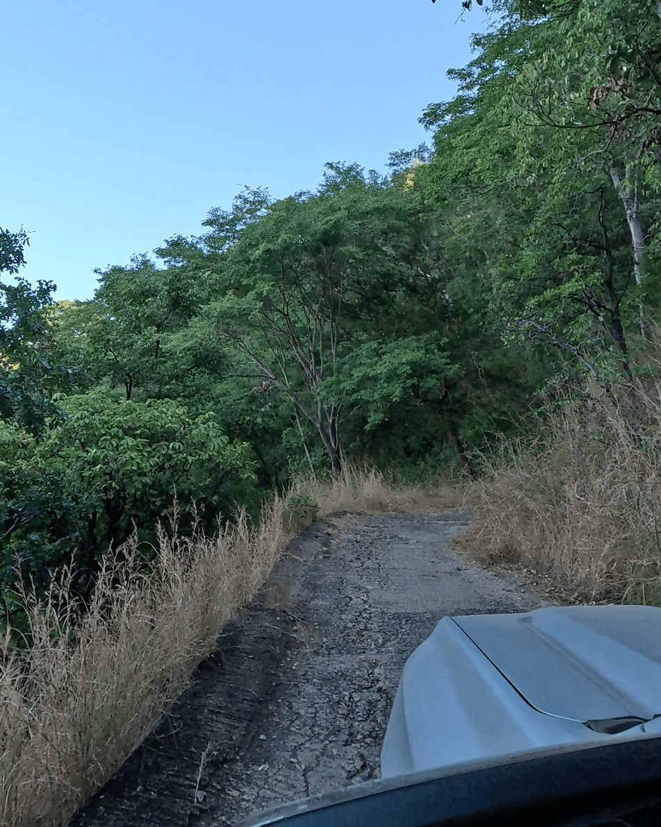
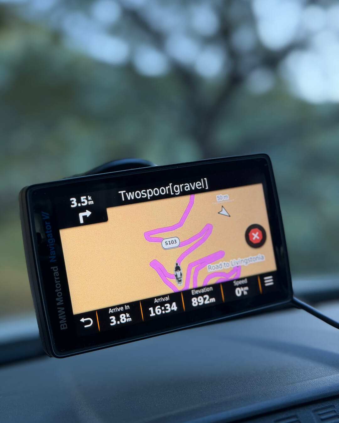
Another beautiful stretch to travel is the S127 from Golomoti, which took us from the lakeshore up to the Dedza highlands. It’s a little over 30km long, but you climb around 1,000m and the views are spectacular: dramatic mountain scenes and sweeping views of the lake. Not many self-drivers seem to know about this pass – for us, it was the best road of the trip. It would be wonderful for adventure bikers.
Notes about driving in Malawi
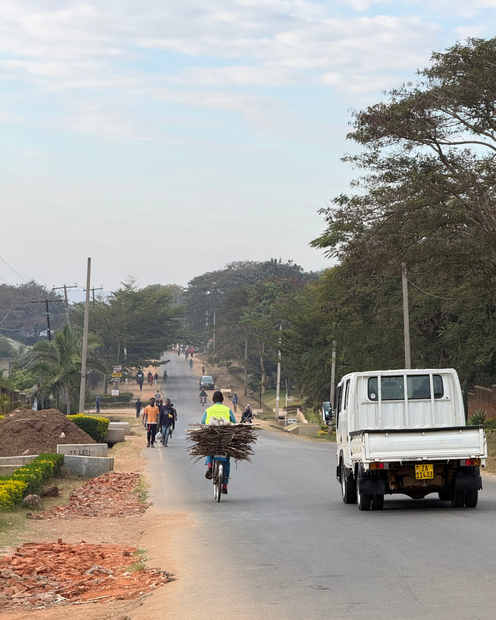
Don’t expect to go faster than 80km/h, even on a high quality road. The country is densely populated and – aside from the main road users like trucks, minibus taxis and motorcycle taxis – you’ll encounter bicycles, people, donkeys, livestock and dogs. There’s no real demarcation between the road and the roadside, so villages tend to bleed into the traffic area. Driving calls for all your concentration. Don’t even consider driving after dark.
You’ll come across a village every 50km or so and these typically have police controls. The officials are unfailingly warm and hospitable, they’re not looking to extract a bribe, but the stops will slow you down. Travelling 200km a day is realistic as this could take anything between four and eight hours depending on the road conditions. In general, plan more travel time for traversing Malawi and allow yourself the leisure of multiple stops. You’ll see more and you’ll have time to recover from the intense focus of driving.
Money matters
Travellers need to use US dollars – it’s not possible to get Malawian kwacha as foreign currency from a bank outside the country. One of the subjects which overlanders should be aware of is that there are two distinct exchange rates in the country.
The current rate of exchange at a bank is about 1,760 kwacha for one US dollar. But if you exchange on the black market, you can get up to 4,000 kwacha for one US dollar. At the official rate, you will find everything in Malawi very expensive. And if you pay for things on your credit card, you are in for a shock when you get home. Before we got a handle on costs and payments, I used my credit card at a coffee shop. It came to a whopping R400 for two cappuccinos and two mineral waters. Most people find a way to work around the official exchange rate and you don’t have to exchange your money illegally either.
One solution is to use Mukuru, the money transfer service, and withdraw the cash in Malawi. You will get more than twice as much as you would through the bank’s official exchange rate. Note that the company levies a service charge, but even with this you will end up better off. You could also combine Mukuru with mobile money if you don’t like carrying cash. Just transfer funds from your Mukuru account to a Malawian mobile. If you are using the service to pay someone directly, you should factor this into the amount you convert and transfer. But it’s easy to get your own SIM card in Malawi – all you need is a passport – and then making cellphone to cellphone payments becomes a possibility. Just ensure you register your details correctly: the information connected to your SIM should match your passport.
Good to know
Malawi has only two seasons: rainy and dry. It tends to be warm throughout the year, although in higher-lying areas like Nyika, it gets a lot cooler (max 20°C in winter, cold at night). The best period to visit is from the end of April through to September.
Allow 2-4 hours for crossing the border into Malawi. It takes time to visit the various offices and obtain third-party insurance (compulsory from border post). Your vehicle should have a ZA sticker and red warning triangles. A Carnet de Passages is recommended; alternatively you can obtain a Temporary Import Permit (TIP). For this you need a certified copy of the vehicle’s registration papers and letter of authority if the driver is not the owner (e.g. if under finance).
When dealing with agents at the border – or transfers, guides, etc – agree on the rate up front.
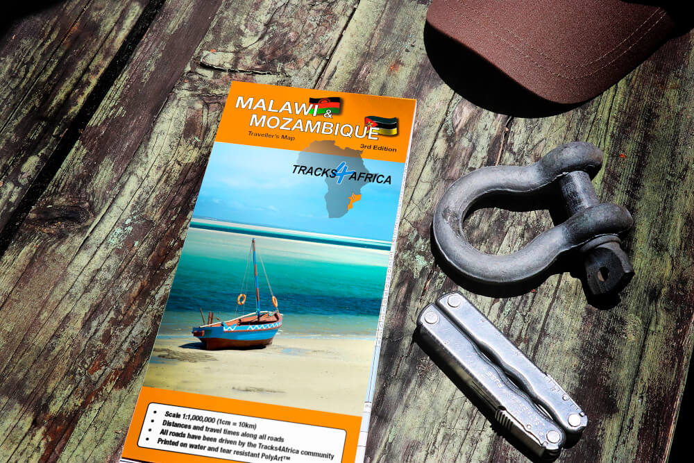
From trip planning to navigation, the Malawi & Mozambique Traveller’s Paper Map enables you to overland with confidence. Recently updated, edition 3 features places to stay, attractions, traveller services and border posts. This map provides distance and travel times for the entire road network – tar, gravel and sand.
About the overlanders
As Karoo Biking, Jürgen Mueß and Menzi Cele organise and guide custom tours on BMW bikes across Southern Africa. They manage bike hire, accommodation bookings, guided excursions and more. Although the Karoo’s empty spaces are a favourite, they regularly travel from Cape Town to Nairobi. They spend a lot of time on roads ranging from good gravel all the way down to deeply challenging, but can imagine no better way to travel.

Currently the road between Lilongwe and Kasungu (to Mzuzu) are in various stages of repair / disrepair. Mponela town center has got roadworks which makes movement slow. The 30km before from the Lilongwe side to Chinkoma village is currently dug up and the temporary road (gravel) with plenty of bumps are in use until they finish the completion of the road. The road from Chinkoma to Kasungu will probably be next on the list for repair but in certain places there is little space for passing and with big trucks vehicles need to pull of to the side to pass each other – this is all the way into Kasungu.
Thanks for these updates on the stretch between Lilongwe and Kasungu.