As if visiting Zambia at the start of the rainy season isn’t adventure enough, Pieter de Waal also explored the little known Mango Route. With not much more to go on than the name and general location, he set out for this route along the Zambezi’s western bank.
Pieter shares his trip report:
The essence of a trip for me has always been about seeing new things and having new experiences. That doesn’t mean bungee jumping or diving with sharks though. Stretching the limits a bit further than the reasonable man is good enough for me and my wife. So it was with our trip to Liuwa Plain National Park in the northwest of Zambia.
When planning a trip I tend to gather all sorts of snippets and titbits and try to work them into the programme. This is how I came across the Mango Route. Unfortunately, I couldn’t find out much more than the evocative name. It was very hard to come by any useful info on an actual route. But our Zambia trip would give us an opportunity for closer investigation.
Impressions of Liuwa in the summer
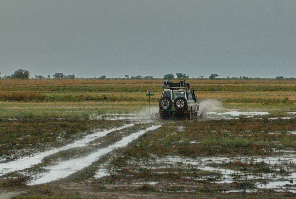
Common knowledge says you must be out of Liuwa by the end of November. That’s when the rainy season starts and it does so with a bang. Quite often tracks will be impassable (in or out) within days. If it starts raining in Liuwa, you pack up everything within a day or two and leave.
But we could get to the park by 18 December only. Accuweather kept on saying it would start raining the day after Christmas and it did with a vengeance. Four days later we were out of the country. Even though we had wanted to visit some more places, the amount of rain was simply overwhelming.
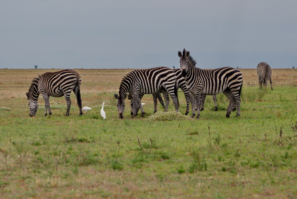
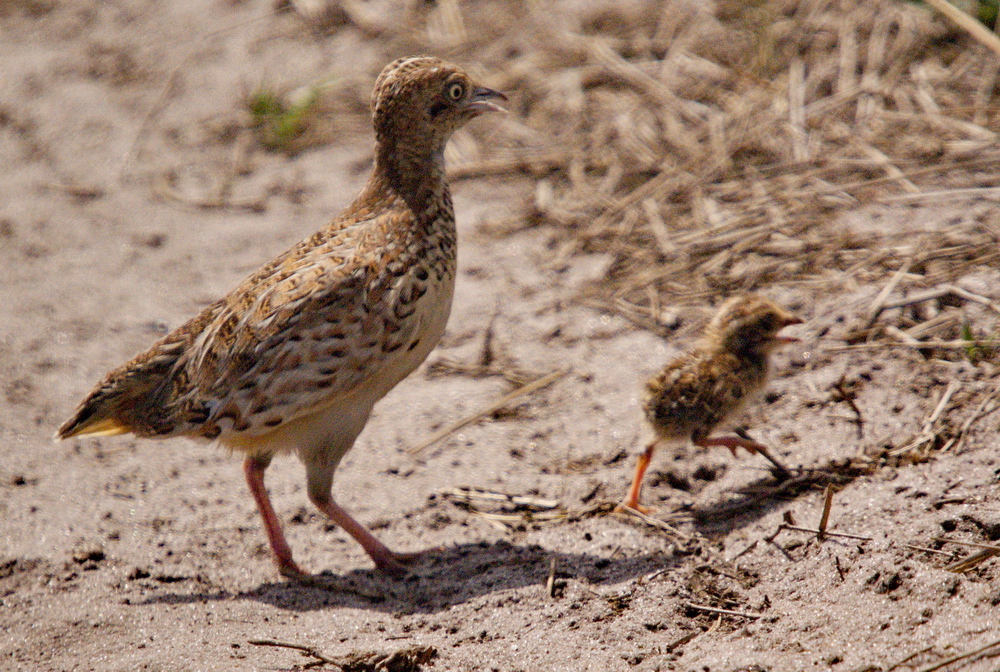
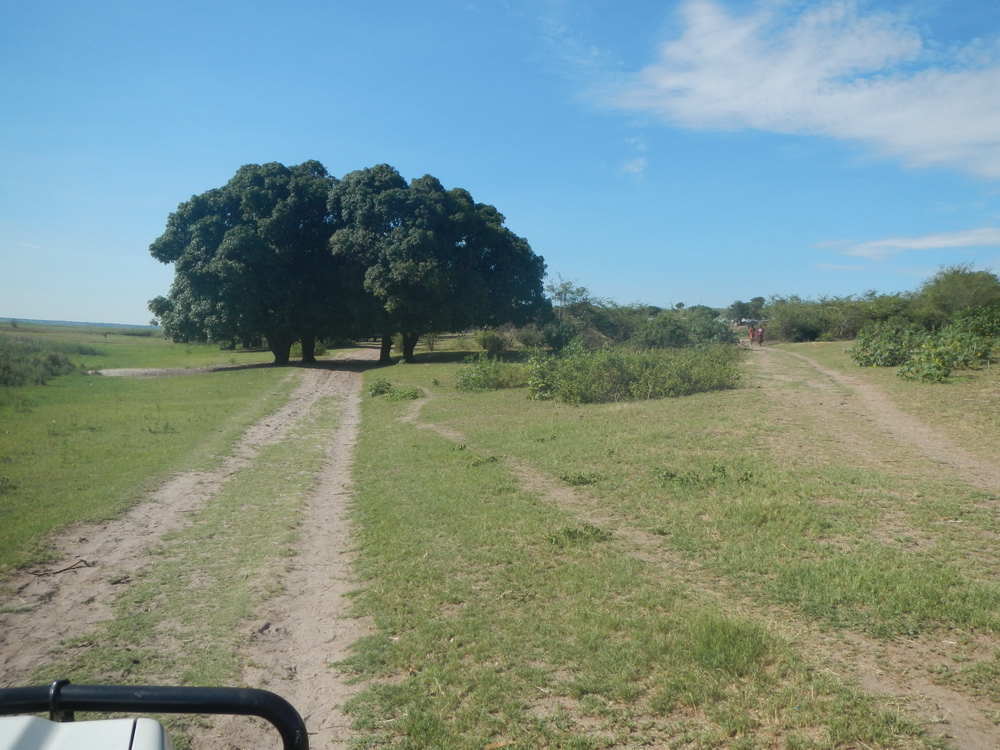
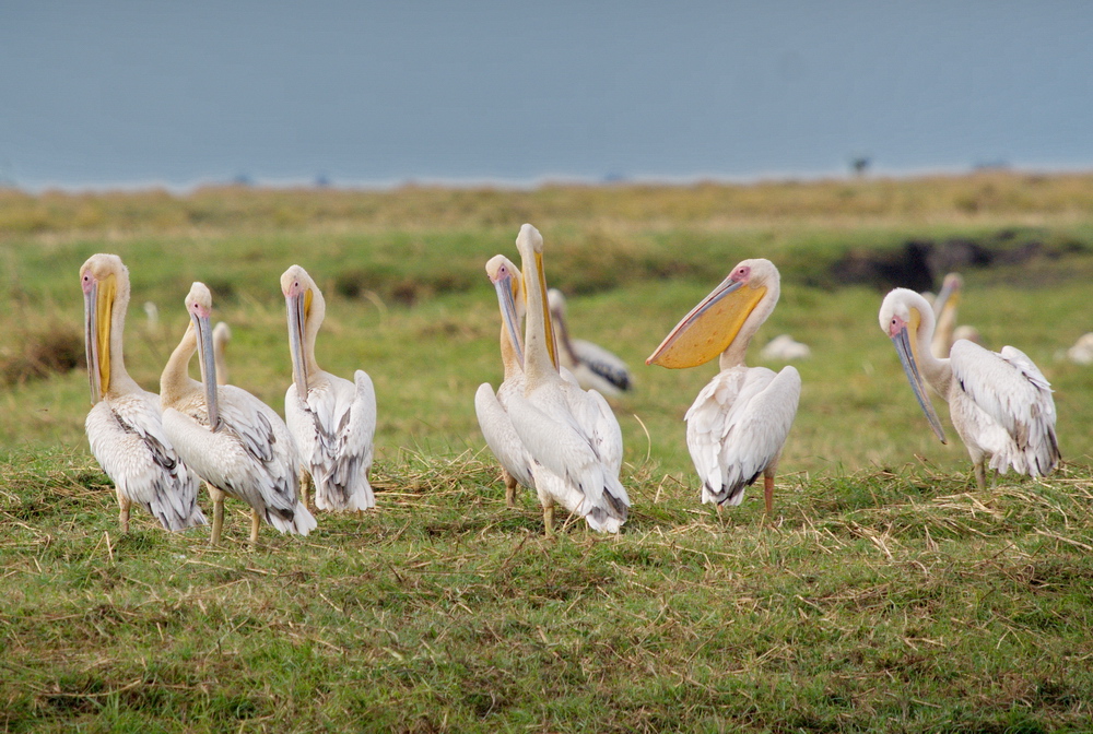
Fortunately, before the rains came down, we had time to explore Liuwa. On the plains there are virtually no trees. As a result, spaces suited to perching and breeding are prime property. This meant we saw vultures mostly on the ground. Swallows, eagles and quite a few others perch on small anthills all over. We also saw more than one pair of fish eagles in the same tree. It seems even these majestic raptors relax their idea of territorial space when necessary.
Tracking down the Mango Route
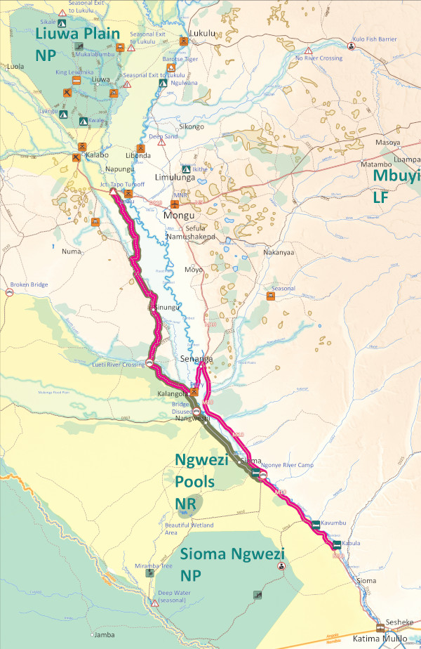
Getting to Liuwa used to be a hard drive of 4–5 days up to Mongu, followed by crossing the Zambezi to Kalabo. (And that was the easy route!) But with the new roads you can do it in a day from Katima Mulilo. My take is that the old route to Liuwa through Barotseland is what is now known as the Mango Route (see map at the end). It must’ve been the original way to get to the Liuwa Plains long before the Mongu option.
Before the bridges and ferries you had to stay on the western side of the Zambezi if travelling up from Katima. Then the ferry at Kalangola opened up the route to Mongu. Today there is very little development on the western side. No towns to speak of, no fuel, no roads, only a few tracks and some very rural villages. Most of the inhabitants on the Zambezi’s western bank survive by fishing the river and raising some cattle.
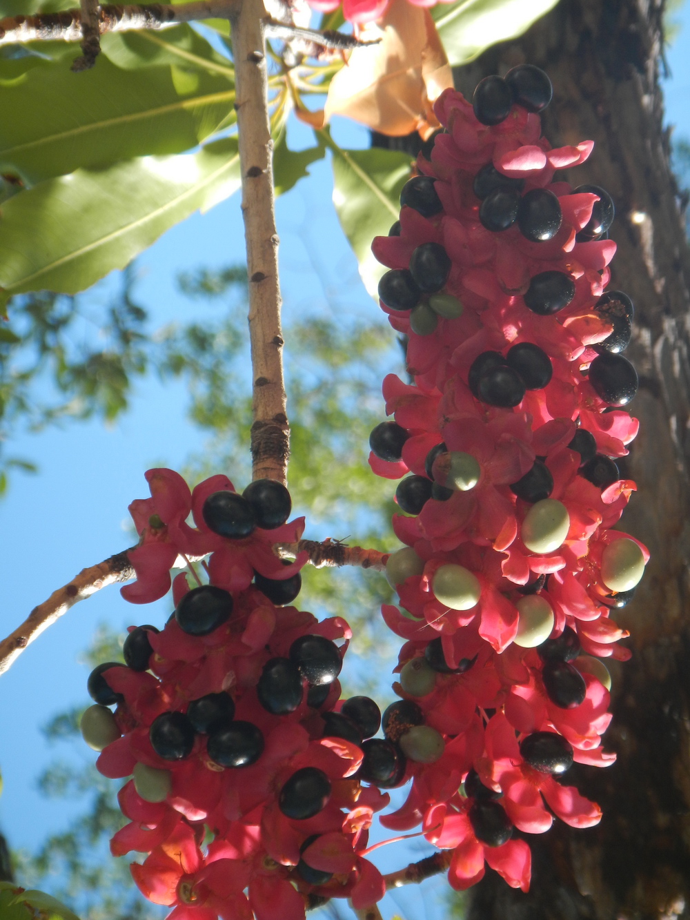
Throughout Zambia you’ll notice the interesting phenomenon of huge mango trees at every village. This particular route to Liuwa runs all along the western bank of the Zambezi past several little villages. So as you pass the villages, you also drive past countless mango trees, hence the name of Mango Route.
What to expect
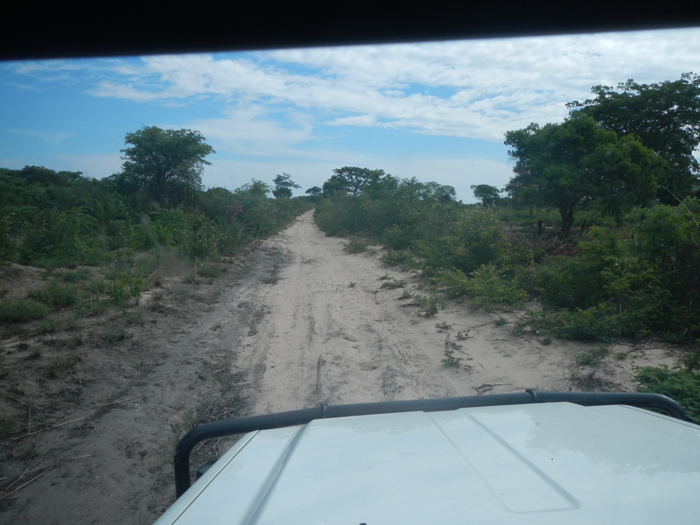
For long stretches you drive close to the edge of the river and its floodplains. The road is along an embankment and the views of the floodplains are spectacular. You also drive through some beautiful natural forest.
For the most part the Mango Route is like a rough (new) cutline that follows the electric supply line a kilometre or so from the river. The tracks that go past the villages along the water edge’s are effectively loops from this main route. They are also the most scenic part. I would guess the original full route along the river is now too overgrown to follow. The condition of this ‘road’ varies from an easy track to a challenging one to killer sand to uncharted territory. It is rather slow and heavy going in many places.
Driving the Mango Route
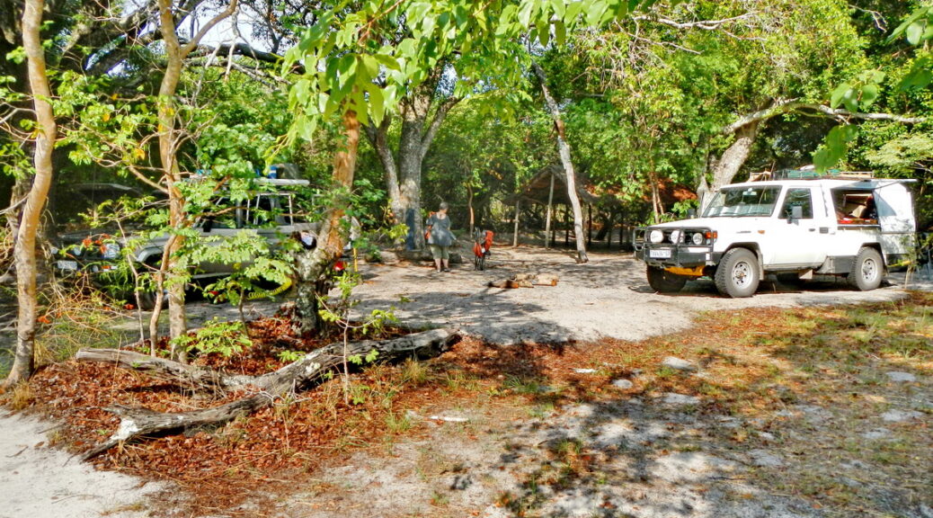
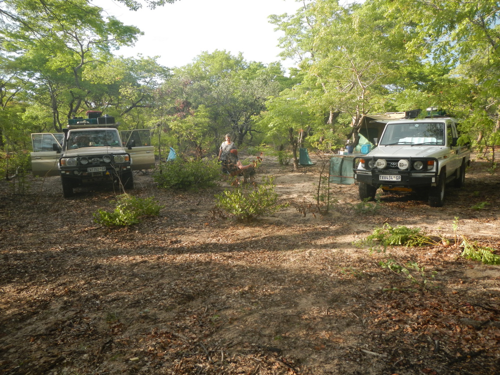
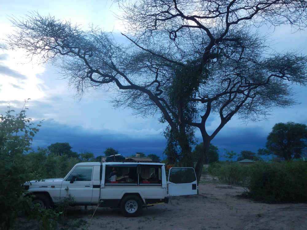
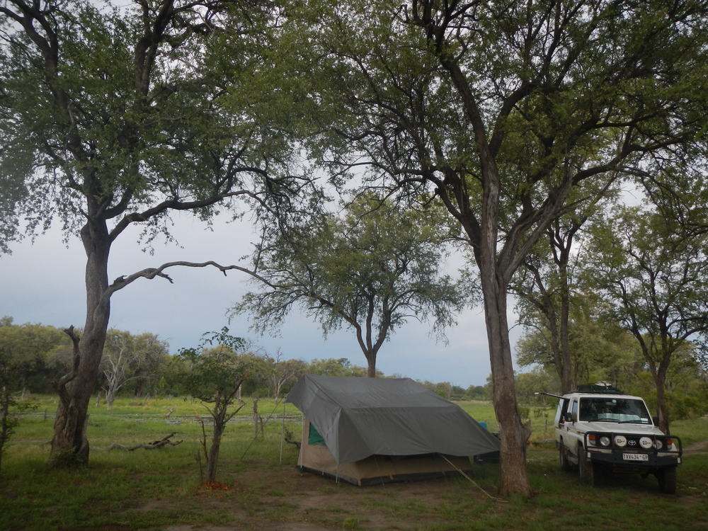
We drove the Mango Route from north to south. First we had driven to Mongu to fill up as we had no idea where the next fuel would be nor the condition of the track. We were also facing the possibility that we might have to turn back after a day and a half if the South Lueti River proved impassable. The turnoff from the main tarred road is close to the floodplain at Tapo (S15 10.831 E22 50.341). Do not expect any sign boards. Instead, look out for the electrical supply line. Tracks4Africa has a good set of tracks of the area. We opted for wild camping in a natural forest where there was no sign of human activity, both on Tracks4Africa and in the real world.
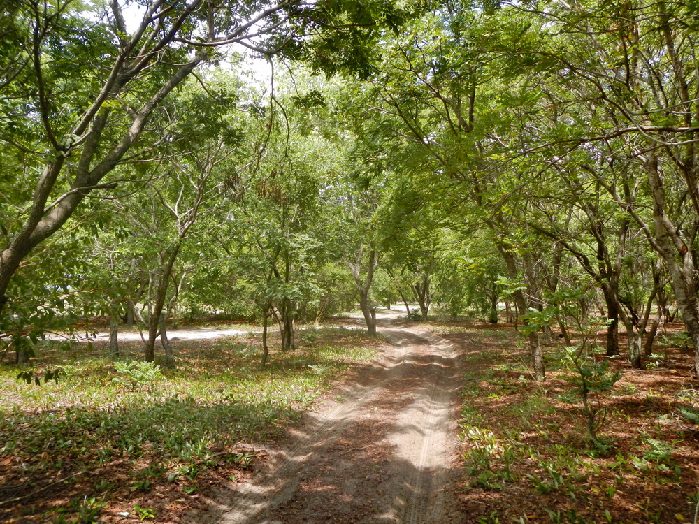
Along the way we saw some trees bearing fruit that we had never seen in South Africa. The Mango Route winds through a beautiful area and the loops past the villages were well worth the detours. The mango trees were absolutely stunning and everything was lush and green. In places the tracks were so overgrown that the vegetation almost touched in the middle. Do not drive this route if you are squeamish about bush rash.
The villages themselves also struck me as remarkable. Unlike settlements in most other parts of Africa I have visited, these villages feature rectangular huts. The residents tend to build a reed fence around the perimeter of their property, some with gates. I also noticed little outhouses or long drop toilets fenced with reeds. These are all rather exceptional in the really rural villages that I have seen in my lifetime.
Crossing the Lueti River
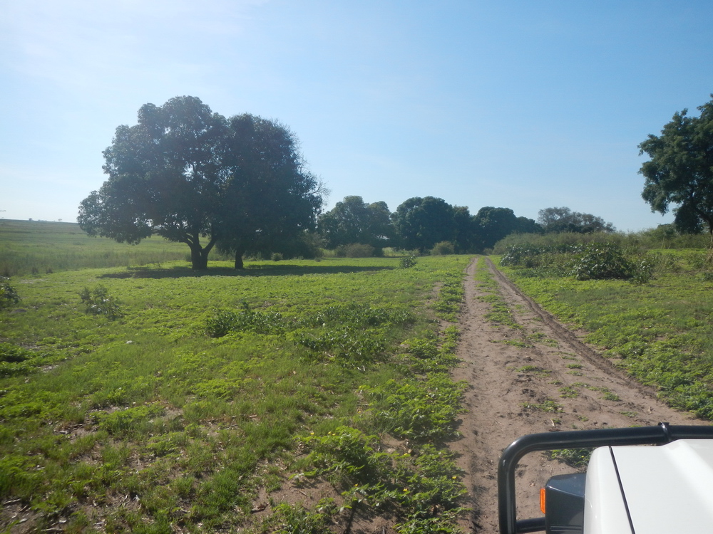
The lower part of the Mango Route brought us closer to the Lueti River, with some beautiful pans and forest along the way. Then we got to the Lueti River, which has its own floodplain and stunning scenery. We were relieved to find an elevated causeway and proper bridge over the river. No need to worry about turning back after all. From here onwards it is an official road to the south, although still very sandy and rough in places.
Next we headed towards the old ferry at Kalangola. If it was operating, we could get more fuel at Senanga to explore the southern parts closer to Katima. But this meant we skipped the southernmost part of the Mango Route. This stretch consists of further unmaintained gravel roads and what is indicated as a dysfunctional bridge on the west side of the Zambezi. The Mango Route meets up with the new tarred road just south of Ngonye/Sioma Falls.
After crossing the Lueti and going some way down the track, we suddenly came upon a lovely gravel road. The start of this road was also marked by huge logs cleaned for transport. I suspect this to be Chinese logging of the local forests. Because of this, I also suspect the dysfunctional bridge may have been fixed. Zambia is a country of trees and termites and all over we noticed these forests are fast disappearing. It seems a huge part of this wonderful wood source is simply going into charcoal.
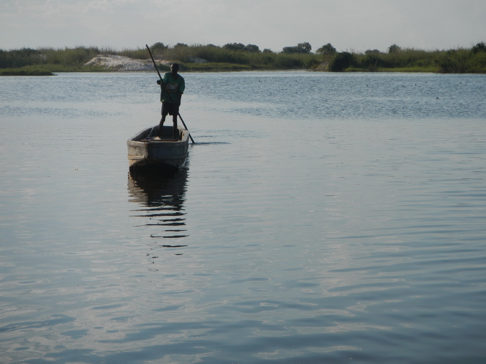
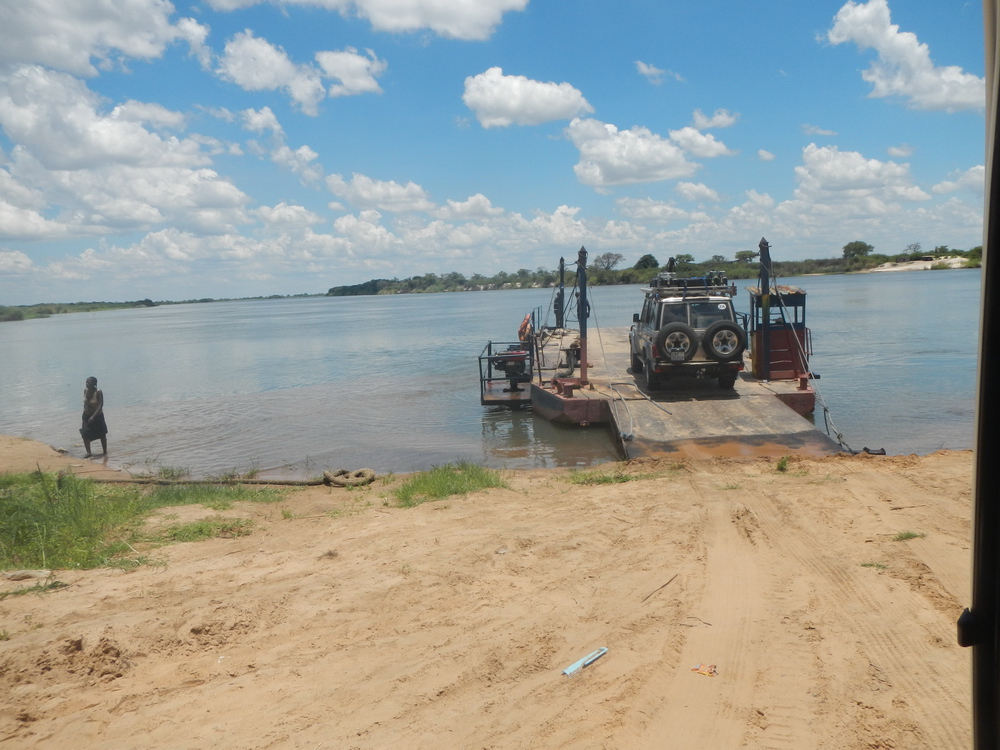
The Kalangola ferry
When we got to the Kalangola ferry, we were pleased to find it operational. Another big worry for nothing. We stayed at Kabula Lodge on the way up and down. What a nice place to use as a stopover and base for explorations. We never got to some of Zambia’s southern jewels as the amount of rain by then simply made it impractical. At the time a huge weather front extended all the way from KwaZulu-Natal past us and into Angola.
The Mango Route took us two days from inside Liuwa to Kabula. You will even have time to linger in some places. For us, average speed on the Mango Route was around 25km/h. Overlanders should note that in Kalangola, we could not pay for fuel with a card. We had to draw money at the bank across the street.
Going home through a very wet Moremi
While some of our party went straight back to South Africa from Kabula, my wife and I decided to drop in at Moremi. We wanted to experience it in the wet and what an exceptional experience that was. We stayed over at Thobolo’s for one night, a new place for us that impressed with its quality and surroundings. In Botswana, from the Ngoma border post down to Savuti, we found taking the little detours away from the cutline main road was much more interesting. Sort of sticking much closer to the Namibian border.
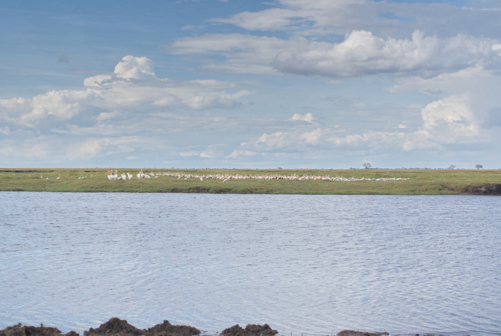
We also found the pool with storks we had read about some weeks earlier on Facebook. In fact, the storks were actually pelicans in an area where they are seldom found along the Linyanti River. Although we could not get close to the pelicans or the hippos, I got ‘close-ups’ on my camera. I used a 1600Mp camera with an effective focus length of 1500mm. Not bad for old technology!
Birding at Mbudi
Our next stop was Mbudi, just outside Moremi. We never even entered the park as we had enough to see where we were. I could easily have sat at the campsite all day with the bird- and wildlife that was all around us. Fantastic photo opportunities. The campsites are metres from the water’s edge of the Mbudi River. The natural sounds of the birds were such that I considered turning the volume on my ears down. Luckily, no Hadeda included as at home.
At Mbudi, I got the best shots of Dwarf geese ever. About five of them were feeding and preening right in front of us, just 10m away. These impressive little geese are notoriously difficult to get within reach of, even with a long lens. We also had Kingfishers interacting with each other metres away from us, Open billed stork digging up snails and a Brown snake eagle swallowing a snake at close quarters.
Navigating pools and pans
During the four days we were there, we had some serious thunderstorms. We were out close to the Khwai River one day when it started pouring and we had to find a new route back. At one point we had to find a detour around a hippo lounging in a pool where an hour earlier we had driven through on dry land. Everything that looked like a track or indentation was filled to the brim with water. Large areas formed pans making it impossible to determine where the tracks were and we simply had to find a way around the whole area.
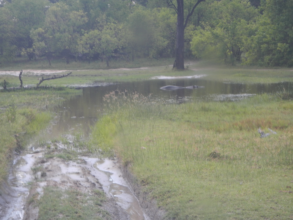
Because it is very sandy in this area, we weren’t worried about getting stuck in mud. Our main concern was the depth of the water. Two hours later, the area was back to normal with just a smallish pool here and there in the tracks. My advice is to stay away from the main tracks, however, as some of those pools are quite deep and muddy as well.
Just this side of Martin’s Drift we discovered a gem for overnighting: Big Fig Oasis. Set some time aside for a bit of garden birding here, it was spectacular.
The verdict
All in all, by going outside conventional times and looking outside the box, we saw and experienced much more than on a standard trip. After 40 years, my wife still looks forward to going on the next overlanding trip. Her take on it is that we do not go on holidays, but rather experiences. The time and effort spent on planning and doing homework beforehand pays off handsomely.
Map to the Mango Route
The map below shows Pieter de Waal’s tracks in magenta on his way home. The Mango Route roughly runs between Tapo and Sioma. The southern section indicated in brown wasn’t driven on this trip.
Meet the overlander
Adventurous Pieter de Waal still remembers his first night in a tent as a boy: sleeping under canvas and getting soaked when a thunderstorm hit. Yet the experience ignited a passion for the great outdoors. His first 4×4 trip out of South Africa was into Moremi in a hired Hilux in 1986. Since then he’s tried to fit in at least one cross-border adventure a year. Over the years he’s developed a touring setup that is particularly well suited to remote camping. After retiring, he’s turned it into a business and he now builds unique accessories for overlanders as GeesmoOutdoor.co.za.
