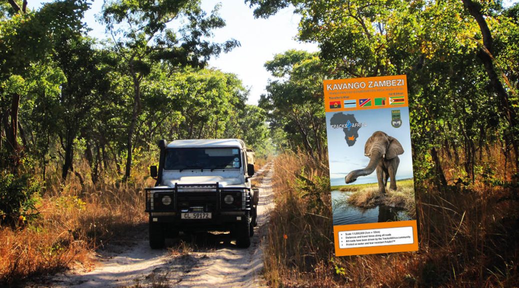
As the world’s largest transfrontier conservation area, Kavango Zambezi (KAZA) is home to remarkable natural beauty. The Tracks4Africa KAZA paper map is the key to unlocking it and discovering underexplored places.
Elephants don’t care much for park boundaries and country borders. For centuries on end they’ve followed their own migratory paths, in sync with the changing seasons and water availability. Today, those natural instincts see some elephants making their way from Zimbabwe to Botswana. Others cover hundreds of kilometres, moving from the Okavango floodplain and through Namibia’s Zambezi region into Angola. It was to protect elephants – and other wildlife – that five countries banded together in 2006 to establish a transfrontier conservation area (TFCA). The Kavango Zambezi TFCA is huge, larger than the countries of Germany and Austria combined. And while elephants don’t give a fig about a map, the overlanders who want to see them do. Our new Kavango Zambezi Traveller’s Paper Map is the first KAZA map to show you the roads for exploring the TFCA.
The story of transfrontier conservation
Transfrontier conservation areas first came to the fore in the 1990s. These cross-border protected areas allow animals to move freely while enabling governments to collaborate on conservation and regional tourism development. Because TFCAs make it possible for animals to spread out naturally, they relieve local pressures and ease human-wildlife conflict. “They also create more open movement and access for tourism,” says Nick Tucker of Boundless Southern Africa, the SADC initiative to grow tourism in TFCAs. “Tourism is one of the top contributors for conservation and wildlife protection. It also brings jobs and opportunities to isolated communities.” With its establishment in 2000, the Kgalagadi Transfrontier Park became the first TFCA in Africa. Since then, several other TFCAs have been added, but KAZA is the biggest and boldest of all.
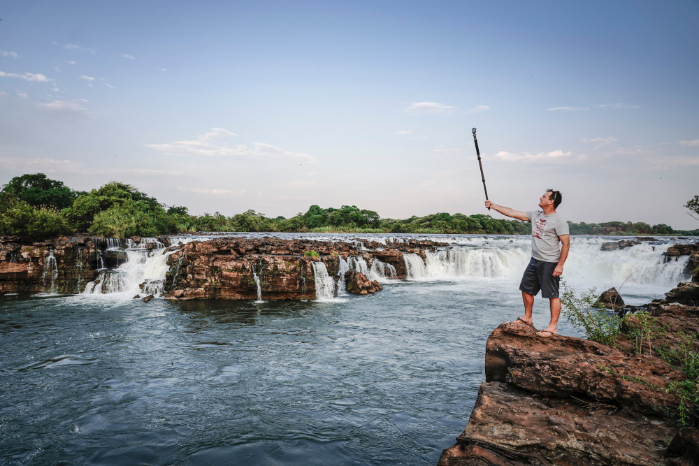
KAZA stitches together a treasure trove of conservation areas across Angola, Botswana, Namibia, Zambia and Zimbabwe. Within its confines, there are 36 proclaimed protected areas. The magnificent Okavango Delta and the spectacular Victoria Falls, both UNESCO World Heritage Sites, are probably the most famous of these. But there are many more natural wonders to explore. Across 519,000km2, KAZA encompasses an incredible range of biodiversity. The rivers that lend their name to the TFCA create dramatic waterscapes. There are vast stretches of savanna and marshland as well as forest and woodland. And in these unspoilt spaces, wildlife has an opportunity to thrive.
The importance of a KAZA map
For those responsible for spreading the word about the Kavango-Zambezi TFCA, the map is a gamechanger. How do you tell people about a place if there’s no map? The new Kavango-Zambezi Traveller’s Map is essential for visually representing the TFCA in its entirety. Previously, overlanders could consult individual Tracks4Africa country maps, but the KAZA map brings them together in one.
In fact, the new KAZA map does double duty. It not only illustrates the scope of the conservation initiative and how the individual parks are connected. It also tells overlanders how to get to these wild places, opening up the possibility of trips to lesser-known parts. While a lot of travellers go to the Okavango Delta, they might not realise that it is surrounded by a much bigger conservation area.
That’s why it was important to have a paper map, explains Nick. “If you look at a map on a screen, like your GPS unit or Google maps, you have a small visualisation of what’s there.” You don’t see that Mudumu National Park in Namibia is near Botswana’s Chobe National Park. Or that Sioma Ngwezi National Park in Zambia lies across the border from Mudumu.
Within KAZA’s boundaries lie iconic parks like Chobe and Hwange that are already celebrated destinations. But there are plenty more gems to be discovered.
Lesser-known KAZA parks to explore
Which of the protected areas within KAZA should be on your radar as an overlander keen on exploring off the beaten track?
“Khaudum National Park is known as one of the last true wildernesses on the continent,” says Nick. Located in the far north of Namibia, just west of the Zambezi panhandle (previously Caprivi strip), it is truly isolated. If five vehicles enter this park on any one day, it is considered busy. Therefore you must travel as a minimum of two vehicles together. If you break down, it could be days before someone else passes. But the remoteness and stark beauty of Khaudum feed the soul. It is also a great destination for elephants and other big game.
Things are happening in Zambia’s Kafue National Park, where the Kafue River supports abundant wildlife. The sheer size of this enormous park makes for varied experiences, from game viewing on the Busanga Plains to water safaris on Itezhi-Tezhi Dam. Since 2022, African Parks has co-managed Kafue and is developing roads and infrastructure to improve accessibility. African Parks is also hard at work in Matusadona National Park on the shores of Lake Kariba in Zimbabwe. The campsite facilities here are excellent and a tented camp is under construction. With a landscape that includes rolling hills and shimmering water, Matusadona is renowned for its beauty.
Bwabwata and Mudumu national parks in the Zambezi region of Namibia are also well worth visiting. And thanks to the Ngoma Bridge Border Post, they can readily form part of a trip to Chobe. Even though good roads make these parks easy to access, they still retain their sense of solitude.
The lure of the undiscovered
There are intrepid overlanders following in the tracks of the elephants that are moving up into Angola. According to Nick, this country is attracting a lot of interest from adventurous travellers. For them, the KAZA paper map is indispensable for trip planning. African Parks, which has extensive experience in the area, provided much of the road information.
Keep in mind that there are active landmines in this country. This makes the KAZA paper map even more important for exploration. “If you come across a road that isn’t on the map, you probably shouldn’t take it,” says Nick.
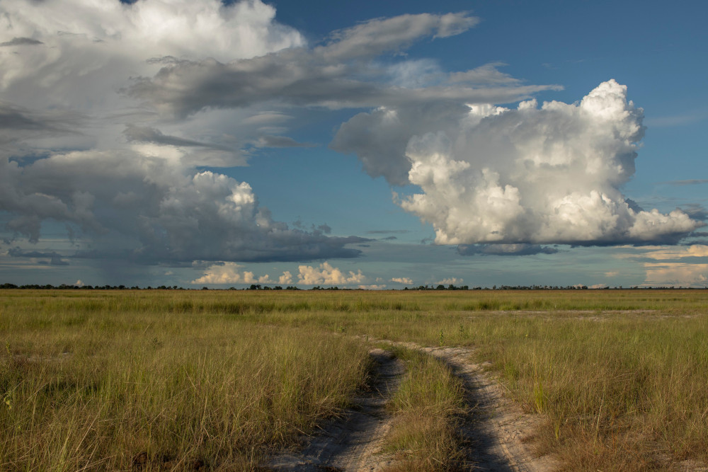
If you’re one of those travellers that enjoys getting off the beaten track, there’s no question that this map has you covered. But a quick glance at the road network shows that you don’t have to be an experienced offroader to explore KAZA. There are still plenty of roads you can drive in a normal sedan.

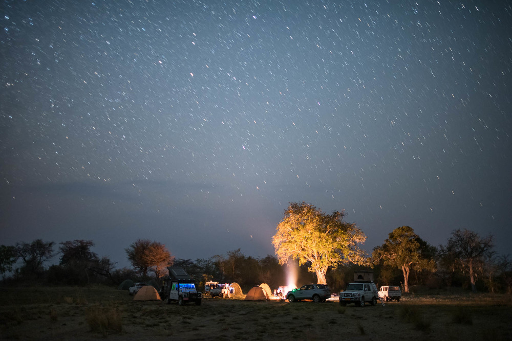
Do you want to self-drive the region that is home to Africa’s biggest contiguous population of elephants? Would you enjoy exploring areas with a high diversity of wild animals and birdlife? Can you see yourself pitching your tent in places where few others dare to go? Would you like to plan a trip that leads through wild spaces in several Southern African countries? We are giving you the map to do so.
What you can expect from the KAZA paper map
The Kavango Zambezi Traveller’s Map covers the entire KAZA TFCA as well as major centres – Bulawayo, Harare, Lusaka and Windhoek – that fall outside the confines. This makes it easy to plan access routes for overlanders coming from outside KAZA’s boundaries. The map shows border posts with their operating hours, as well as points of interest relevant to self-drivers. The road coverage extends from tar roads and major gravel ones to offroad routes and even hiking trails.
Just like other Tracks4Africa maps, the KAZA paper map not only shows distances between points, but also actual travel times. All roads have been driven by the Tracks4Africa community, so you can explore with confidence. A distance and time table shows what it takes to travel between significant towns in the region. This makes trip planning much easier.
The KAZA paper map uses a 1:1,000,000 scale where 1cm = 10km. It is durable enough to take on the road again and again thanks to the water- and tear-resistant PolyArtTM paper. We wish you many happy hours exploring the incomparable KAZA region.
Get the new Kavango Zambezi Traveller’s Paper Map from the Tracks4Africa online shop or at an outdoor retailer.
