Help others travel Africa informed by uploading your trip photos to our online database.
On a rest camp’s website, do you click the gallery tab straightaway? Do you look to Instagram for the best places to visit? When it comes to travel, most of us want to see what awaits us with our own eyes.
That’s why we’d love to see pictures from your travels across the continent. The reason why Tracks4Africa is considered the go-to route finder for travellers in Africa is because we source our travel data from people like you who want to pay it forward to the self-drive community.
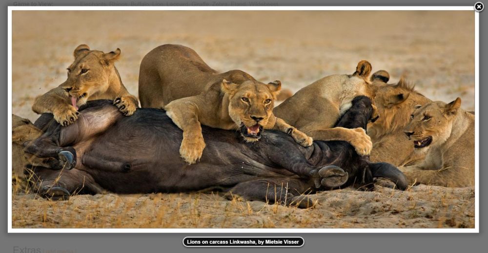
One of the easiest and most helpful ways to contribute is by sending us your trip pictures. User photographs are a popular aspect of Padkos. This is our online, searchable database that contains a webpage for every Point of Interest (POI) featured on our GPS maps.
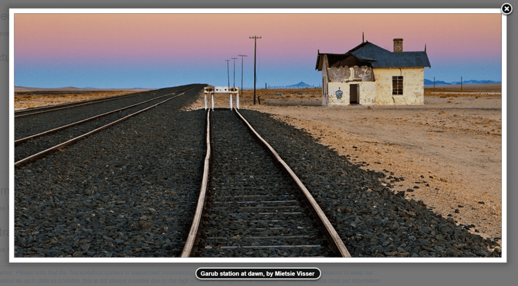
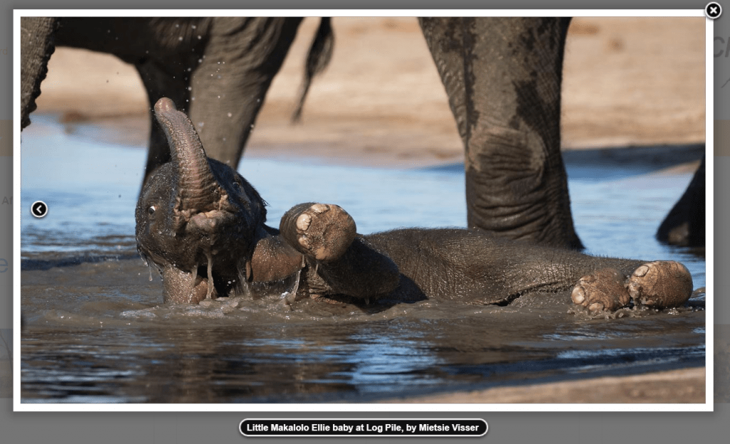
Pictures have the power to transform a data entry from dry text on a screen into a vivid snapshot of someone’s travel experience. They provide context and add credibility to the information given. They also help to increase a listing’s exposure on our platform, which is good news if you want to share a gem with other travellers or want to list your business as a POI.
T4A stat: At the time of writing, there are 169,364 listings and 40,659 photos featured on Padkos!
Also read: How to contribute data to T4A, Part 2: Useful traveller info
Photography guidelines
Choosing a subject
Not sure what to photograph? In short: everything! We especially like photos that give an authentic depiction of a place so that T4A travellers reliably know what to expect. The less photo-shopped and ‘real’ a picture is, the better.
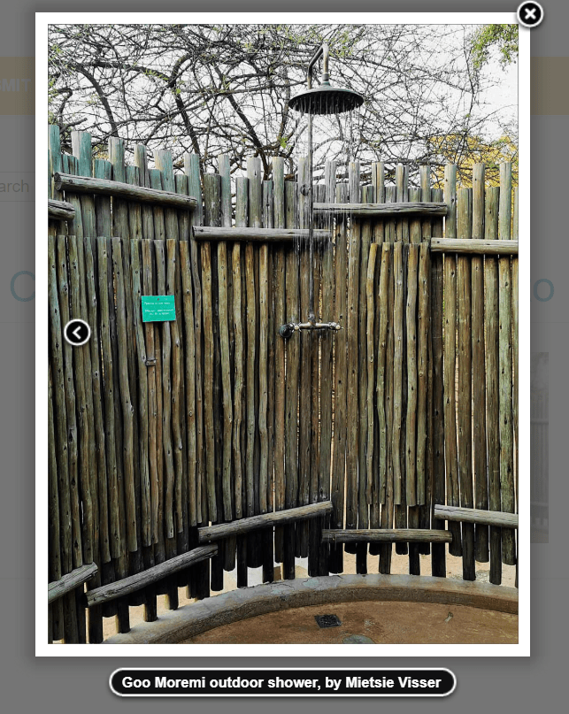
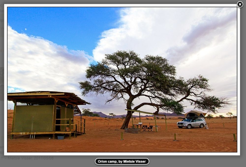
For campsites, we urge you to zoom in on the facilities. People want answers to questions like: What does the camping area look like? Are there power points? What’s the ablution set-up? Focus on the practical considerations that can make or break a camping experience.
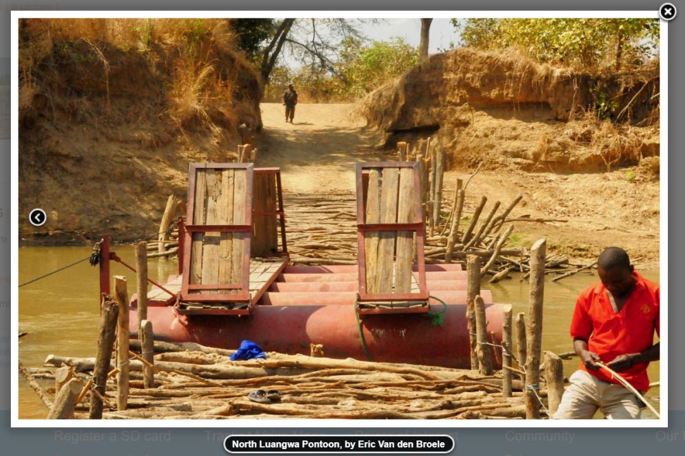
Overall, we welcome photographs of just about anything related to a POI listing on our GPS maps. Feel free to add cultural ‘people pictures’ too, provided the subjects gave you permission.
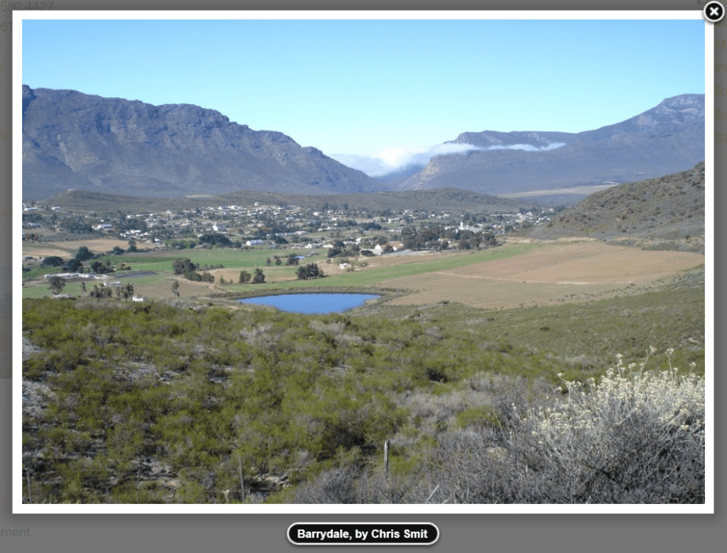
NB: We don’t receive many pictures of towns, villages and cities. If you can capture the atmosphere of a place, notable landmarks, or even just the main road of a village – it would help us and other travellers immensely! Panoramic views are also a win.
Staying organised
When travelling and taking photos along the way, remember to keep tabs on which photo is associated with which place so that you don’t accidentally mismatch a POI listing with the incorrect photo.
One way to do this is to create visual markers in your photo list so that your photos are sensibly organised when revisiting them later.
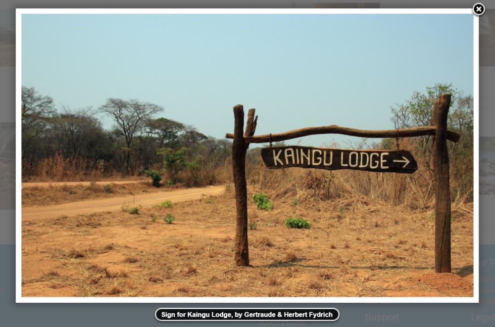
For example, if you’re shooting Augrabies Falls, first take a picture of the signboard to serve as a bookend for the pictures that follow.
Alternatively, you can organise your pictures on your PC in such a way that the dates and times of your stay in a location correspond with the date and time stamps on your photos.
Garmin Basecamp has a function which allows you to match your photos to the tracks on your GPS. Learn how to do it by following these steps.
Whichever way you go about it, we strongly urge you to put measures in place to ensure your photos accurately reflect the listing.
Also read: How to contribute data to T4A, Part 1: Tracks and waypoints
How to upload pictures
Step 1: First, Register as a member of our online community
Step 2: Log in and go to the listing’s webpage
Step 3: Scroll down until you see a sub-heading labelled “Pictures”
Step 4: Next to that heading you will find a link saying “[add a picture]”. Here you can upload up to five pictures at a time.
Step 5: Alternatively, email your travel pictures to research@tracks4africa.co.za
Finding a POI
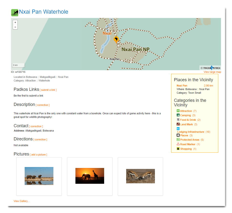
To find a listing, do a name search on our website under: “Search the map of Africa” by entering the name of the place you wish to upload a photo for. There’s a chance our POI name might be spelt or formulated differently to yours, so we recommend that you only include part of the name in your search to yield the most results. For example: to search for Nxai Pan Waterhole in Botswana, it’s best for search for “Nxai” only.
Another way to identify a listing is to search for the POI by its “Spatial ID” instead of its name. Each POI on our GPS maps comes with unique identifier – a code starting with “w” – that is visible on your Garmin. For example, Nxai Pan Waterhole’s Spatial ID is w150716.
Typing in the code will give you a 100% match for the POI’s listing on our website.
Need to know
- Photo files should be no bigger than 6MB
- Resize them to about 1MB if possible. You will save on bandwidth and uploading will go faster.
- Avoid using strange characters in file names. This can cause an error in the upload process.
- Be sure to include a caption that describes the photo.
- If you are uploading pictures taken by someone else, you can fill their name in the “submitted by” field.
- The photos will appear on the listing once our admin staff has reviewed and authorised them.
- You are allowed to add pictures on any POI listing. For example, you can update a listing for a campsite with your own photos even if you are not the owner.
Good to know: Tracks4Africa reserves the right to use and republish any pictures and information submitted on our website across our range of products and digital platforms, including our social media channels.
Curious to see what it’s all about? Browse our online database.
