Things got a lot wilder during week 3 as Expedition Zimbabwe made its way to Kazuma Pan and Hwange national parks.
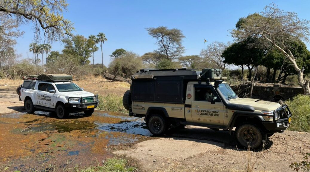
Three weeks into the trip, Expedition Zimbabwe continues to update us on the country’s overlanding destinations. As part of the circumnavigation of Zimbabwe’s national parks, the team is collecting data for Tracks4Africa and validating information for self-drive visitors.
Captivated by Kazuma
Down the road from Victoria Falls, Expedition Zimbabwe found a landscape unlike other major Zimbabwean national parks. Kazuma Pan National Park is characterised by vast grasslands and shimmering pans. What’s more, the park is home to more unusual wildlife species – tsessebe, roan and oribi – as well as predators like lion and wild dogs.
Despite its location (30km north of Pandamatenga border post and situated between Victoria Falls and Hwange), Kazuma is well off the beaten track. Perhaps that’s because the park’s roads aren’t well recorded. The Expedition Zimbabwe team has now mapped most of the main routes for Tracks4Africa.
Travel tips
Corner Pan campsite is Kazuma’s best option, with good water and a platform under construction by Bhejane Trust. When complete, it will provide an excellent vantage point for enjoying the park’s panoramic views.
Kasetsheti is closest to the park entrance and situated on a spring, drawing good game.
Road conditions
The route along the Botswana border towards Hwange leads along a cutline, probably maintained by the local hunting concession. Note that the wide cutline on the far side of the steel markers is on the Botwana side and is known as Hunters Road. Be sure to stick to the narrow winding track on the Zimbabwean side.
Into Hwange
Expedition Zimbabwe’s goal for Hwange was to gain a better understanding of the park’s lesser-known parts. There is little up-to-date information on surface water and road conditions in the southwestern section. Overlanding through this area would require hard graft, with tracks likely to be overgrown.
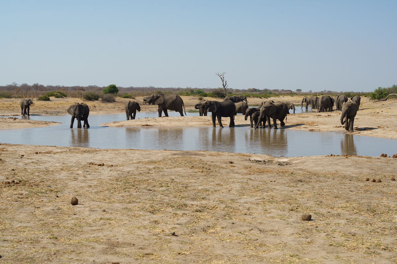
The road from Pandamatenga led to Dandari Pans, with good game sightings along the way. Heading south via Big Tom and Small Toms watering holes, the roads started to show less use – a sign of things to come.
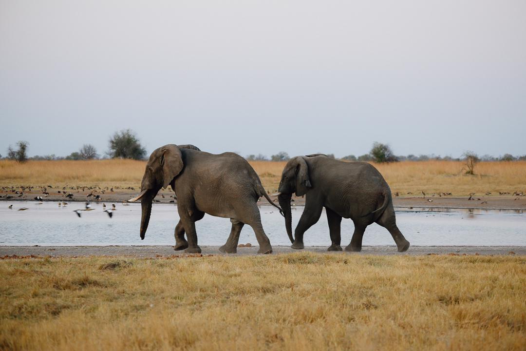
At Dandari Pans the team set up camp under large leadwood trees, where they were soon joined by nine big elephant bulls. “Sitting 50-odd metres from these huge creatures in the darkness as we quietly reflected on the day was a special highlight for all of us.”
Hard slog
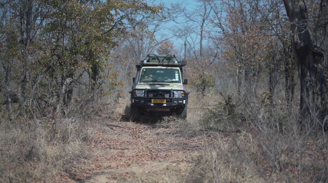
The plan had been to travel from Dandari towards Shakwanki, into the wilderness area. However, it soon became clear the tracks were close to nonexistent. After half a day of bush clearing and little progress, the team decided to push east to pick up a serviced road.
“Njekwa to Dina required all hands on deck and for almost the entire route we followed an elephant path which was once the road. Despite this we made good progress and arrived at Dina Pan for late lunch.” From there the route led south to Matambo (Nyati) Pan along a more regularly travelled road and a welcome overnight stop.
The last destination in Hwange was Secheche Pan. It is a beautiful spot where two large camelthorn trees provide good shade. The Expedition Zimbabwe team appreciated the chance to rest up after the hard slog of exploring the wilder parts. “Is southwestern Hwange accessible and worth visiting? Short answer, no. The best of Hwange lies to the north, northeast and the private concessions in the southeast.”
Road conditions
Southwestern Hwange is a huge, wild block of park with roads that exist only on old park maps. Travelling further south of Njekwa and west of Mitswiri would require huge effort: multiple vehicles, chainsaws and heavy labour.
Travelling between Hwange and Bulawayo via Tsholotsho is not advised. The old tar road has disintegrated, leaving narrow strips of tar, deep potholes and eroded dirt verges.
Travel tips
Robins Camp is well suited to families thanks to its fenced camping, swimming pool and restaurant.
Dina Pan to Matambo Pan is a beautiful drive but be prepared for long sections of deep Kalahari sand.
How Expedition Zimbabwe contributes to Tracks4Africa
The expedition team is travelling with two Tracks4Africa GPS units: the trip tested Garmin Montana 700 GPS. (Read our review of its sibling, the Garmin Montana 750i.) On their trip to Zimbabwe’s wild places, they are recording tracks and waypoints. Moreover, their daily updates capture vital information for self-drive travellers.
Together, the track recordings and travel updates will inform our maps of Zimbabwe. We will use the data to update road conditions, determine the average speed and expand track coverage, plus add waypoints for campsites, fuel, shops and more. Everything overlanders need to self-drive Zimbabwe.
Because there is limited information available on certain destinations, some of the country’s most beautiful places aren’t much visited. If you have travelled in Zimbabwe in the last couple of years, please consider submitting your tracks.
Read more: How to contribute data to Tracks4Africa

Have the folk from Expedition Zimbabwe covered the Matopos area? If not, are they planning to?
Hi Lucien, yes, Expedition Zimbabwe has also visited Matobo National Park. Read more about their visit on Instagram: @badrabbitstudio, and keep an eye on the Tracks4Africa blog for further updates.