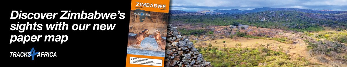
The Zimbabwe paper map is finally here and it has been worth the wait. Find out what to expect and where to go with your paper map in hand.
The Tracks4Africa Zimbabwe paper map has been on the cards for a long time. The demand for it was clear – after all, the country is a top overlanding destination. Not only is Zimbabwe conveniently located for Southern African travellers, it’s also home to must-see sights. Just think of places like the Great Zimbabwe ruins, the magnificent Victoria Falls and Mana Pools. What’s more, the people of Zimbabwe are renowned for their friendliness and welcoming hospitality.
Now our Zimbabwe Traveller’s Map is here and it is your key to exploring the country. The paper map reflects the same information that is contained in our Tracks4Africa GPS maps. But because it is presented on one map, it offers a macro view, making it ideal for trip planning. Like all our maps, the Zimbabwe paper map covers all types of roads: tar, gravel and sand. It shows even little-used tracks and tweespoorpaadjies in game parks.
One side of the map covers the entire country of Zimbabwe in 1:1,000,000 scale (1cm = 10km). The back shows more detailed maps of Hwange, Mana Pools and Gonarezhou national parks. It also covers the Zambezi riverfront, from Kasane to Victoria Falls, in detail. The Zimbabwe paper map moreover features a comprehensive distance and time table. A colour-coded index to main destinations and sights makes it easy to use.
The Zimbabwe Traveller’s Map isn’t just for trip planning either. It’s printed on water and tear-resistant PolyArtTM paper, so it’s tough enough to take into the field and use again and again. While it’s really big when opened up, the concertina folds make it a cinch to open only the section you need. This means you can comfortably use it in the vehicle and fit it back into its protective pouch without any issue.
Get ready to explore Zimbabwe
Wondering where to go and what to see in Zimbabwe? Check out these destinations.
The ruins of Great Zimbabwe
Derived from the Shona word madzimbahwe, Zimbabwe means ‘Houses of Stone’. The Great Zimbabwe Ruins comprise an entire citadel of drystone structures. Narrow passages and tall walls create the effect of a labyrinth and it can take several hours to walk and clamber among the ruins.
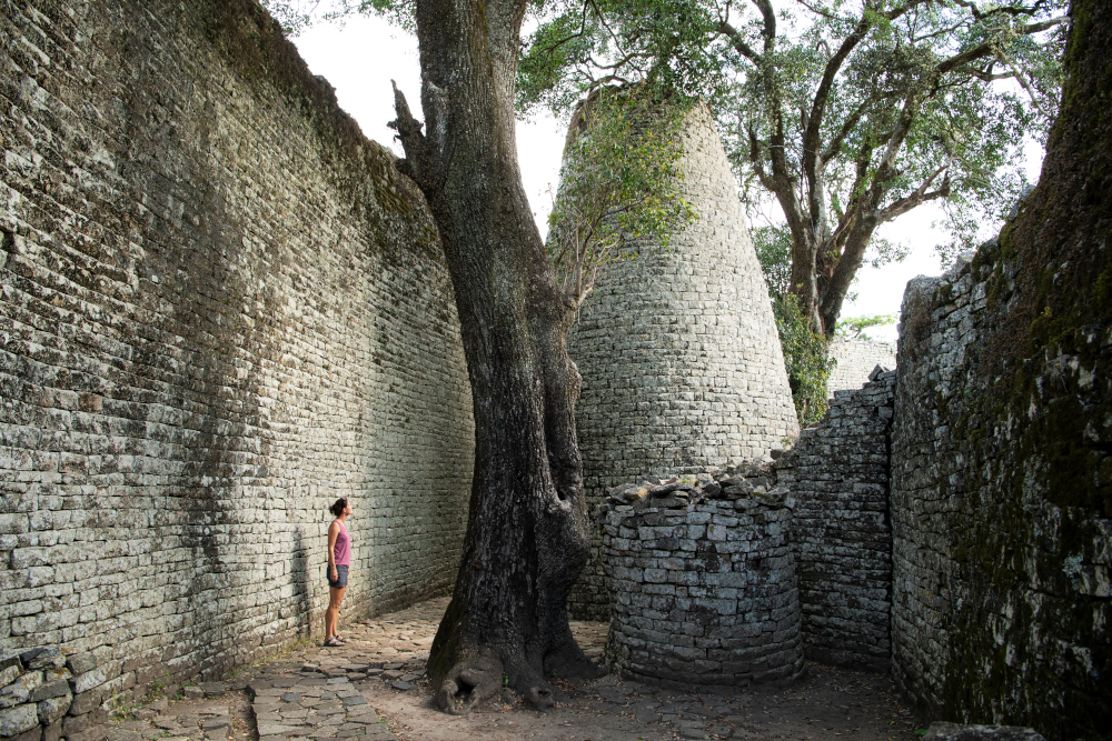
“Having travelled extensively in the region, Great Zimbabwe stands out in my memory. It is probably the most awesome ruin in subequatorial Africa.” – Philip Briggs
Read more: Exploring Great Zimbabwe’s mystical ruins
Matusadona National Park
Take the ferry across Lake Kariba to discover Matusadona National Park, which is so remote and wild, you often feel like you have the place to yourself. African Parks, which co-manages Matusadona with Zim Parks, is building low-impact tourism offerings. Wilderness campsites and campsites with serviced ablutions cater to self-drive travellers.
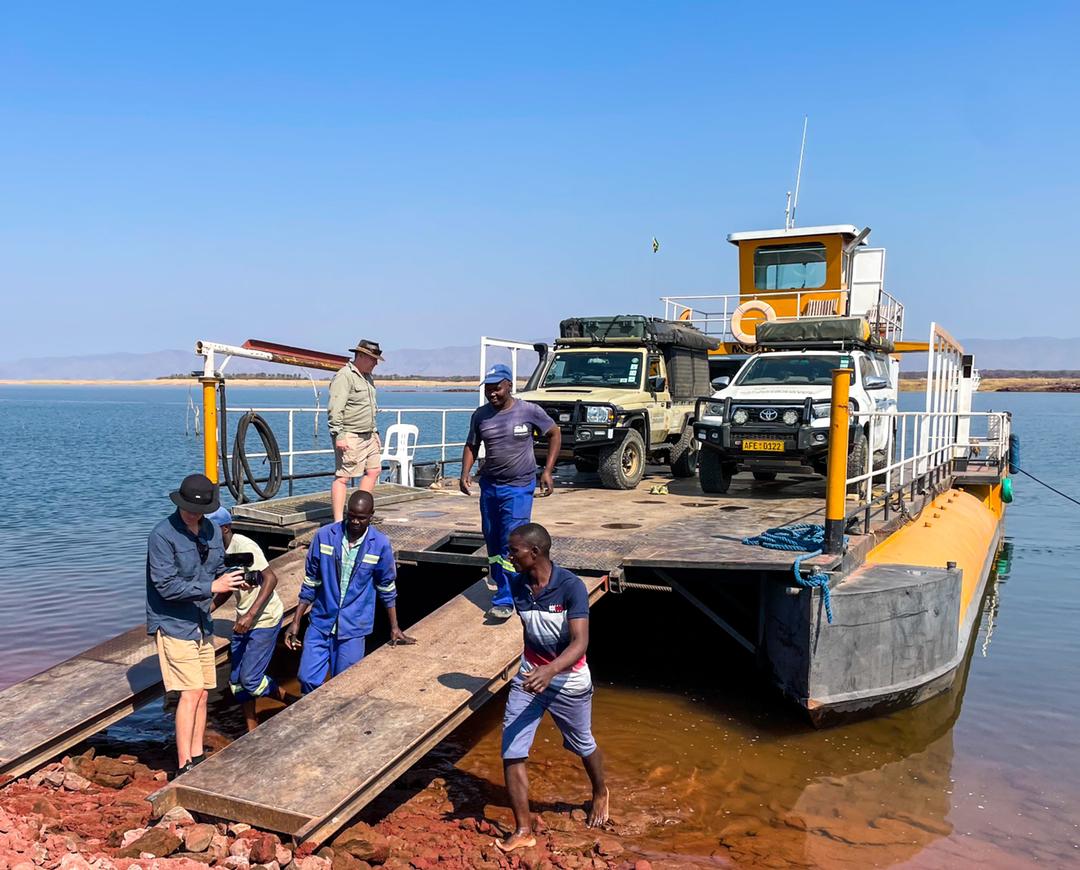
“Matusadona is arguably one of the most scenic parks in Africa thanks to the combination of water, mountains and wide, open vistas. The park is open, things are happening, and it needs to be your next self-drive destination! And stay for at least a week.” – Graeme Sharp
Read more: Expedition Zimbabwe: Matusadona
Savé Valley Conservancy
This protected area in Zimbabwe’s southeastern lowveld is one of the continent’s biggest private game reserves. Savé‘s diverse habitat supports a wealth of animals, with the conservancy’s size making it a suitable home for wild dogs.
“If you want to feel really alive, motorcycle through a Big Five game reserve and see what it does to your levels of vigilance. The dirt roads were good quality and we had a great time getting to our overnight stop, Mokore Camp.” – Tim Tucker and Carolyn Williamson
Read more: Zimbabwe on two wheels
Gonarezhou community camps
Located just outside Gonarezhou, Bosman’s Community Camp is a practical and pleasingly constructed destination for self-drive travellers. The camp has six en-suite safari tents, as well as communal kitchen, dining space and fire pit. Nearby Manjinji Pan Campsite offers five stands, a flush toilet and bucket shower.
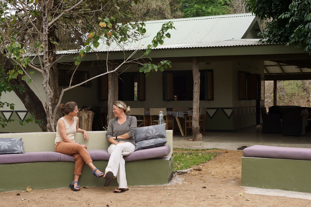
“Bosman’s is somewhere I could very happily spend a good number of weeks looking out over the river’s course as it flows by.” – Jo Craig
Read more: New Gonarezhou places to stay
Vumba Mountains
The verdant slopes of the Vumba Mountains are a hotspot for birding, with miombo woodlands and grasslands hosting a variety of birds. It’s also a top destination for hiking, with popular trails winding through the forests.
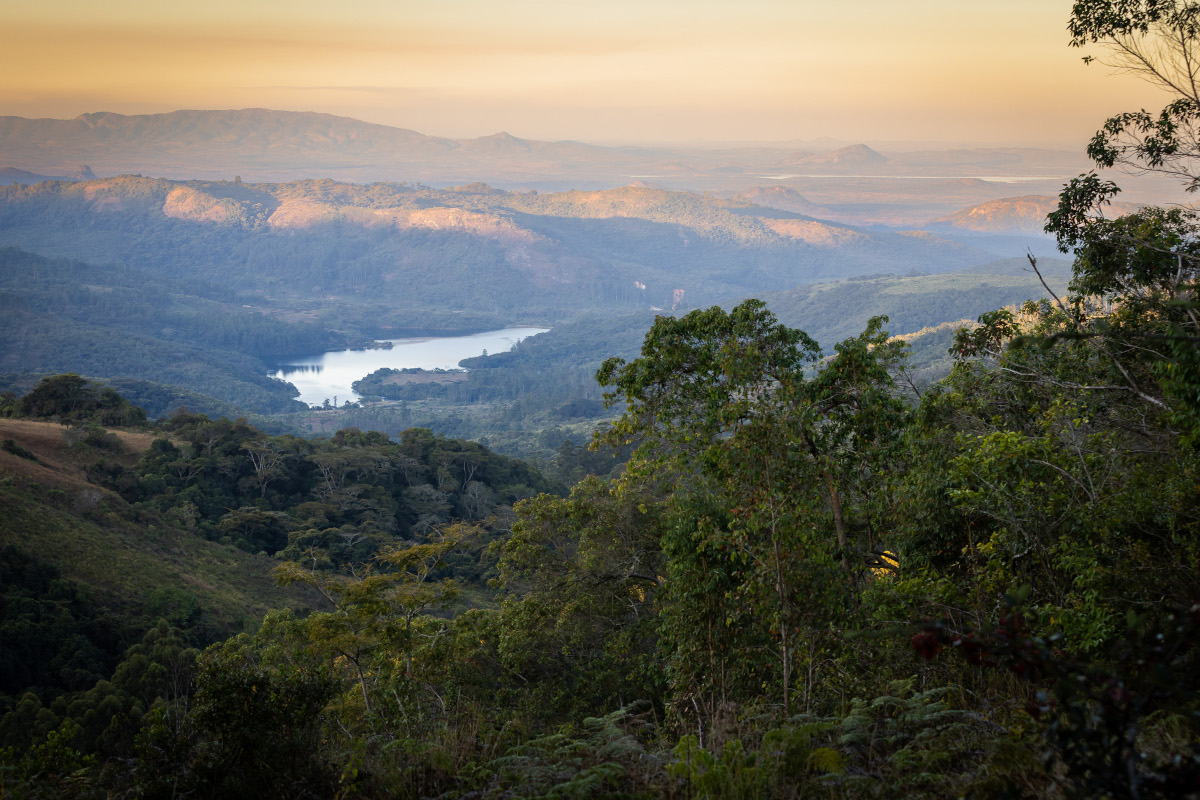
“Vumba is an excellent extension to many itineraries in the region. Chimanimani National Park to the south and Nyanga to the north round out the Eastern Highlands experience.” – Morgan Trimble
Read more: Why the Vumba Mountains keep calling us back

I need this map and your guide book. We are planning a trip in May 2024.
Now that is something to look forward to! The Zimbabwe paper map is available online from the Tracks4Africa shop: https://shop.tracks4africa.co.za/product/zimbabwe-paper-map-1st-edition/
You can also find it at retailers: https://shop.tracks4africa.co.za/retailers/
The Zimbabwe Guide Book is a work in progress, but the blogsite carries many articles and trip reports on the country. Enjoy!
are they available in shops yet?
Yes, the new Zimbabwe map is available online as well as from shops. You can find a list of retailers on the Tracks4Africa website: https://shop.tracks4africa.co.za/retailers/
It is about time. Zimbabwe is a beautiful country with amazing birds with a good network of roads.
We couldn’t agree more and look forward to sharing more on this top overlanding destination. We are currently at work on a guide book to Zimbabwe.