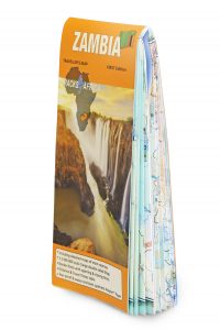
We’re excited to announce the launch of our Zambia Map, the latest addition to T4A’s popular paper map series. Find out how our team of experts put it all together and which Zambia destinations you shouldn’t miss out on.
We quizzed Tracks4Africa co-owner Johann Groenewald about what it takes to map an entire country with the self-drive traveller in mind. If you’re curious about the process behind the product – the magic behind the map – this one’s for you.
Why did you decide to create a Zambia Paper Map?
Our paper map series already covers South Africa, Botswana and Namibia as well as Mozambique and Malawi. We would like to cover the entire Southern Africa with our printed maps, similar to our existing Southern Africa Atlas. The three countries missing from our collection are Angola, Zambia and Zimbabwe. Of these, we felt that Zambia has the most potential as a self-drive destination as it is a truly wonderful nation with lots to offer overlanders.
What did the research phase entail and how did you go about collecting data?
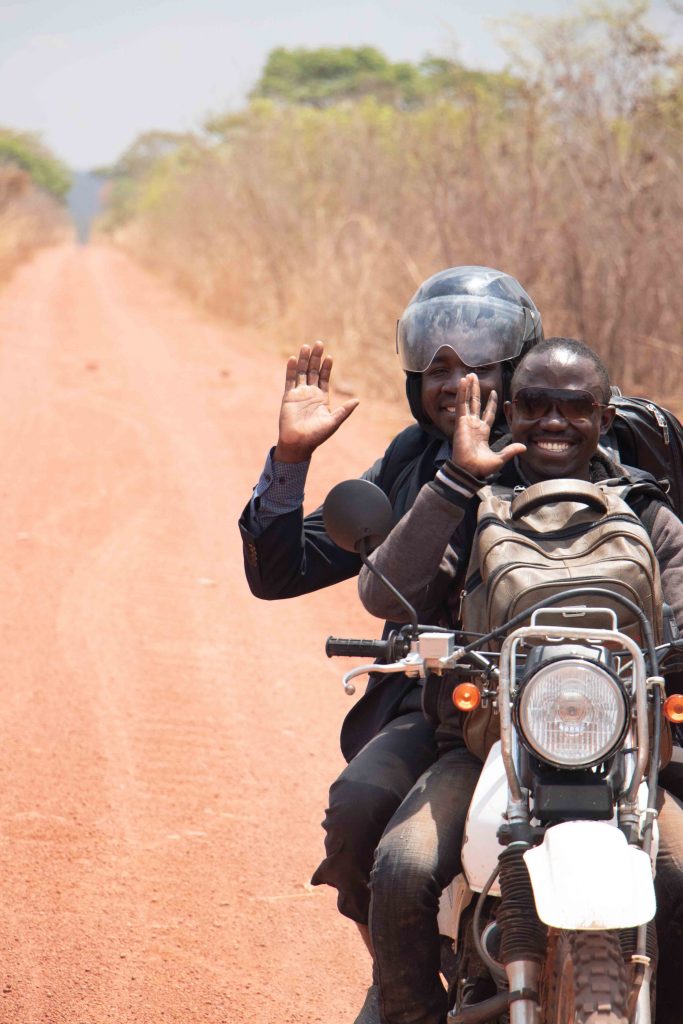
I have personally travelled to Zambia every year for the past nine years, which has allowed me to slowly gather data for most of the parks and reserves. Tracks4Africa also participated in mapping projects with NGOs where we were able to send vehicles all over the country to do research. There are also quite a few existing T4A data contributors who visit Zambia frequently and give us valuable feedback when they return from their travels. And then I am friends with Zambians who regularly tell us about changes in the country which we then research and update on our database.
Furthermore, we equip a few youngsters travelling through Africa on their gap years with our GPS and paper maps in exchange for their help in checking local conditions. Finally, there are the lodges in certain parks that know us and recommend our products to their clients; they also provide helpful updates on the latest conditions in the parks.
How many people did it take to put it all together?
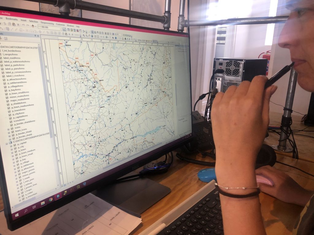
Apart from the many people who did the field work, our team at the office had a major part to play. We’re split into two groups. The first is our mapping team (three people) who process all the data we receive from field workers and research the road network, park boundaries, river lines and many topographical features of the map.
The second group is our Point of Interest research team (four people). Their job is to do research on the facilities in towns, or to set up questionnaires for our field workers to distribute. They also contact accommodation establishments for updates to their details on our database.
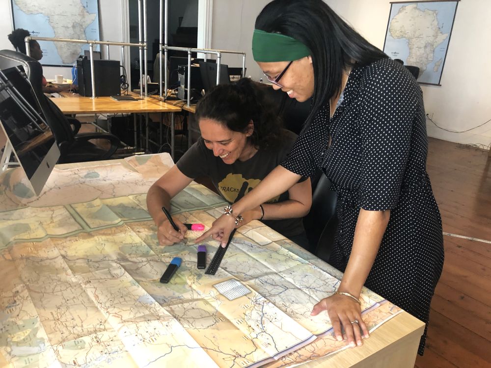
The information gathered from both these groups is then merged into a map which is styled cartographically by our mapping team. Then we have our travel experts who proofread and provide research guidance. So, all in all, about ten people in the office alone worked on this project.
Also read: Inside the making of T4A’s essential new atlas
How long did the process takes from start to finish?
While our maps include information gathered and updated over many years, the actual cartography process for this particular map was completed in the past year.
What challenges and obstacles did you face in compiling it?
People talk about South Africa, Namibia and Botswana as “Africa-lite”. This refers to countries that are fairly easy to travel and offer abundant, high-quality accommodation options. Fuel is readily available, and roads are normally well-maintained. When you go to a country like Zambia, it’s a bit more of an adventure – a challenge, but in a good way!
You are rewarded with less crowded destinations and equally spectacular scenery. However, gathering information is more difficult and road conditions are unpredictable. Where sophisticated accommodation makes it easy to gather information for Africa-lite, one needs to work harder and go to the source to find the correct information in Zambia. Another challenge was wrapping up the project because we were always discovering more and more changes. But you have to draw the line somewhere.
What makes Zambia a unique self-drive destination compared to other African countries?
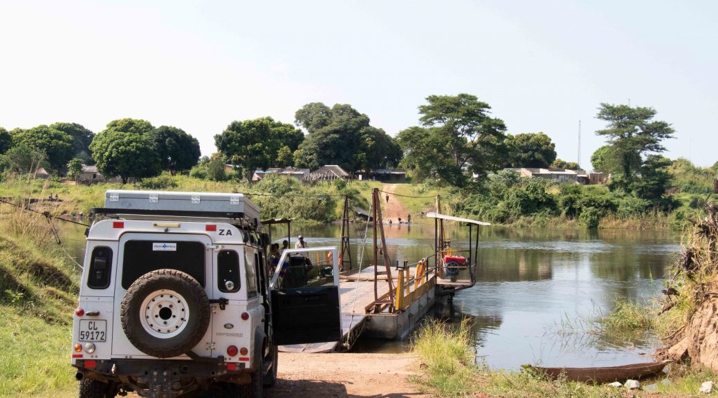
Fewer tourists! This is such a great destination for seasoned self-drive travellers and quite easy to navigate if you have the correct information. Zambia offers diverse landscapes, and you will love this country if big rivers with wonderful waterfalls and beautiful forests are your thing. The people of Zambia are very friendly and easy-going. Birders will find some species not common to southern regions so it’s a great place to expand on your life list.
Are there any major attractions that you can recommend?
The second largest wildebeest migration is found in Liuwa Plains and you may be the only person around to observe it. Kasanka NP is home to the largest mammal migration in the world: fruit bats!
Millions of them gather here between October and December every year. South Luangwa is the country’s premier game park with loads of animals, and walking safaris are very popular here. There are many significant waterfalls in Zambia, so much so that it’s possible to design an entire trip just around waterfalls. Last but not least, Kafue NP is a huge park with diverse landscapes and the beautiful Kafue River running through it.
What makes T4A’s Zambia map different from other maps out there?
Our paper maps are on a scale of 1:1 million (1cm = 10km) and include detailed travel times and driving distances on all roads, which is helpful for trip planning. We performed extensive research and feel confident that our paper map is the best one on the market to date. For towns, we show what facilities are available so you can plan your shopping and fuel stops accordingly. We covered parks and reserves in detail, showing minor roads as well as locations of camps and lodges where possible. We also print on tear and water resistant ‘paper’, which sets us apart.
What can the T4A community expect to find in the upcoming Zambia Self-Drive Guide? Perhaps you can give a sneak peek of what’s to come…
So much research went into the book and we feel it will be a valuable resource for self-drive trips. It includes detailed information on destinations, accommodation and what to expect in terms of facilities. There will be a complete atlas section covering the entire country and we have planned several suggested routes which you can use as inspiration for an itinerary. We have driven all of these routes and visited the parks ourselves, so we feel we have really done our homework on this one.
Buy your copy of the new Zambia Traveller’s Map online.
