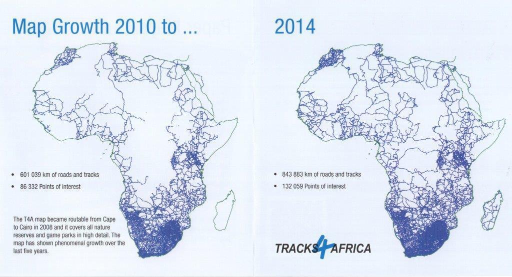
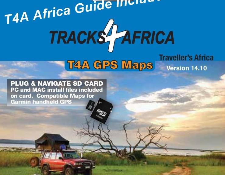
The newest version of T4A GPS maps is available online and at retailers as from today. The overall road coverage is now 843 883 km of fully routable roads with detailed tourist coverage. This represents a 4% increase from the previous 14.05 version.
T4A processed 594 data submissions for this version which does not only mean more roads and POIs (Points of Interest) on the map, but also corrections to the existing map and data. The overall quality of the map was thus once again improved significantly.
With 3 619 campsites, we still believe that we have the most complete camping data base in Africa.
It is noteworthy that Madagascar roads and POIs have seen a massive increase in coverage, East Africa roads have grown by 6% and significant detail was added to several towns as well as the Kafue National Park in Zambia.
The T4A Africa Guide which is included on the SD Card had a 3% increase in accommodation listings and places to eat and drink as well as a 2% increase in Points of Interest.
The map coverage now includes:
- 843 883km fully routable roads.
- 132 059 POIs (Points of Interest).
- 1 452 protected areas; the most complete and detailed map of protected areas (national parks, game reserves, etc) in Africa.
- 10 144 accommodation listings.
- 3 619 campsites; the most complete camping database in Africa.
- 5 542 places to eat or drink.
 The T4A GPS map became fully routable from Cape to Cairo in 2008 and with every new version of the map (there is an update every six months) the map grows organically.
Loyal T4A Travellers often wonder if it is really worth upgrading their T4A GPS maps with every new release. If you know for sure that you are not planning a trip into Africa within the next six months then rather wait for the next version before you upgrade. If you have already bought the full map set you can consider buying a map of only the specific country that you intend to visit. It is possible to buy maps of specific countries online as downloadable links.

