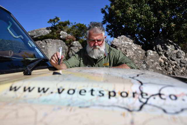
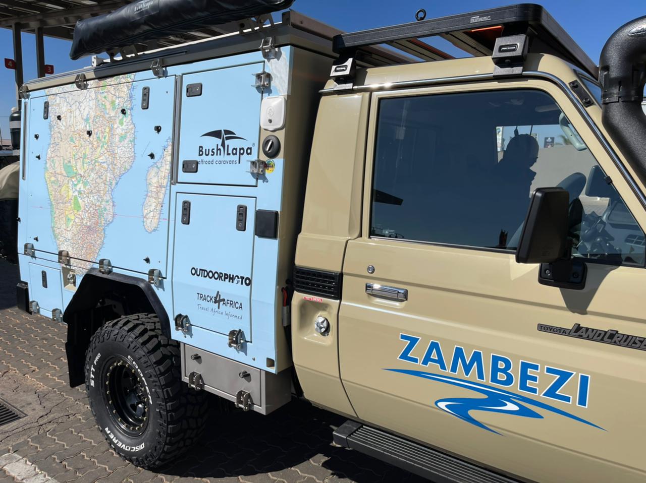
For their latest expedition, the Voetspore crew have one of Africa’s iconic rivers in their sights. Their journey to trace the Zambezi from source to sea is powered by Tracks4Africa maps.
Zambezi. The name has a magical ring to it, calling up scenes of untamed Africa. It’s a river where wildlife comes to drink and hippos bob in the water. But it’s also the powerful force behind Victoria Falls (known as Mosi-oa-Tunya in Zambia) and thrilling whitewater rapids.
This year, intrepid adventurer Johan Badenhorst and the Voetspore team are following the Zambezi. Their expedition, Voetspore Zambezi, will run from its source in Zambia all the way to where the river joins the sea in Mozambique.
Also read: Voetspore’s Johan Badenhorst on his overlanding secrets
The Zambezi and Zambia
Did you know the Zambezi is the longest east-running river in Africa? It arises in the north-western corner of Zambia, in an area known for its birdlife and wild forests. While the river briefly dips into Angola early on, much of its journey is through Zambia.
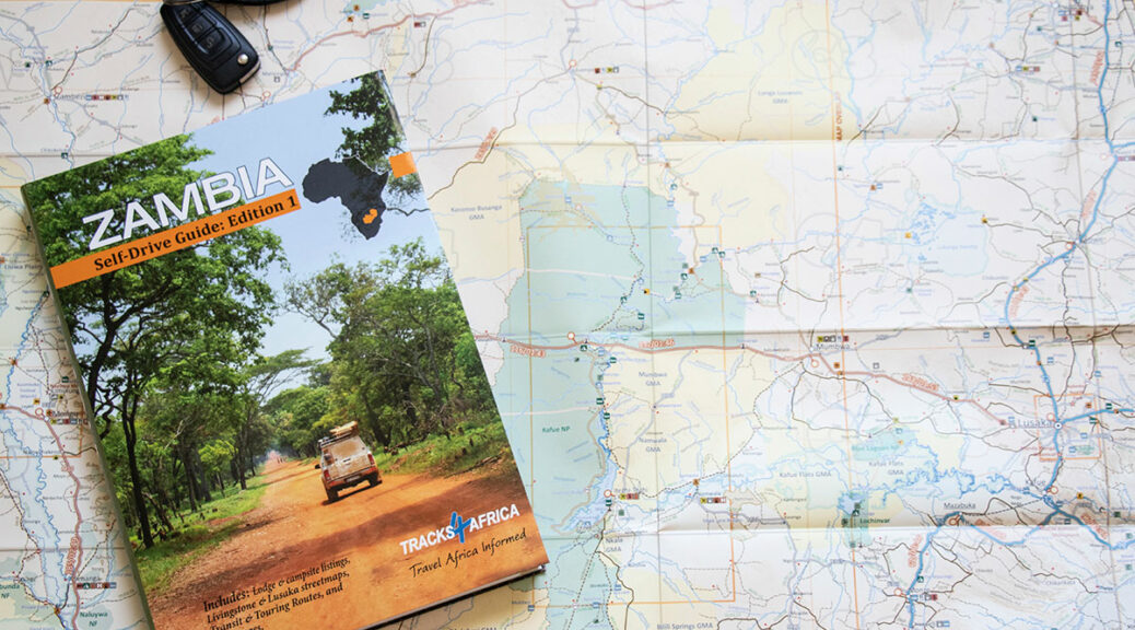
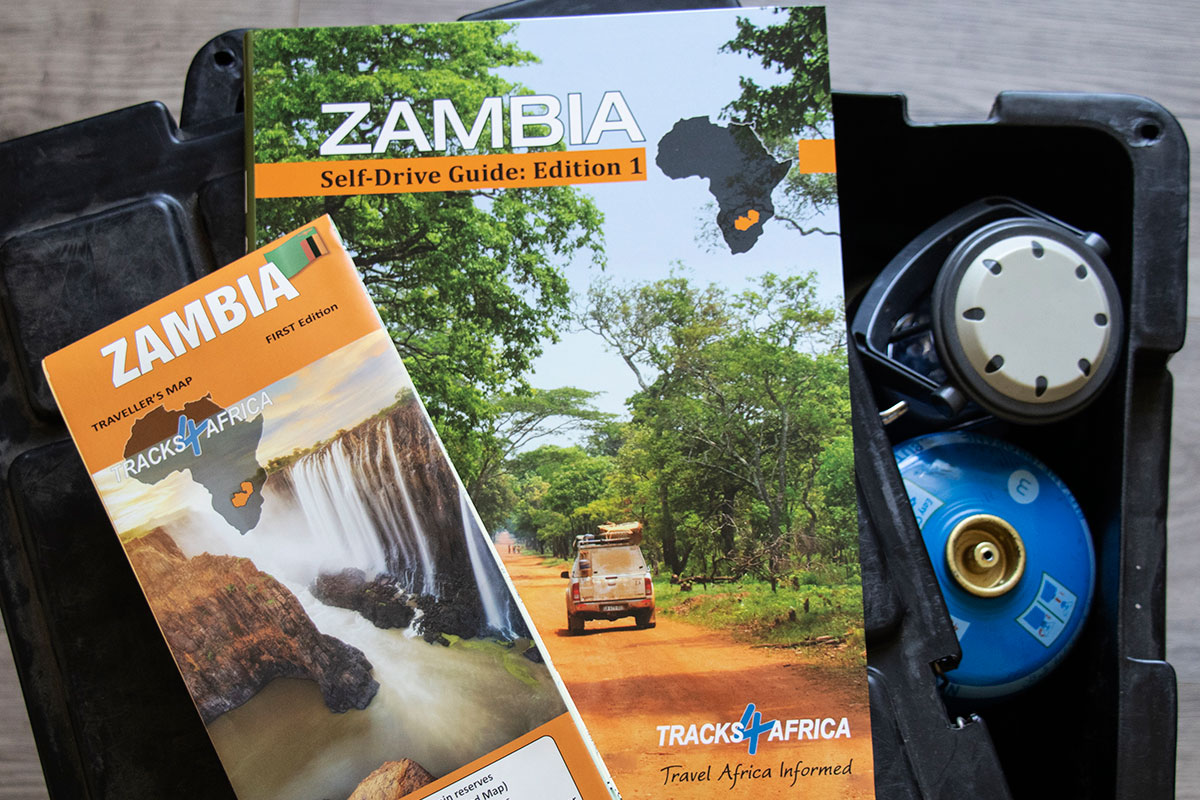
It’s a part of the continent well-mapped by Tracks4Africa, the result of which is the recently launched Zambia Self-Drive Guide Book. The book has been a decade in the making and is the result of annual trips by Tracks4Africa co-founder Johann Groenewald. Add to that the data contributions from an extended network of travellers and locals and you have the most comprehensive resource on Zambia. It is complemented by the Zambia Paper Map, the most comprehensive map on the country. No wonder then that the Voetspore crew are using Tracks4Africa maps on their Zambezi expedition.
The route
The Voetspore journey officially starts at the source of the Zambezi near Ikelenge. Due to Covid-19 it isn’t possible to enter into Angola, so the expedition will travel south to the city of Zambezi. The crew plan to go tiger fishing before crossing the river for a visit to Liuwa Plain National Park.
Also read: Traveller tips for Liuwa Plain
After a visit to the picture-perfect Ngonye Sioma Falls, the trip follows the river downstream to one of the world’s most spectacular natural features, Victoria Falls. Then it’s onwards to Kariba Dam and Mana Pools, the conservation area across the river from the stunning Lower Zambezi National Park in Zambia. In Mozambique, the journey follows the river to Cahora Bassa Dam and ultimately to its delta.
Follow the Voetspore crew on their journey with this live map.
A country of rivers
Rivers seem to define the natural wonders in Zambia, says Tracks4Africa’s Johann Groenewald. Any trip will involve crossing a river at some point or camping on its banks. There are also hundreds of significant waterfalls around the country. In fact, he suggests you can easily plan a trip around the theme of waterfalls or rivers – just like the Voetspore expedition is doing.
Of the many rivers that criss-cross the country, the Zambezi is responsible for many one-of-a-kind experiences. In Barotseland, it is the setting for the best tiger fishing in southern Africa. At Kazungula, the borders of Zambia, Botswana and Zimbabwe meet and the impressive new Kazungula Bridge spans the river. A swim in the Devil’s Pool above Victoria Falls is as exciting as it gets. We can’t wait to see what else Voetspore uncovers about the mighty Zambezi!
Also read: Inside a Zambia Expedition with Ultimate Adventures
The Zambia Travel Bundle
Win a Zambia Travel Bundle
To celebrate the Voetspore Zambezi expedition, Tracks4Africa is giving away a Zambia Travel Bundle. It consists of Zambia Self-Drive Guide Book and Zambia Traveller’s Paper Map.
How to enter
Send the answer to the question, along with your name and address to competition@tracks4africa.co.za. Competition closes 15 July 2021. The winner will be notified by email.
Question: In which country does the Zambezi River originate?

My Friend, David Moir and I did the Zambezi route a number of years ago, from the source of river to Livingstone.
David now has a house 30km north of Sesheke on the river . He says you are welcome to visit and camp.
The house contains the best library of Zambian/Rhodesian books, maps etc and says the guys can visit the Library.
Understand a Mr Badenhorst has been in touch with George from Sesheke. Who is a friend of ours
The man in charge at the House is Edwan Mubila.
David Moir Contact 0825765675
Tony Morgans 0726293355
You guys will have a great trip
Any info required contact either the above numbers.