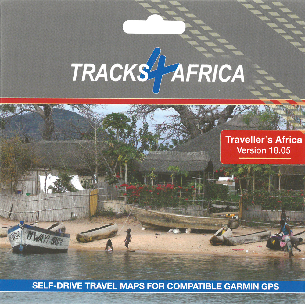
It’s that time of the year again when Tracks4Africa fans have the opportunity to expand their travel horizons with the brand-new Traveller’s Africa GPS Maps. Version 18.05 sees an increase of 2.4% overall road coverage, ensuring you can travel Africa informed.
For the Traveller’s Africa GPS Maps Version 18.05, T4A’s expert mapping team processed 247 data submissions. The result is not only more roads and Points of Interest (POIs), but also improved data – thanks to corrections from travellers.
Important to know
Version 18.05 comes pre-loaded on a micro SD card with standard adapter ready for Plug & Navigate. This SD card can be used on most map-capable Garmin units and has been tested with the latest Nuvi models. The SD card also contains installation files for PC and Mac users who want to install the maps on their computers for trip planning or for transferring maps to older Garmin units.
What to expect
- 1,229,045km of roads, detailed tourist coverage and fully navigable
- 159,551 Points of Interest (POIs)
- 2,356 protected areas and nature reserves
- 14,733 accommodation listings
- 4,012 camp sites – the most complete camping database in Africa
- 6,123 places to eat or drink
- 10,938 fuel stops
“We continuously update route numbers and routing attributes for South Africa and this release has seen more improvements on this front. We also focused on a general clean-up of redundant POIs. You will not necessarily notice these changes, but they improve the look and feel of the map,” says Johann Groenewald, T4A co-founder.
More map growth
- Zimbabwe: You’ll notice a variety of secondary roads – a first for T4A. So far, you can discover a 6% increase of road coverage in Zimbabwe.
- Western Africa: Morocco’s road coverage has increased by 6%.
- Eastern Africa: In Ethiopia, T4A specifically focused on highways in and around Addis Ababa and road coverage has increased by 12%.
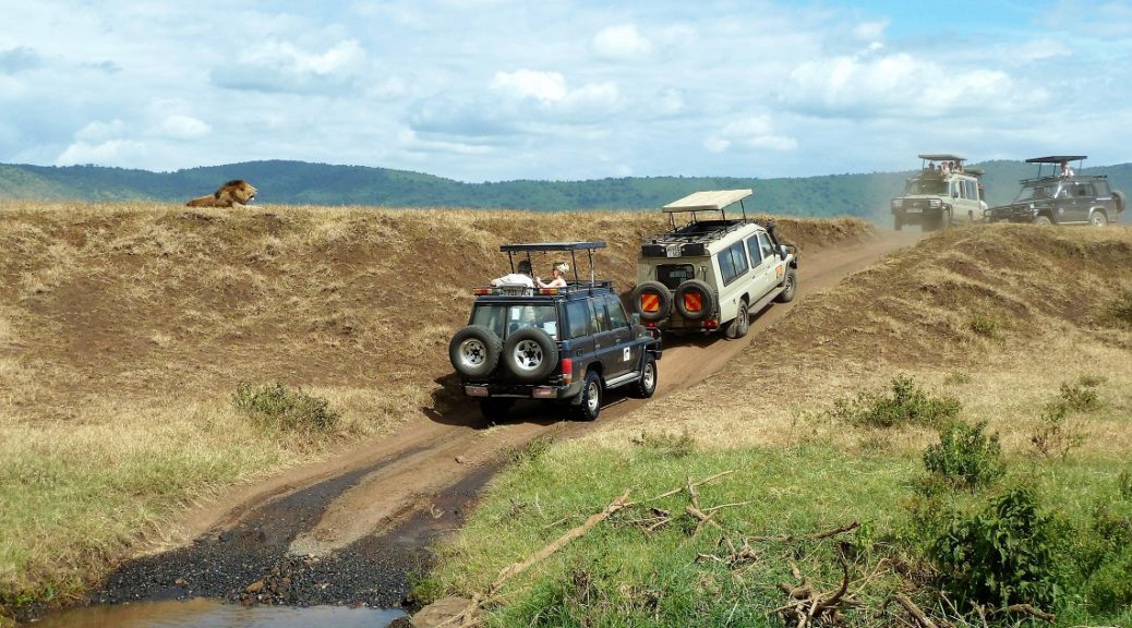
- Estimated time of arrival (ETA) is improved on many 4WD and gravel tracks by tweaking the speed classes of these roads.
- Zoom levels of certain road types were optimised to improve map display.
Specific additions
- Oorlogskloof Hiking Trail and POIs
- Fanie Botha Hiking Trail and huts
- Hiking Trail to Du Toit’s Kop
- Wannabee MTB Track
- Stanley’s Light Hiking Trail
- Blyde River Canyon Hiking Trail tracks and POIs
- Serengeti National Park 4WD tracks
- Tsavo West National Park 4WD tracks
- Dinokeng Game Reserve tracks and POIs
- Tankwa Karoo routing updated
- Omboroko Campsite and Day Visitor Centre in Okonjima Nature Reserve
- New tracks and POIs for Nxai Pan Area
- Danielsrust Game Farm Campsite
- Update for Burchell’s 4WD Trail and camping at Boegoeskloof Farm
- Omukutu Nature Farm roads
- Mangwa Valley Game Lodge roads
- Richmond (Northern Cape) POIs updated
- Gouna River Pass
- Ghanzi POIs updated
- Maun POIs updated and added
- Road conditions and new POIs around Agate Beach (Luderitz)
- New POIs and road changes around Windhoek
- Freeways and highways updated in and around Addis Ababa
- Roads and POI updates in Mbabane
- Table Bay Mall
- New roads and POIs in Mauritius
- Smilin Thru Resort Campsite (Vaal River)
- New POIs in Centurion
- New gravel track in southeast Lesotho along Senqu River
One card, 16 maps
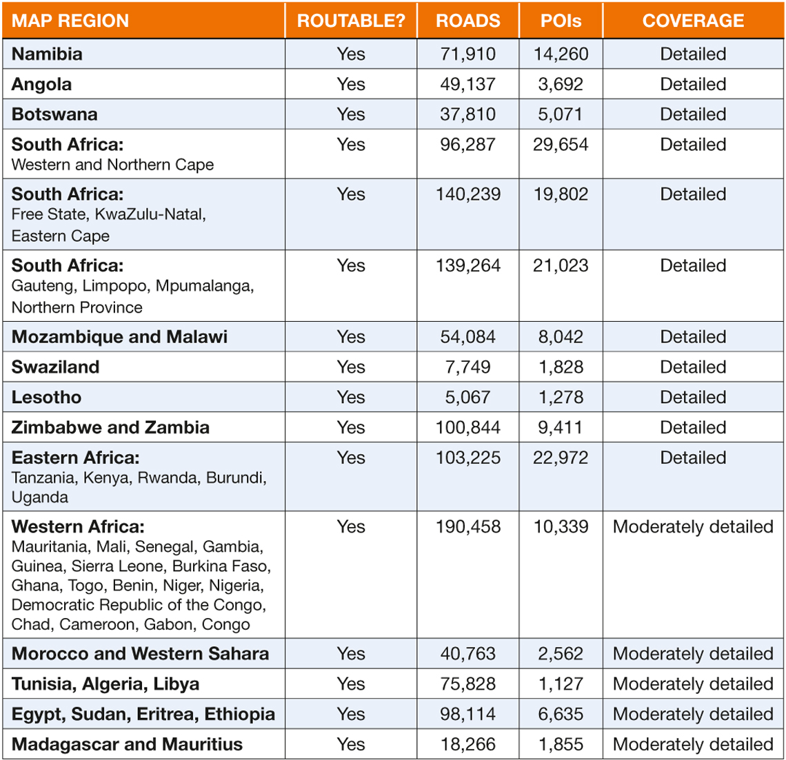
Traveller’s Africa GPS Maps Version 18.05 is your key to navigating more than 40 African countries. Loaded onto the one SD card, you’ll find 16 different maps with roads, POIs, accommodation and fuel stops indicated.
