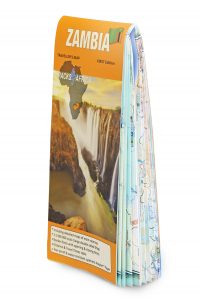
Zambia is a self-drive traveller’s dream, and now you can confidently explore its borders using our newly launched Zambia Traveller’s Paper Map. The first edition features gravel and off-road tracks in addition to major and minor roads, making it the most comprehensive map of its kind available. Discover the added value features to this map and throw your name in the hat for a free copy!
We’re thrilled to add Zambia to the list of countries in our paper map series, which so far includes South Africa (plus Lesotho and Swaziland), Namibia, Botswana, Mozambique and Malawi. Like its predecessors, this 1m-wide map is built with the same traveller data used in our GPS maps, so you can rest assured that it’s accurate and up-to-date.
The tear-proof and water-resistant PolyArt paper enables it to withstand harsh conditions – perfect for an off-the-beaten track journey into Zambia’s remote regions.
WIN a copy of our Zambia Paper Map!
Five lucky readers stand a chance to win a copy of the new Zambia Traveller’s Paper Map, to the value of R220 each. To enter, email the answer to the question below to competition@tracks4africa.co.za before 3 February 2020 at 12:00. Please include your full name, postal address and contact details. T4A will randomly select winners and notify the five lucky recipients via email.
Question: What is the scale of the Zambia Traveller’s Paper Map?
Beyond being the most detailed road map to the country, the T4A Zambia Traveller’s Paper Map offers plenty of useful features.
Winners list:
Sheldon Celliers
Martin Clark
Peter Chivers
David Gelling
Hans Glietenberg
Distance and travel times
The beauty of using verified GPS data as the basis of our printed maps is that we’re able to estimate the travel times between destinations. This handy feature sets Tracks4Africa apart from other map providers who focus solely on distance without considering factors that shorten or prolong a journey. Use the map’s comprehensive distance and times table as a trip planning tool to give you peace of mind when venturing onto lesser-known roads.
Rich in tourism info
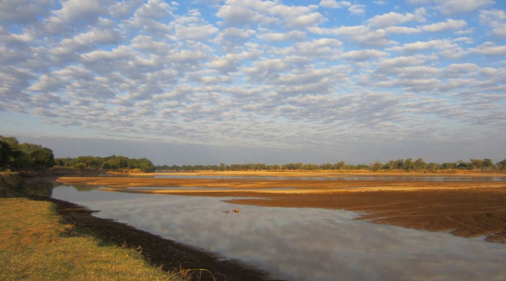
Any map designed for self-drive travellers in Africa should come equipped with relevant details that speak to the interests of the overlanding community. That’s why our Zambia map offers extensive coverage of all major parks and reserves, including extra information about major parks such as Kafue, Liuwa Plain and South Luangwa. To guarantee you never miss a sight worth seeing, you’ll also find the locations of noteworthy attractions and landmarks.
Border posts
In a landlocked nation with eight neighbouring countries, it’s useful to have border control information at your fingertips. All borders posts along with their opening and closing times are clearly indicated on the map. Whether you’re entering via Zimbabwe or exiting through Tanzania, we’ve got you covered.
Good to know
- Large, double-sided
- User-friendly scale: 1cm = 10km on the ground
- Folds down and easy to use
- Roads, tracks and points of interest verified by the Tracks4Africa research team
- Includes popular areas adjacent to Zambia such as Katima Mulilo in Namibia, Kasane and Chobe in Botswana and Victoria Falls and Mana Pools in Zimbabwe
Buy the new Zambia Paper Map Edition 1st Edition online.
