When you venture on Africa’s remote roads, you can now keep in contact without a satellite phone. With Garmin’s subscription service, you can share your route and call on help in an emergency. Words and pictures by Morgan Trimble
Plenty of Tracks4Africa routes take explorers far off the grid. That’s a good thing. But what if there’s an emergency? And wouldn’t folks back home feel better if they knew that you were safe?
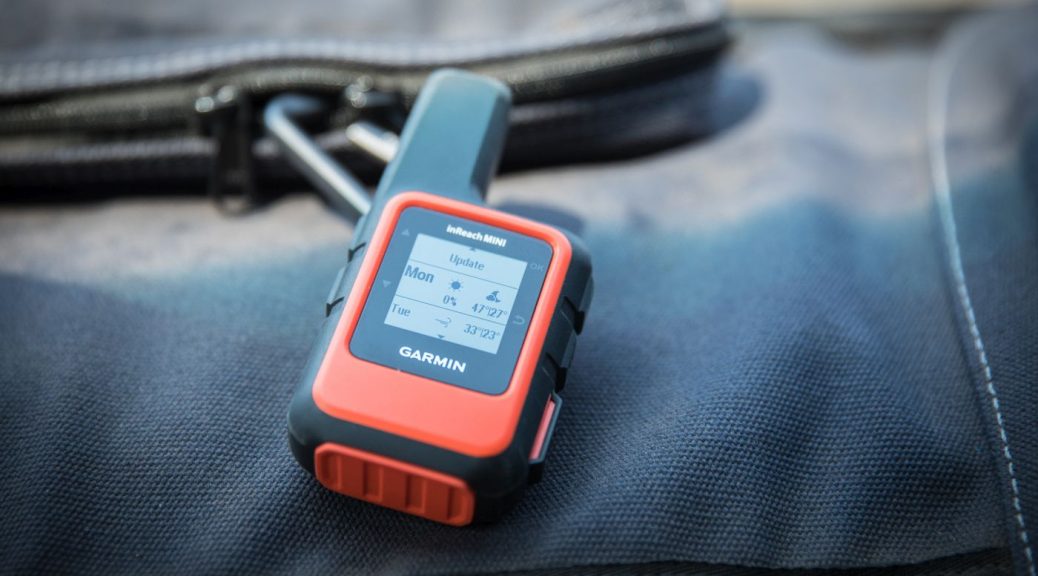
Enter Garmin’s inReach global satellite subscription service. Users can stay in touch through two-way messaging, track and share their route and location, and trigger an emergency SOS. We tested the inReach Mini on an expedition through Mozambique and Zimbabwe.
Also read: Review of the Garmin Montana 750i (with InReach technology)
Tracking function
By the time we crossed the border into Mozambique at Pafuri, we’d set up MapShare, a website where Garmin displays trip progress and location data. Through their web interface, we emailed a link and password to family back home. While the inReach device was set to “track”, it sent our location every 10 minutes to our MapShare page.
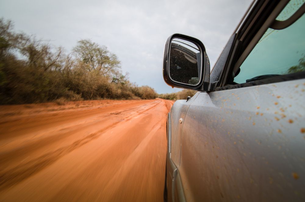
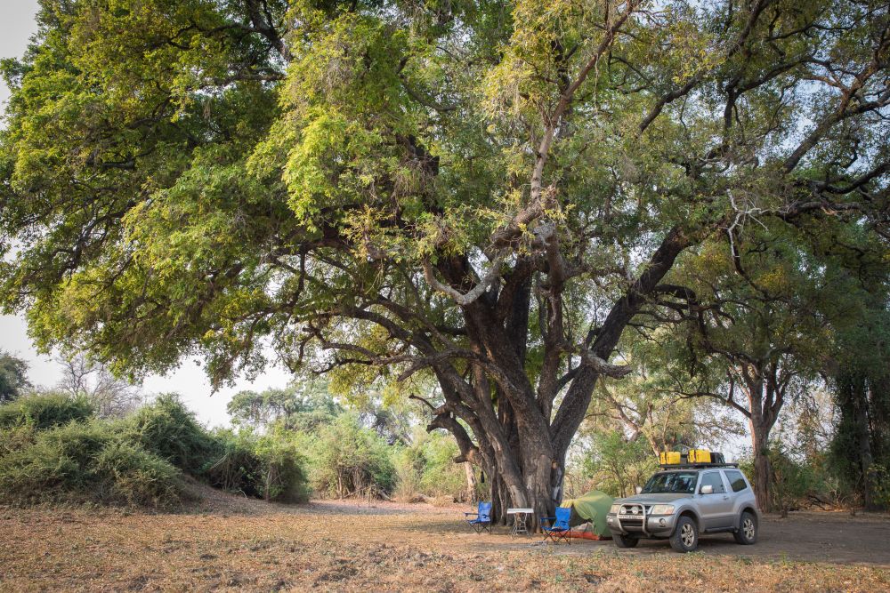
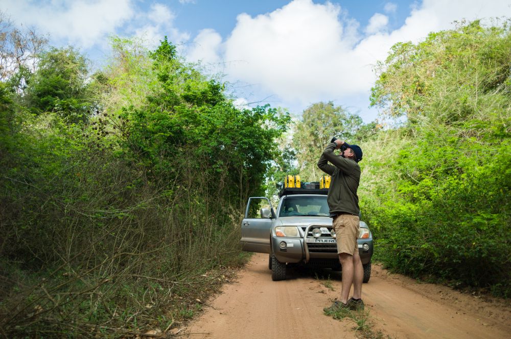
Our families could see, almost in real time, where we were as we bumped along 5,000 km of gravel roads, sand tracks and the occasional smooth highway. On the device itself, it was fun to check how many kilometres and hours we’d driven each day.
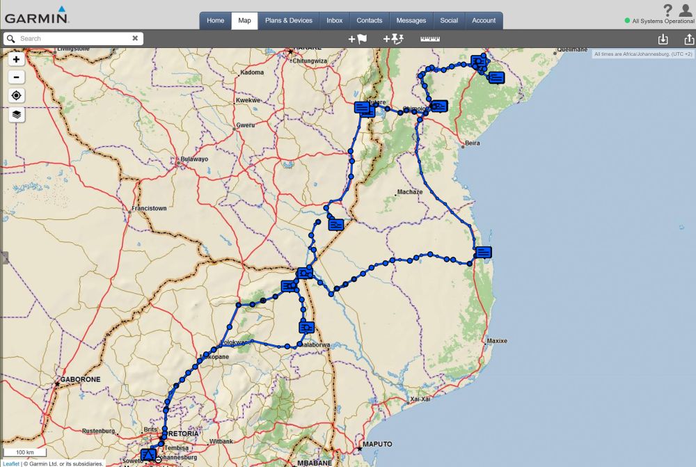
The tracking interval is customisable, depending on what subscription you have (more below). You can also enable people with your MapShare link to request your location, even if you aren’t tracking. People who like to keep their social networks apprised of their every move can share their map much more widely.
We preferred to keep our location private among family and friends, one of whom reported compulsively refreshing our MapShare page to travel vicariously from work. He was the first to notice when we made an unplanned turnaround on the corrugated road from Mapai to Vilanculos after crossing the Limpopo.
Also read: More uses for your GPS than navigation
Two-way texting
Two-way text messaging is the perfect alternative to a satellite phone. Garmin distinguishes between “preset” and “custom” text messages. Before the trip, we decided on three preset messages, of which we could send an unlimited number for free: “starting out for the next destination”, “this is where we’re camping”, and “all on track and going well”.
On command, the inReach device beamed our preset message through the Iridium satellite network to email addresses and phone numbers we’d pre-programmed. We sent a few of these each day to let people know we were safe. Compared to a satellite phone, we were much more likely to check in this way.
We could also receive messages and send a custom message to anyone. Typing a full message on a tiny device with only a few buttons is possible, but it’s annoying. Luckily, you can connect the Garmin device to a smartphone via Bluetooth to type a message with ease. Before traveling, you can also save 20 “quick messages” you might want to use.
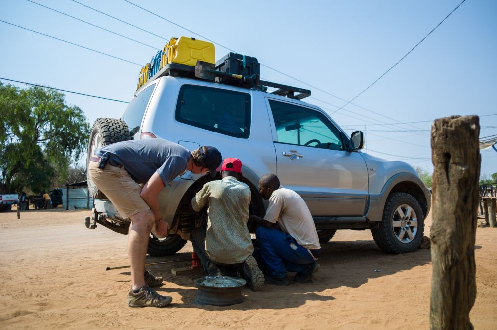
After our turnaround on the road to Vilanculos, we received a message from the concerned family member asking what was wrong. We messaged back that our rear shock had broken loose and we were returning to Mapai to get it fixed. He called ahead to book accommodation for us and get a recommendation for a mechanic and sent us the details.
Weather report
It’s handy to know the local weather forecast when hiking, camping and choosing driving routes. Or, at least, I thought it would be before I ordered a forecast while camping in Gonarezhou. It told us a temperature of 47 degrees Celsius was in our near future. There was nothing we could do but sweat it out in a stuffy tent. Garmin offers basic, premium and marine forecasts you can order for your current location or any other waypoint you set.
SOS
Thankfully, we didn’t have to test the SOS feature during our trip, but it was comforting to know that the device could send an SOS to a global search and rescue centre equipped to help at any time. Once triggered, we would communicate the nature of the emergency through two-way messaging and get feedback on what to do. The monitoring centre dispatches help to the location and notifies emergency contacts.
Also read: What to do if you get stranded with your vehicle
Device and subscription
To use inReach, you need a compatible Garmin device and a subscription. The inReach Mini weighs 100g and is amazingly small – about the size of a pack of playing cards. It has all the communication options you need and is even more powerful when paired with a smartphone for easier typing and mapping. It’s great for minimalists who use other means to navigate.
For access to the satellite communication network, Garmin charges on an annual or monthly basis. You pay a bit more for a month-by-month option, but you get the freedom to change plans or put the subscription on hold depending on your adventure schedule.
T4A Tip: The inReach system works well once you’ve got the hang of it, but make sure to set it up and practise before your trip. You need to master the device plus the web interface and Garmin Explore app and make sure everything is updated and synced. It feels unnecessarily complicated and cumbersome. Hopefully Garmin will streamline these interfaces over time.
Embrace adventure and go off-the-beaten path in 2020! Don’t forget to load the latest GPS maps on your Garmin device to keep you on track. Map owners are entitled to a free upgrade on the next version and 50% off all subsequent purchases. Read our map upgrade policy for more information.
