The Tracks4Africa Guide App helps you discover sights, activities and places to stay as you travel. T4A co-founder Johann Groenewald reveals what makes it so useful.
What is the difference between search and discovery? When you search you have a fairly good idea of what you are looking for. In other words, you already have the name or you’re looking in a particular place. Discovery, on the other hand, is when you stumble upon something you didn’t know existed, almost by chance.
How does this work in the context of overlanding? Some of us prefer to discover places as we travel. The extreme would be to drive around aimlessly without a map and see what is out there. The flip side is someone who plans a trip to the finest detail. They will consult various maps and other sources of information and then go and visit these places in an orderly fashion, using an itinerary! The majority of us are probably somewhere in the middle of these two extremes. We have an idea of where we want to go and we have heard of some nice places, so we equip ourselves with the maps to get there.
Our Guide App falls into the discovery toolset. The map is designed to allow you to use it like a paper map, just with many more map scales at your fingertips.

How does the Guide App work?
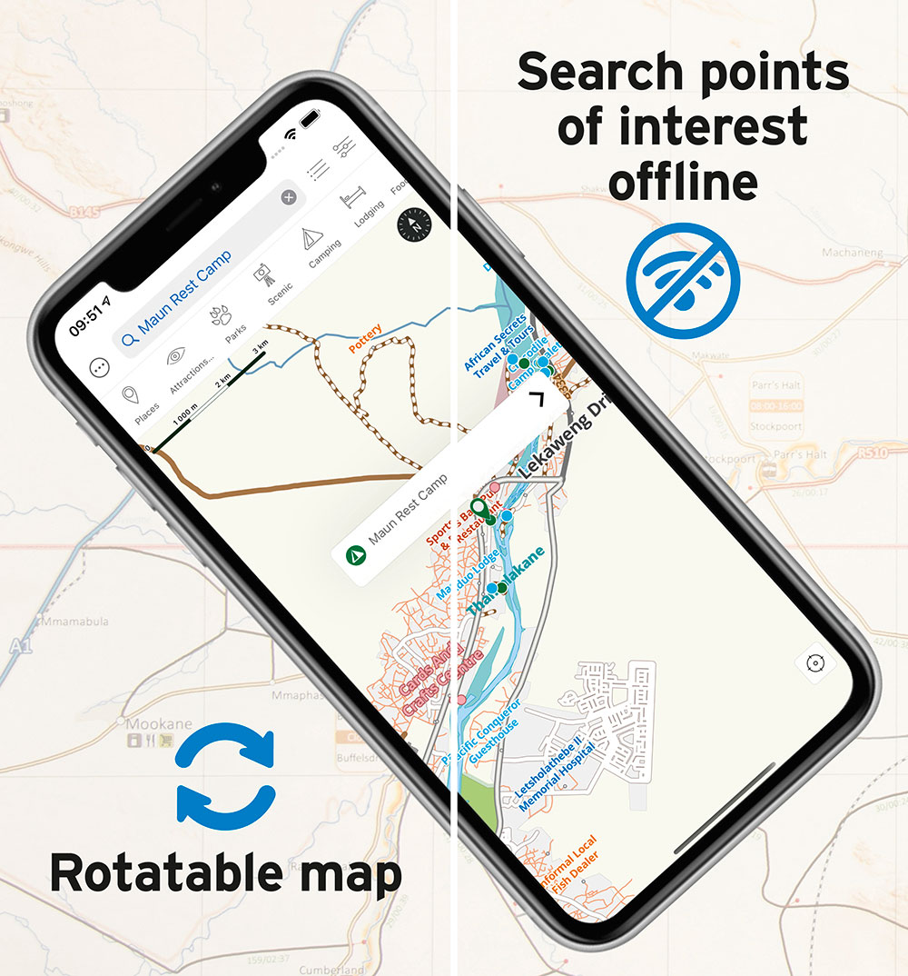
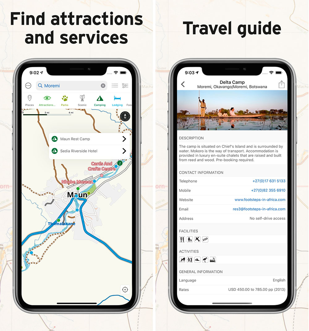
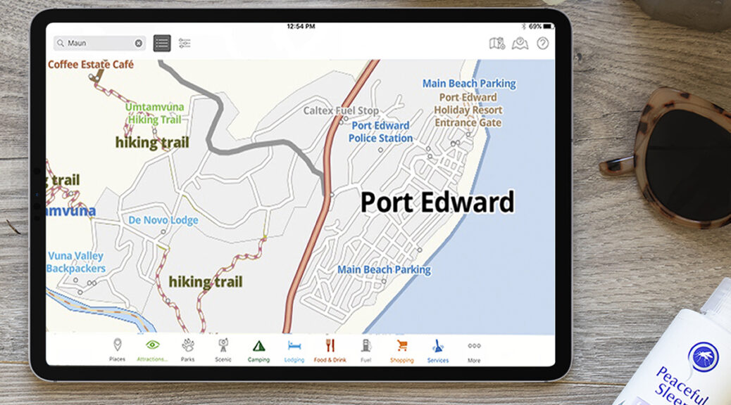
The app shows you where you are on the map. You can then toggle categories of information on and off to discover nearby attractions and places to stay, for example. If you wish, you can also search for places by name. The entries for camping, lodging and other categories have rich content associated with them, allowing you to obtain contact details or read up on a place. Best of all, everything in the Guide App also happens offline, without the need of an internet connection.
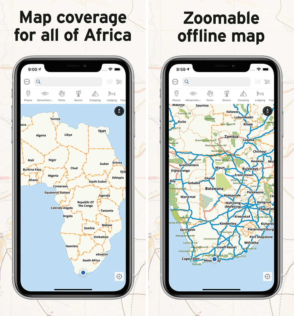
The app comes with a free base map of the entire Africa. To see detailed content about points of interest, you can purchase country/region-specific maps.

How to use the Guide App
A handy feature of the map is the ability to use the map in North-up vs Track-Up mode. You simply click the little compass to toggle between these modes. The map can also be used in any fixed orientation and zoom level of your choosing.
Easily browse the map by dragging your finger across the screen or click on the crosshairs to have the map centered on your current location. The map will now update its position as you drive.
Time to find a place to sleep for the night? No problem, switch on the camping or lodging category and little dots will appear all over the map indicating places to stay. Click on a dot to see the name of the place. Click on the name and it will open up rich content about this listing. This functionality requires a guide to be installed for the country or region you are travelling in.

The Guide App is available for both Android and Apple (iPhone and iPad). Download it today to start travelling with Tracks4Africa in your pocket.


Hi Guys I am a big fan of T4A. I am not sure what is new in any of the above except perhaps the base map ???? I already have these functionalities ? What am i missing in this launch ?
Hi Chris, in the previous version of the app the base map was tied to the guide you buy. We have split the maps from the guides. The free app comes with a Africa wide base map included. Then there is an option to get a high definition map in addition to the base map. This is by way of an in-app purchase but if you have three or more of the old or current guides, then the HD map is available for free. The HD map ability is the big change we made. It may look trivial on face value but it required a complete technology change and now sets the foundation for more functionality to be build on top of this platform.
I have bought T4A for my I-Pad and I-Phone about 3 years ago.Recentely I got a new I-Pad and phone but my T4A does not show detaileven though I restored my purchases. Do you have any advice?
Hi Andre, when you do a new install of the app then be sure to go to in-app purchases and click on Restore Purchases. This will look up all your old transactions and download the relevant products. Note that the HD map is a new product which will not download automatically. If you have three or more guides, wait until they have downloaded and look for the Free version of the HD map under the in-app purchases. Click on this one to download it as well. This will replace the base map and enable more detail. The first couple of zoom levels will be identical to the base map but as you zoom in further the detail will show up.